Other
Habitats of the Andes Mountains
Great general information about the Andes Mountains. Excellent photos to go along with the info.
Other
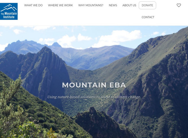
Mountain Institute: Learning About Mountains, Explore Mountains
The Mountain Institute provides information on three areas: Andes, Appalachians, and the Himalayas. Find resources on conservation, the mountain ecosystems, and the culture of the areas.
Adventure Learning Foundation
Adventure Learning Foundation: The Andes Expedition
Take an exciting exploration of South America, driving northward along the Andes, crossing back and forth between Chile, Argentina, Bolivia, and Peru. Explore the natural environment, culture, and people. It includes journals,...
The Field Museum
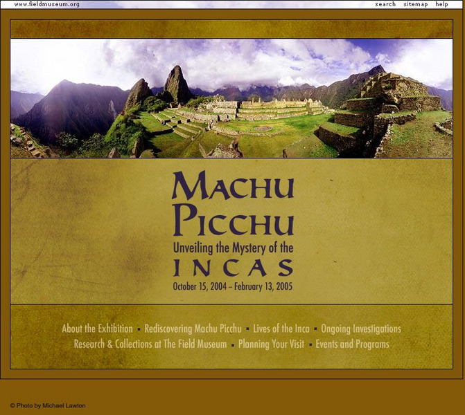
Field Museum: Exhibits: Machu Picchu: Unveiling the Mystery of the Incas
In the Andes Mountains lies the focus of the research presented in this exhibit, Machu Picchu, thought to be a retreat for ancient rulers of the Inca.
Globe Tracks
Travel for Kids: Ecuador
Learn about Ecuador, such as what to do in its capital city Quito, the Andes, the Amazon, the Galapagos Islands, and other places to see in this South American country.
Globe Tracks
Travel for Kids: Peru
An excellent site containing exciting things to learn about Peru from a family tourism perspective. Explore things to do in Lima, the Andes, Lake Titicaca, the Amazon, and the North of Peru. Also, contains picks for children's books on...
Curated OER
Etc: Maps Etc: The Peaks and Volcanoes Which Form the Andes, 1873
An orographic sketch map from 1873 of the Andes mountain chains. The map divides the system into the Andes of Columbia and Ecuador, Andes of Bolivia and Peru, Andes of Chile, and Andes of Patagonia. The map is keyed to show the prominent...
PBS
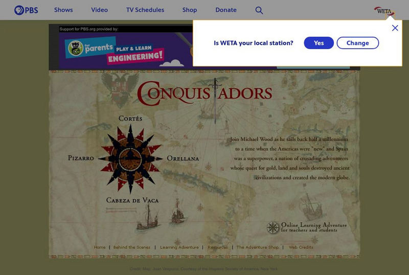
Pbs: The Conquistadors
A huge website that provides a virtual field trip exploring the Spanish adventurers who quested for gold and land in the New World. The site has information on Pizarro, Orellana, Cabeza de Vaca, Cortes as well as extensive information...
PBS
Pbs: The Conquistadors: Growth of the Inca Empire
Find out about the incredible and widespread Inca Empire. You can read about the geography of the empire, the religion, governmental structure, record-keeping system, and diet. Be sure to click on the hyperlinks or pictures to get even...
Curated OER
Galapagos, the Andes and Amazon of Ecuador
Travel with Evan on his adventure to South America. Through his journal, experience the Amazon Rainforest, the Andes Mountains, and the Galapagos Islands. Click on the bottom links to follow the further adventures of this family in...
Other
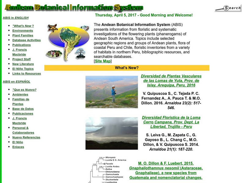
Andean Botanical Information System
Great research from the Andean Botanical Information System into the diverse environments and plants of the Andean region of South America, and particularly Chile and Peru. Available in Spanish or English, photographs and written...
Other
Care: Virtual Field Trip to Bolivia
Come and explore Bolivia with this fascinating virtual field trip. Learn all about the culture and challenges facing Bolivia as well as gathering information about the country and viewing vivid pictures of the region.
Other
Ecuador Pictures
A pictorial photo gallery of Ecuador that demonstrates the beauty of this small South American country. View animals, landscapes, towns, monuments, parks, the Rainforest, waterfalls, and so much more.
Read Works
Read Works: Aztecs, Incas, and Mayas the Land of the Four Quarters
[Free Registration/Login Required] An informational text about the Incan empire. A question sheet is available to help students build skills in reading comprehension.
Other
Ecuador 365
Enjoy a photographic journey through Ecuador in all seasons. You can travel from the jungle - full of exotic plants and animals - to the highlands with their immense snow-covered and still active volcanoes- all these you can see in...
Study Languages
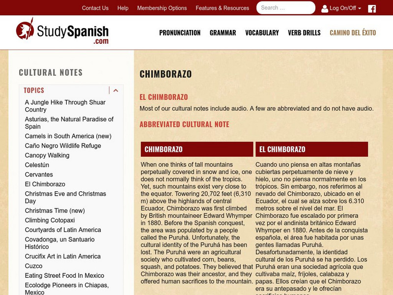
Study Spanish: El Ecuador
This site has an explanation in Spanish and English with a few comprehension questions about Ecuador's Mt.Chimborazo. An additional link provides more information on the indigenous people of Ecuador. Great reading selection for beginning...
Curated OER
Etc: Maps Etc: Physical Map of South America, 1898
A map from 1898 of South America showing the general physical features including mountain systems, prominent peaks and volcanoes, river and lake systems, plateaus, and coastal features. The map includes an insert of the Isthmus of...
Curated OER
Etc: Maps Etc: Orographical Map of South America, 1911
An orographic map of South America from 1911 showing the primary mountain systems and general elevations, and major river systems. The map is color-coded to show elevations from sea level to over 12000 feet, with highlands in buff tints...
Curated OER
Educational Technology Clearinghouse: Maps Etc: South America, 1906
A map from 1906 showing the general highlands and lowlands of South America and the national boundaries at the time. The map is color-coded to show highlands over 4000 feet above sea level in red tint, above 1000 feet in buff tint, and...
Curated OER
Educational Technology Clearinghouse: Maps Etc: South America (Physical), 1901
A map from 1901 of South America showing the physical features of the region. This map is color-coded to show general elevations from sea level to over 6,500 feet, mountain systems, drainage divides, lakes, rivers, coastal features, and...
Curated OER
Etc: Maps Etc: Physical Map of South America, 1916
A map from 1916 of South America showing the general physical features including mountain systems, prominent peaks and volcanoes, river and lake systems, plateaus, and coastal features. The map is color-contoured with land elevations...
Other popular searches
- Life in Andes Mountains
- Andes Mountains Model
- Andes Mountains and Culture
- Deadly Andes Mountains
- The Andes Mountains
- " Deadly Andes Mountains

