Hi, what do you want to do?
Texas State Library and Archives Commission
Texas State Library and Archives Commission: Hard Road to Texas 1836 1845: International Matter: Britain Makes Its Move
Why didn't Mexico recognize Texas independence? What was Mexico's proposal for Texas president Sam Houston in 1843? Read about this period in Texas history and check out primary texts that will help you explore this stage in Texas'...
University of Groningen
American History: Essays: Anglo Amer. Colonization in Texas: Texas 1836 1848
A brief look at the declaration of independence from Mexico by Texas in 1836, the removal of restrictions on slavery, and how this dramatically increased the population and led to a much greater reliance on the cotton industry in the...
Texas State Library and Archives Commission
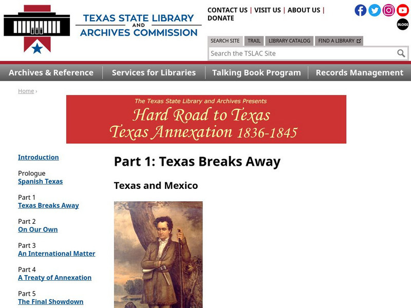
Texas State Library and Archives Commission: Hard Road to Texas 1836 1845: Texas Breaks Away Texas and Mexico
After being taken over by Mexico in 1821, Texas became very attractive to people wanting to settle. New policies, however, upset the Texans, which lead to rebellions and the Texas Revolution of 1836. Read about it all, and check out...
Texas State Library and Archives Commission
Texas State Library and Archives Commission: Hard Road to Texas 1836 1845: Santa Anna Strikes Back
Texas was "teetering on the edge of total disintegration" when Sam Houston returned to the presidency. The population was down, money was down, and Texas was defenseless against "a resurgent Mexico." Read more about this period in Texas'...
Texas State Library and Archives Commission
Texas State Library and Archives Commission: Hard Road to Texas 1836 1845: Houston Keeps His Options Open
What obstacles did Texas face in the 1830s during its request to become part of the U.S.? This article explores the setbacks Sam Houston and Texas faced due to the political climate of the times. Also, there are primary texts that...
Other
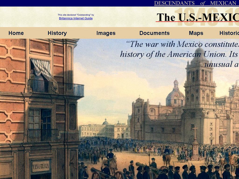
Dmwv: The u.s. Mexican War: 1846 1848
Dedicated to the memory of U.S. veterans who fought in the U.S.-Mexican War, this website provides documents, images, maps, and FAQs.
iCivics
I Civics: A Growing Nation
For this unit, students learn how the United States began to grow as soon as it became a nation, and they examine the effect of this growth on societies already established in North America. Register for a free account to download...
University of Virginia
Miller Center at Uva: u.s. Presidents: Martin Van Buren
Get the facts about the life and administraton of Martin Van Buren (1782-1862), the 8th President of the United States (1837-1841).
Texas State Library and Archives Commission
Texas State Library and Archives Commission: Early Statehood
From annexation in 1845 to secession from the Union in 1861, early Texas statehood was marked by several major issues. Learn about four of these issues: annexation, slavery, the 1850 Boundary Act, and secession.
Texas State Historical Association
Texas State Historical Association: The Law of April 6, 1830
Read this short overview of The Law of April 6, 1830 which was to counter concerns that Mexican Texas, part of the border state of Coahuila y Texas, was in danger of being annexed by the United States.
Texas State Library and Archives Commission
Texas State Library and Archives Commission: Hard Road to Texas 1836 1845: Spanish Texas
Texas was home to a "clash of three European empires" long before it became part of the United States. How did the Spanish claim Texas, and how was Spain outed by the Mexicans? Read about it all in this article, and check out related...
Other
Texas State Historical Association: The Law of April 6, 1830 [Pdf]
A reprinting of The Law of April 6, 1830 which was to counter concerns that Mexican Texas, part of the border state of Coahuila y Texas, was in danger of being annexed by the United States.
US Department of State
Bureau of International Information Programs: History Outline: Sectionalism
Article reviews several conditions of American society that sowed the seeds of civil war, particularly slavery and sectional conflict.
Henry J. Sage
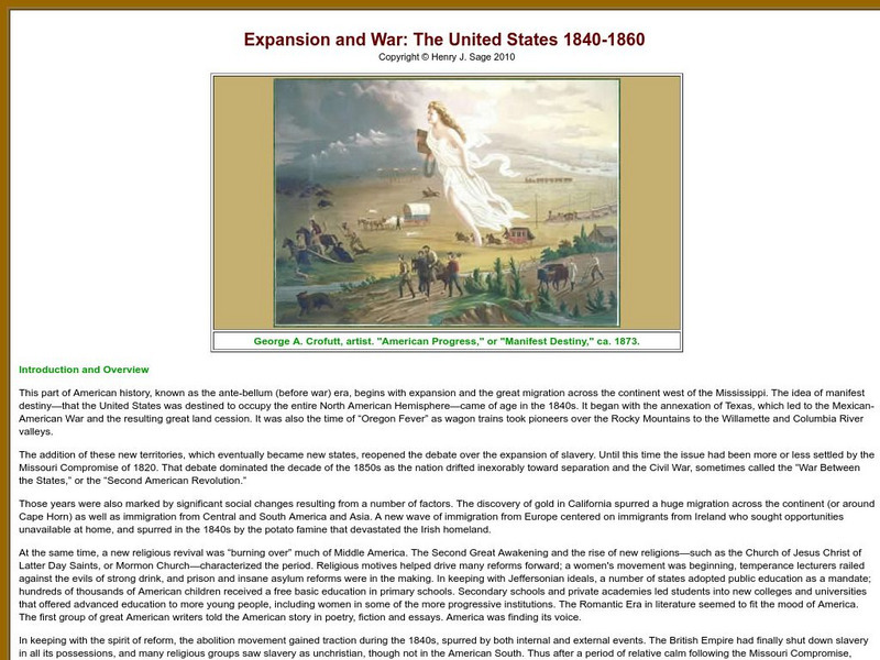
Sage American History: Expansion and War: The United States 1840 1860
Article on the era of westward expansion and the resulting Mexican American War. The author demonstrates how Manifest Destiny and frontier settlement led to the annexation of Texas and ultimately war with Mexico over the territory.
Digital History
Digital History: America's Manifest Destiny [Pdf]
After a brief discussion of Manifest Destiny in other parts of country, read about the Texas rebellion against Mexico, the battles against Santa Anna, and the treaties that made Texas an independent country. [pdf]
Independence Hall Association
U.s. History: "American Blood on American Soil"
President James Polk's desire was for the United States to stretch from sea to shining sea. See what happened when his overatures to Mexico to buy the land north of the Rio Grande River were spurned. Take a brief vote to see if Polk was...
Digital History
Digital History: The Mexican War
Read about the attempt by the United States to purchase land in the Southwest prior to the declaration of war between the two countries. Find out the causes of the war, and see that there was considerable opposition to the war in the...
University of Virginia
Miller Center at Uva: u.s. Presidents: John Tyler: A Life in Brief
A brief overview of the life of John Tyler. Hyperlinks to additional information.
University of Oregon
Mapping History Project: Territorial Expansion of the u.s. 1783 1853
Click on the sliding bar and watch how the United States territory grew with the Louisiana Purchase, Florida Acquisitions, Texas Annexation, Oregon Country, and Mexican Cession.
PBS
Pbs: New Perspectives on the West
This in-depth resource presents a history of the American West from pre-Columbian times until World War I with profiles, documents, and images. It encourages visitors to link these into patterns of historical meaning for themselves....
Other
Texas Bob: The Tri Weekly Telegraph: Death of Gen. Houston
Read the article from Texas' Tri-Weekly Telegraph from July 29, 1863, recounting the death of General Sam Houston. He was known for bringing Texas into the United States as a constituent state.
Curated OER
Etc: Expansion of the United States , 1783 1853
A map from 1904 of the United States showing the territorial acquisitions up to the Gadsden Purchase in northern Mexico in 1853. The map is coded to show the territory of the original United States and the Northwest Territory defined by...
Curated OER
Etc: Expansion of the United States, 1783 1853
A map from 1904 of the United States showing the territorial acquisitions up to the Gadsden Purchase in northern Mexico in 1853. The map is coded to show the territory of the original United States and the Northwest Territory defined by...
Curated OER
Etc: Expansion of the United States, 1783 1853
A map from 1912 of the United States showing the territorial acquisitions up to the Gadsden Purchase in northern Mexico in 1853. The map is color-coded to show the territory of the original United States and the Northwest Territory...








![Texas State Historical Association: The Law of April 6, 1830 [Pdf] Primary Texas State Historical Association: The Law of April 6, 1830 [Pdf] Primary](https://static.lp.lexp.cloud/images/attachment_defaults/resource/large/FPO-knovation.png)
