Other
New Bedford Whaling Museum: William Bradford: Sailing Ships and Arctic Seas
Online exhibit of the life and work of nineteenth-century American marine artist William Bradford, whose lifelong interest in the sea led him north from New Bedford to Labrador and to the Arctic Ocean. See examples of Bradford's...
Woods Hole Oceanographic Institution
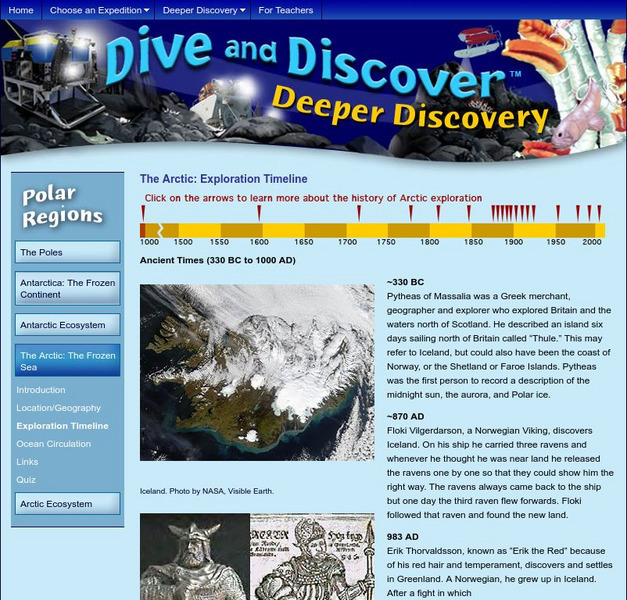
Woods Hole Oceanography Institute: The Arctic: Exploration Timeline
This interactive timeline traces the history of Arctic exploration from 330BC to 2000AD.
Other
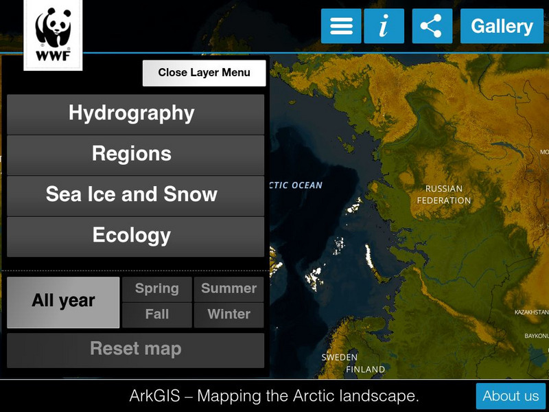
Ark Gis: Exploring the Arctic
Interactive mapping platform that combines and integrates existing data about the environment and human activity in the Arctic.
NOAA
Noaa: Ocean and Coasts
This website highlights the oceans of the world. Even though June is World Ocean Month, learning about oceans never ends! There are links here to many resources and lesson plans regarding the Arctic, Atlantic, Indian, Pacific, and...
The Franklin Institute
Missouri Botanical Garden: Ocean Facts
Click on all the links to find out many interesting facts about the ocean. Why is the ocean blue? Why is it salty? Where do most of the animals and plants live? Which ocean is the biggest? The deepest? How much of the Earth is covered by...
Museum of Science
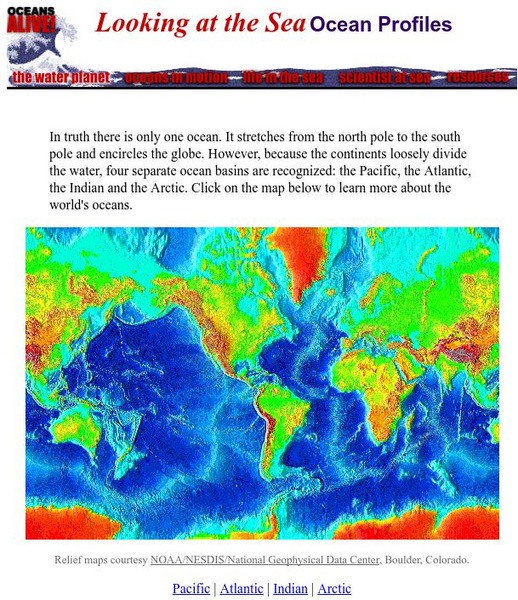
The Museum of Science: Oceans Alive: Ocean Profiles
An interactive map of the world's oceans allows you to access profiles for each of the four oceans.
Science Education Resource Center at Carleton College
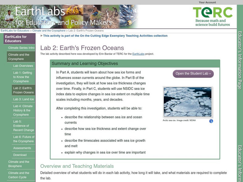
Serc: Lab 2: Earth's Frozen Oceans
A lab experiment in a series of experiments that investigates climate and the cryosphere. In this particular lab, students explore how sea ice forms, how sea ice thickness changes over time, and how sea ice can affect ocean currents...
Missouri Botanical Garden
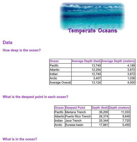
Missouri Botanical Garden: Temperate Oceans
Easy data tables compare the ocean depth of the four oceans, list the deepest point in each ocean, and list how much of different elements are contained in the oceans.
Science Education Resource Center at Carleton College
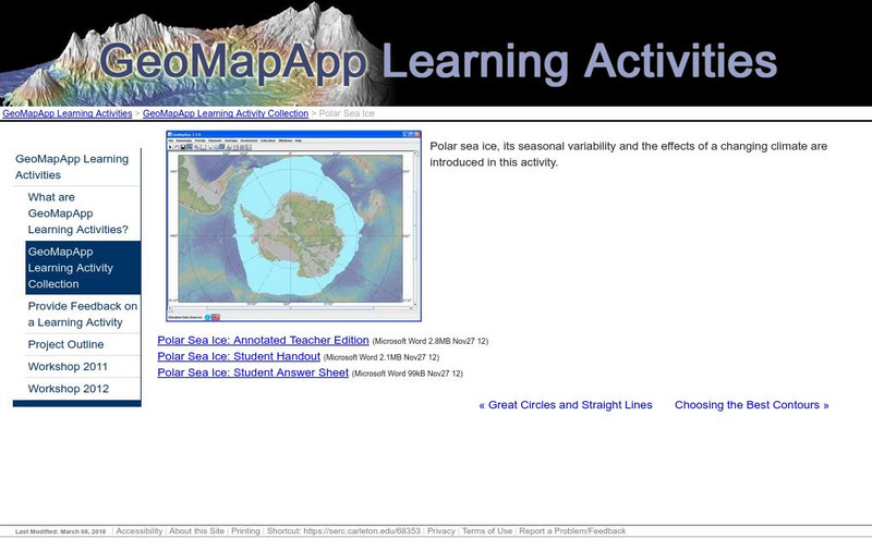
Serc: Polar Sea Ice
Polar sea ice, its seasonal variability, and the impact of a changing climate are investigated in this activity. Young scholars will also explore the differences between polar regions that result from Antarctica being a continent and the...
Sesame Street
Sesame Street Games
These interactive games allow young children to explore the jungle, the oceans and the arctic regions. Children can look for animals in that area of the world.
American Museum of Natural History
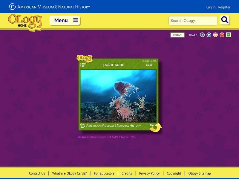
American Museum of Natural History: Polar Seas O Logy Card
Flip over this interactive OLogy card and start learning bite-size pieces of useful information about the marine life that lives in polar-sea regions.
Pittsburgh Zoo & PPG Aquarium
Pittsburgh Zoo: Polar Bear
The polar bear is native to the Arctic Ocean and its surrounding seas. Use this resource to discover other unique facts about the largest carnivore found on land.
World Geography Games
World Geography Games: Oceans
Identify the world's oceans through this interactive quiz.
Curated OER
Educational Technology Clearinghouse: Maps Etc: Nova Zembla, 1903
A sketch map from 1903 of the Russian islands of Nova Zembla (Novaya Zemlya) in the Arctic Ocean. Nova Zembla is an archipelago separated from the continent by the Kara Strait, with the two main islands, the northern Barents Land...
Curated OER
Etc: Maps Etc: The Murman Coast and Archangel, 1918
A map from 1920 of the Murman (Murmansk) Coast and Archangel (Arkhangelsk) during World War I. The map covers the area from the Kola Peninsula on the Arctic Ocean south to Petrograd (St. Petersburg), Yaroslavl, and Viatka. The map shows...
Curated OER
Educational Technology Clearinghouse: Maps Etc: River Basins of Asia, 1912
A map from 1912 showing the various drainage basins across the Asian region. This map is color-coded to show watersheds draining to the Pacific Ocean in pink, to the Indian Ocean in green, to the Arctic Ocean in purple and inland basins...
Curated OER
Educational Technology Clearinghouse: Maps Etc: Drainage Basins of Asia, 1916
A map from 1916 showing the various drainage basins across the Asian region. This map is keyed to show watersheds draining to the Bering Sea, Sea of Okhotsk, Sea of Japan, South China Sea, and Pacific Ocean, watersheds draining to the...
Curated OER
Etc: Maps Etc: Elevations of the Asian Continent, 1912
An orographic map of Asia from 1912 showing average elevations and land features of the region. The map uses color-contouring to show land elevations from depressions below sea level to above 12,000 feet. Offshore fathom contour lines...
Curated OER
Educational Technology Clearinghouse: Maps Etc: Eastern Canada, 1885
A map from 1885 of eastern Canada showing the provinces of Ontario, Quebec, New Brunswick, Prince Edward Island, Nova Scotia, with an inset map of Newfoundland. This map shows the county boundaries for the region, including the...
Curated OER
Educational Technology Clearinghouse: Maps Etc: North America, 1885
A map from 1885 of North America and Central America showing the major relief features of the region. The map shows the primary highland known as the Pacific Highland, with the Sierra Nevada and Rocky Mountains, the secondary highlands...
Curated OER
Educational Technology Clearinghouse: Maps Etc: Relief of North America, 1890
A relief map from 1890 of North America, Central America, Greenland, and the Caribbean to Puerto Rico showing the general mountain systems, highlands, and plains of the region. Major river systems are shown. "North America is the third...
University of California
Ucmp: The World's Biomes
The University of California Museum of Paleontology hosts this site devoted to the study of the earth's biomes, which are the world's major communities, classified according to the predominant vegetation and adaptations of organisms to...
Other
Greenpeace
This is the home site for the non-profit organization Greenpeace. Greenpeace is an organization whose primary concern are threats to the planet's biodiversity and environment. The site provides links to news about the organization, a...
Other popular searches
- Arctic Ocean Diorama
- Arctic Ocean Minerals
- Arctic Ocean Ecosystems
- Arctic Ocean Plan
- Arctic Ocean Biome Diorama
- Arctic Ocean Language Arts
- Arctic Ocean Niome Diorama
- Arctic Ocean Nome Diorama
- Greenland /Arctic Ocean
- The Arctic Ocean Landform
- Arctic Ocean Land Form
- Arctic Ocean Bio Me Diorama

