Curated OER
The Life and Death of the Byzantine Empire
Ninth graders understand the state of the world around the year 1000 AD as it pertains to the Byzantine Empire. They analyze and discuss the characteristics of the Byzantine Empire.
Curated OER
The Tet Offensive and the Vietnam War
Students comprehend how the United States became involved in what one historian called the quagmire. Students identify and analyze the importance of the Tet Offensive in turning American public opinion against the Vietnam War. Students...
Enchanted Learning
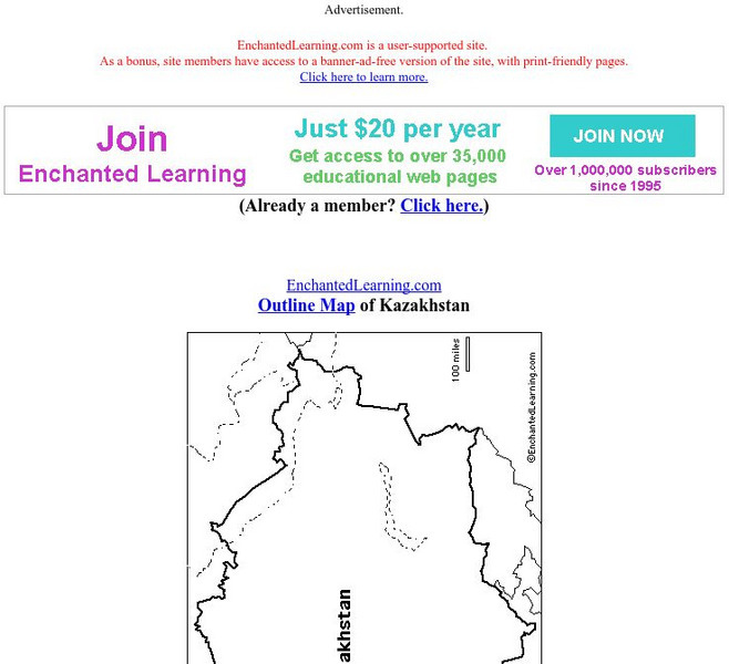
Enchanted Learning: Outline Map of Kazakhstan
Print out this outline map of Kazakhstan.
Enchanted Learning
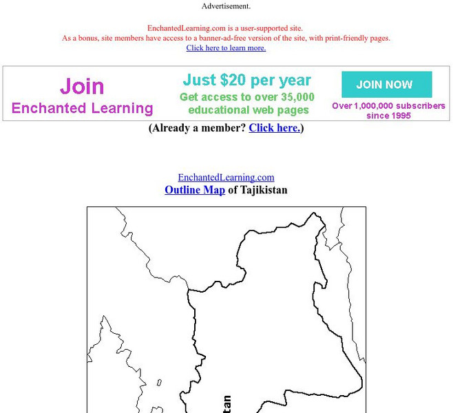
Enchanted Learning: Outline Map of Tajikistan
Practice what you know about Tajikistan's geography by printing out and filling in this outline map.
Enchanted Learning
Enchanted Learning: Outline Map of Kyrgyzstan
This site offers an outline map of Kyrgyzstan to print out.
Columbia University
Asia for Educators: Outline Maps
The outline maps are designed to be used as transparencies that can be overlaid on an overhead projector to demonstrate the diversity of China's physical and cultural geography. Copies can be printed out and reproduced also for student...
Cool Math
Coolmath: Coolmath Games: Map Snap: Asia
You are presented with an outline map of Asia and you must place each country in its correct position. It clicks into place if you're in the right spot. You may want to start with the practice mode which has the shape outlines of the...
Curated OER
Educational Technology Clearinghouse: Maps Etc: Natural Regions of Asia, 1920
A map from 1920 of Asia showing principal physical features and natural regions. The map is color-coded to show lands below sea level, lowlands, uplands and plateaus, the older, worn down mountains, and younger, rugged mountains. The map...
Curated OER
Educational Technology Clearinghouse: Maps Etc: Landforms of Asia, 1904
An outline map from 1904 of Asia showing mountain systems, plateau, plains, major lakes, rivers, coastal features, and seas of the region. This map is used as a key map for locating landform features on a traditional relief map, where...
Curated OER
Etc: Maps Etc: Physical and Political Asia, 1870
A map of Asia from 1870 showing country boundaries at the time, major cities, mountain systems, rivers, lakes, deserts, terrain, and coastal features. An inset map details the area of Palestine, and an outline map of Pennsylvania at the...
Curated OER
Etc: Maps Etc: Physical, Political, and Economic Asia, 1872
A map of Asia from 1872, showing physical features including mountain systems, deserts, lakes, rivers with direction of flow, coastal features, and ocean currents, political boundaries and foreign possessions at the time, and commercial...
Curated OER
Educational Technology Clearinghouse: Maps Etc: Asia, 1904
A map of Asia from 1904 showing country boundaries at the time, major cities, rivers, lakes, deserts, terrain, and coastal features. This map shows the extent of the Russian Empire and Turkish Ottoman Empire in Asia, the Empire of Japan...
Curated OER
Educational Technology Clearinghouse: Maps Etc: Asia, 1899
A map of Asia from 1899 showing country boundaries at the time, foreign possessions, capitals and major cities, rivers, canals, lakes, deserts, terrain, and coastal features. This map shows the principal railways and caravan routes of...
Curated OER
Educational Technology Clearinghouse: Maps Etc: Asia (Physical), 1901
A map of Asia from 1901 showing the physical features of the region including mountain systems, plateaus, basins, plains, deserts, lakes, rivers, and coastal features and islands. The map shows major ocean currents, the mean annual...
Curated OER
Educational Technology Clearinghouse: Maps Etc: Europe, 1901
A map from 1901 of Europe, showing the political boundaries at the time, capitals and other major cities, mountain and terrain features, lakes, rivers ,islands, and coastal features of the region. The physical division between Europe and...
Curated OER
Educational Technology Clearinghouse: Maps Etc: Drawing Asia, 1872
A chart from 1872 illustrating instructions for drawing Asia. "General instructions for drawing the continents. Make a scale by marking on a slip of paper or pasteboard the measures 1,2,3, etc., as on the sides of this map. Every measure...
Curated OER
Etc: Maps Etc: Comparative Area of Asia and the United States, 1899
A base map from 1899 showing the relative size of Asia by superimposing an outline of the United States over it.


