Houghton Mifflin Harcourt
Holt, Rinehart and Winston: World Atlas: Canada
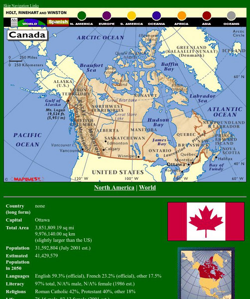
A detailed map showing the provinces and territories of Canada. You can enlarge the details by clicking on any area or name on the map.
Other
Discover Canada Through National Maps and Facts: Relief
Links to all of Canada's provinces and territories relief maps. Maps can be viewed as a picture or as a .pdf file. Be sure to check out the links to lesson plans as well as the many other types of maps.
Can Teach
Can Teach: Creating an Edible Map
This imaginative lesson uses food products to demonstrate the physical characteristics of maps.


