National Geographic
Australia, Antarctica, and Oceana
Go on a traveling adventure throughout Australia, Oceana, and Antarctica! This textbook excerpt offers a full unit of study that can easily be supplemented by extra projects or research materials. Learners study maps, read about...
Curated OER
G'Day Mate
Students understand that Australia is the smallest continent, locate it on a map and sing about the continents. In this Australia lesson, students listen to facts about Australia and complete a book about information they have learned.
California Polytechnic State University
Australian Geography Unit
At the heart of this resource is a beautifully detailed PowerPoint presentation (provided in PDF form) on the overall physical geography of Australia, basic facts about the country, Aboriginal history, and Australia culture and lifestyle.
Australian Government
The Great Artesian Basin
Covering 23% of the continent and holding 64,900 cubic kilometers of water, the Great Artesian Basin is the primary source of water for much of inland Australia. Using detailed student worksheets, experiments, and case studies,...
Curated OER
We've got the whole world in our hands
Students explore spatial sense in regards to maps about the globe. In this maps lesson plan, students label oceans, locate the continents and poles, follow directions, and explain the symbols on a map.
Curated OER
Getting to Know My World
Students participate in hands-on activities using maps and globes to identify geographical features. Students use map legends to identify direction. Students locate oceans, continents, countries, states and cities. Handouts and...
National Museum of Australia
Telling Our Indigenous Stories
How far back is 40,000 years? Scholars research the first indigenous people in Aboriginal Australia. Using museum artifacts, maps, and background readings, they form conclusions on the life of the first Australians and their struggles to...
Curated OER
Yo-ho, Yo-ho a Viking's Life for Me
Students complete a unit of lessons on the Vikings. They analyze maps, read and discuss myths, summarize the main ideas from resource materials, watch videos, sing a song, draw a picture to illustrate Norse mythology, and define key...
Curated OER
Traveling Through North America
Students identify places and landmarks in North America, specifically Canada and the United States, by using and constructing maps. Six lessons on one page; includes test.
Curated OER
Landforms All Around
Students create a "Landform Dictionary". They develop an overlay map and participate in hands-on activities to identify the key characteristics of landforms. They discuss the plant and animal life of these areas. Handouts for the lessons...
Curated OER
Travel to Mesoamerica
Students research books, watch movies, and look on the internet to find information on ancient America, Mexico, and Central America. In this Mesoamerica lesson plan, students participate in a social studies unit on North America of the...
Curated OER
Regions of South America
Students explore facts about South America in the four lessons of this unit. Booklets are created from the materials produced as the class delves into the topic.
Curated OER
Land of the Rising Sun
Students survey aspects of traditional and modern Japanese customs and beliefs in the seven lessons of this unit. Both the culture and the geography of the country are studied in this unit.
Curated OER
Exploring the Continents Through the Arts
Students examine the continents and explore geographic components in the fifteen lessons of this unit. The location of the continents, the equator, the four major oceans, and the music, food, literature, dance, and drama from each of the...
Enchanted Learning
Enchanted Learning: Australia: Geography, States and Territories, Population
Facts about Australia's geography, including population, government and economy, largest cities, and landmarks such as the Great Barrier Reef and more.
Enchanted Learning
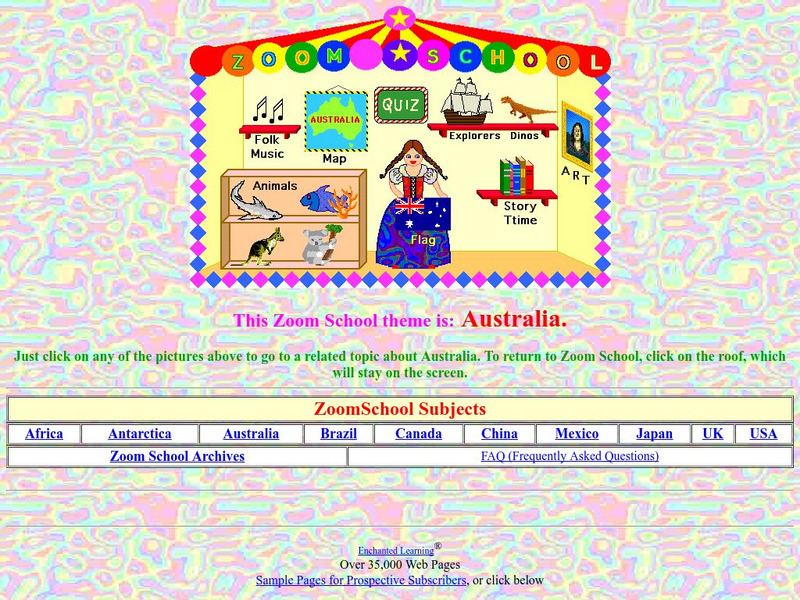
Enchanted Learning: Zoom School: Australia
Use this site to visit the land Down Under and learn about the country of Australia. Explore art, history, animals, flags, explorers, folk music, dinosaurs, map, geography, story time and more. Includes an interactive quiz.
Other
University of Queensland Australia: Digital Essentials: Choosing the Right Tool
Finding the right software, tool or app can be challenging. This module will help you find a tool for a specific task and allows you to compare similar tools to find the best match. Some of the information is only useful for university...
Other
National Library of Australia: South Seas: Captain Cook
South Seas is an online reference guide to Captain James Cook's momentous first Pacific voyage of discovery (1768-1771). As well as providing the full text of Cook's journal and other important contemporary accounts of the voyage, it...
E-learning for Kids
E Learning for Kids: Math: Music Center: Fractions & Decimals
Meet Marissa who manages a Music Center in Australia. Can you help her decide how many seats she sold?
E-learning for Kids
E Learning for Kids: Math: Great Barrier Reef: Subtraction
Lana lives near the Great Barrier Reef in Australia. Help her count the animals in and around the reef.
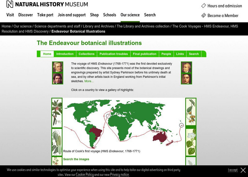
Natural History Museum
Natural History Museum (London): The Endeavour Botanical Illustrations
A series of articles and online exhibits that gives information on the various specimens, plants and animals that were collected and illustrations were then made. Cook led the world's first scientific naval expedition to the South Pacific.
Other popular searches
- Mapping Geography Australia
- Map of Australia
- Types of Maps Australia
- Types of Maps "Australia
- Types of Maps "Australia"
- Mapping Australia
- Australia Map Skills
- Social Studies Australia Map
- Australia Map Outline
- Australia Mapping Activities
- Label Map of Australia
- Australia Map Game


