Other
Geoscience Australia: Map Reading Guide: How to Use Topographic Maps [Pdf]
A topographic map can be challenging to read. This guide explains how to decipher one and how to use a magnetic compass to orient yourself to the landscape. It also explains how to use GPS coordinates.
University of Texas at Austin
The Perry Castaneda Library Map Collection
This collection contains more than 250,000 maps covering all areas of the world, and ranging from political and shaded relief maps to the detailed and the historical. Select from a region of the world or an area of highlighted interest.
University of Texas at Austin
Perry Castaneda Library Map Collection: Historical Maps of Australia
These incredible historical maps from the University of Texas Library Online provide a clear and detailed account of Australia's history. They also include maps of New Zealand and Tasmania.
Nations Online Project
Nations Online: Australia
Great reference directory for finding information on Australia. Content includes background details, a country profile, and numerous links to comprehensive information on the nation's culture, history, geography, economy, environment,...
Lizard Point Quizzes
Lizard Point: Australia: State and Territory Capitals
Try this interactive geography quiz which tests your knowledge about the state and territory capitals of Australia.
BBC
Bbc News: Country Profile Australia
A comprehensive country profile focusing on the continent of Australia. Topics include basic facts, early history, colonization and settlement, politics, and economy. A map and links to related topics are included.
Other
Bureau of Meteorology: The Weather Map
Explains what a weather map is and how it is prepared. Describes what weather maps show, typical weather patterns in Australia, the use of weather charts, temperature, and wind speed.
NOAA
Noaa: Cpc: Regional Climate Maps
Provides large colorful maps of climate data about each continent for the current week, month, or previous quarter.
Curated OER
University of Texas: Vanuatu: Relief Map
A relief map of the several islands that make up the country of Vanuatu. An inset shows the islands in relation to others in the South Pacific. Clicking on the map will enlarge it. From the Perry Castaneda Collection.
Curated OER
University of Texas: Solomon Islands: Political Map
A political map of the Solomon Islands in the Coral Sea. An inset shows the islands in relation to other islands in the South Pacific. Clicking on the map will enlarge it. From the Perry Castaneda Collection.
Curated OER
University of Texas: Papua New Guinea: Relief Map
A relief map of the islands of Papua New Guinea showing both the mountainous regions and coastal plains. Clicking on the map will enlarge it. From the Perry Castaneda Collection.
Curated OER
University of Texas: Papua New Guinea: Political Map
A political map of the islands of Papua New Guinea which shows the province borders, major cities, and highways.
Enchanted Learning
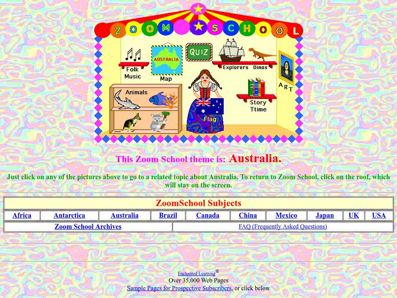
Enchanted Learning: Zoom School: Australia
Use this site to visit the land Down Under and learn about the country of Australia. Explore art, history, animals, flags, explorers, folk music, dinosaurs, map, geography, story time and more. Includes an interactive quiz.
National Geographic Kids
National Geographic Kids: Find People and Places: Australia
Click-through facts-and-photo file about Australia's geography, nature, history, people, culture, and government. Includes a map of the country that pinpoints its Pacific location and a video about ancient rock paintings made by the...
University of California
Earthguide: Maps: Shaded Relief: Australia [Pdf]
View a digital image of a colored shaded relief map of Australia.
Other
Public Domain Maps of Australia
Clear maps of Australia in color. Other maps are also available for viewing or download through links on the page.
Lizard Point Quizzes
Lizard Point: The Australia Quiz
An eight-question geography quiz over Australia.
Other
Kids World Travel Guide: Australia
Here are some interesting Argentina facts which were chosen and researched by kids, especially for kids. Includes history, maps, geography, attractions, animals, people, language, and food.
Curated OER
Science Kids: Science Images: Map of Australia
A map featuring Australia and its neighboring countries.
Curated OER
University of Texas: Norfolk Island: Political Map
A small political map of Norfolk Island, a territory of Australia.
Curated OER
Etc: Maps Etc: Australia and the West Pacific in the Ice Age, 20,000 To10,000 Bc
A map showing Australia and the Western Pacific in the Glacial Age (the Maximum of the Fourth Ice Age, about 50,000 years ago - Wells). While the waters were held up in the polar ice caps, the sea-level was low enough to enable...
Curated OER
Etc: Maps Etc: Political Map of Australia and Surrounding Area, 1915
A map from 1915 of Australia and surrounding area showing the political boundaries throughout the region at the time.
![Geoscience Australia: Map Reading Guide: How to Use Topographic Maps [Pdf] Handout Geoscience Australia: Map Reading Guide: How to Use Topographic Maps [Pdf] Handout](https://d15y2dacu3jp90.cloudfront.net/images/attachment_defaults/resource/large/FPO-knovation.png)


