University of Texas at Austin
Perry Castaneda Library Map Collection: Historical Maps of Australia
These incredible historical maps from the University of Texas Library Online provide a clear and detailed account of Australia's history. They also include maps of New Zealand and Tasmania.
Other
Aao: The Anglo Australian Observatory Homepage
The Anglo-Australian Observatory located in the center of Australia is a joint venture between the Australian and British governments. Page gives basic information about the observatory and its telescopes. Check out the site map first...
Curated OER
Clip Art by Phillip Martin: Australian Map
A clipart illustration by Phillip Martin titled "Australian Map."
Curated OER
Clip Art by Phillip Martin: Australian Map
A clipart illustration by Phillip Martin titled "Australian Map."
Australian Broadcasting Corporation
Australian Broadcasting Corporation: Oceans Alive: Whale Dreams
You can click on whale spotting in Australia, types of whales, global whale sanctuary and whale songs. View maps and diagrams that can help you spot whales.
Other
Australian Genome Research Facility (Home Page)
This is the homepage of the Austrialian Genome Research Facility. It is dedicated to the sequencing of DNA and understanding genetics.
Curated OER
Educational Technology Clearinghouse: Maps Etc: Australasian Island Chain, 1890
A map from 1890 showing the Australasian chain of islands from the Malay Peninsula to New Zealand. "The Australasian Chain sweeps in a double curve from the Sunda Islands to New Zealand, and consists of a number of parallel...
Curated OER
Etc: Maps Etc: Great Archipelagoes and the Australian Colonies, 1879
A map from 1889 showing Malaysia, Melanesia, Australia, New Zealand, and a portion of Micronesia and Polynesia.
Curated OER
Educational Technology Clearinghouse: Maps Etc: Australia and New Zealand, 1916
A physical and political map of Australia and New Zealand in 1916 showing the states, territories, and divisions of Australia, including the commonwealth claims to southeastern New Guinea. This map also shows color-coded elevations from...
Curated OER
Educational Technology Clearinghouse: Maps Etc: Landforms of Australia, 1885
A color relief map of Australia showing the mountain and highland systems of Australia, including the Australian Alps, and the central lowlands. This map also shows the Murray River and other major rivers and lakes.
Curated OER
Educational Technology Clearinghouse: Maps Etc: New South Wales, 1920
A 1920 map of New South Wales in Australia showing cities, rivers, mountains, and coastal features. The Federal District and the Australian capital of Canberra are also shown.
National Geographic Kids
National Geographic Kids: Find People and Places: Australia
Click-through facts-and-photo file about Australia's geography, nature, history, people, culture, and government. Includes a map of the country that pinpoints its Pacific location and a video about ancient rock paintings made by the...
Enchanted Learning
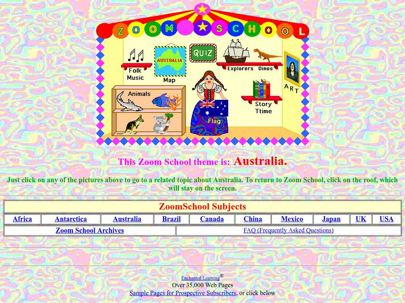
Enchanted Learning: Zoom School: Australia
Use this site to visit the land Down Under and learn about the country of Australia. Explore art, history, animals, flags, explorers, folk music, dinosaurs, map, geography, story time and more. Includes an interactive quiz.
Lizard Point Quizzes
Lizard Point: Australia: State and Territory Capitals
Try this interactive geography quiz which tests your knowledge about the state and territory capitals of Australia.
US Geological Survey
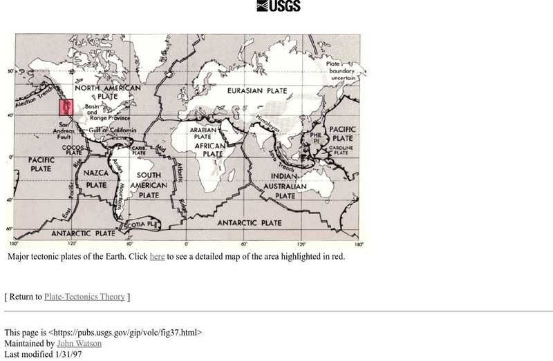
Usgs: Major Tectonic Plates of the Earth
A map of major tectonic plates of the Earth showing where the Eurasian and Indo-Australian plates are located.
Other
University of Delaware: Plate Tectonics
This site is a very simple overview of plate tectonics. It includes a map of all the major plates and a diagram of the layers of the earth.
Curated OER
Australian Prime Minister
From the BBC, an overview of the Asia-Pacific country of Australia. Presents a map, timeline, facts at-a-glance, and information on leaders and the media. For fun, listen to the Australian national anthem.
Curated OER
Map of Australia
From the BBC, an overview of the Asia-Pacific country of Australia. Presents a map, timeline, facts at-a-glance, and information on leaders and the media. For fun, listen to the Australian national anthem.
Curated OER
Personal Site: Great Victoria and Gibson Deserts
Basic information about the climate and weather in the Great Victoria and Gibson Deserts. Includes a map depicting where it is located.
Natural History Museum
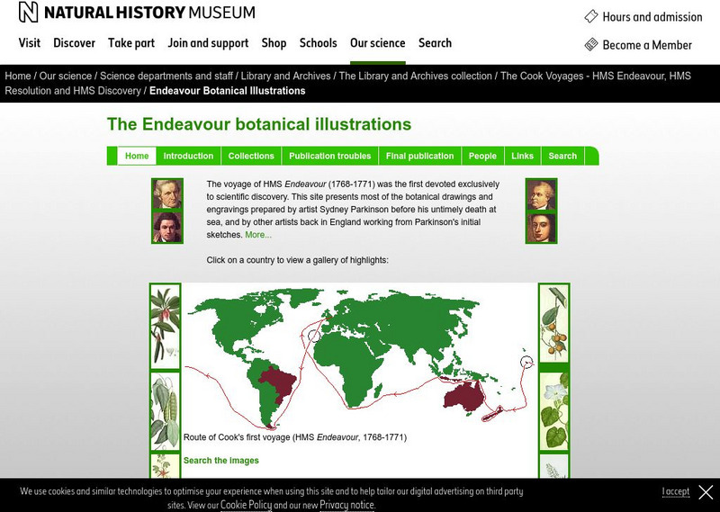
Natural History Museum (London): The Endeavour Botanical Illustrations
A series of articles and online exhibits that gives information on the various specimens, plants and animals that were collected and illustrations were then made. Cook led the world's first scientific naval expedition to the South Pacific.
Curated OER
Sydney Skyline, Including Opera House
From the BBC, an overview of the Asia-Pacific country of Australia. Presents a map, timeline, facts at-a-glance, and information on leaders and the media. For fun, listen to the Australian national anthem.
Curated OER
Parliament Building, Canberra
From the BBC, an overview of the Asia-Pacific country of Australia. Presents a map, timeline, facts at-a-glance, and information on leaders and the media. For fun, listen to the Australian national anthem.


