Curated OER
Australian Map (Regions)
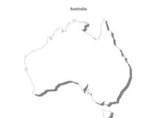
In this Australian map worksheet, students research and label the regions of Australia on an Australian map. Students check their labeled regions when completed.
Curated OER
The Constitution: A New Federation
Students explore political parties by researching world history in class. In this Australian government instructional activity, students identify the term "federation" and discuss the elements of Australian politics. Students analyze a...
Curated OER
Australia
In this map of Australia worksheet, students research and study a map of Australia. Students label Australia's regions, major states and important landmarks.
Curated OER
Why Koala Has A Stumpy Tail
Students examine Australian folktales. In this folktales lesson, students read the Australian folktale, Why Koala Has a Stumpy Tale. Students list characteristics of the characters from the book. Students act out these characteristics...
Curated OER
Australia
In this Australia map, students research and locate the main regions, states and important landmarks found on the map and discuss them with their classmates.
Curated OER
Lesson Plan on Australian Aborigines
Fourth graders investigate the nomadic lifestyle of the Aborigines both before and after the arrival fo the Europeans. They identify the roles of men and women, languages and number of tribes. They act out skits based on the lesson plan.
Curated OER
Aerial Photographs
In this geography worksheet, students read an excerpt about aerial photographs and how they are taken. Then they identify shape, size, tone, shadows, and other hints that might be seen. Finally, students respond to 5 short answer...
Curated OER
Shaky New Zealand
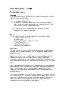
Students explore Earth science by building a model in class. In this tectonic plate lesson, students identify the impact tectonic shifts have on humans and animals and where the plates and faults lie under New Zealand. Students examine...
Curated OER
Warlugulong
Students explore and appreciate variety of ways in which environment can be depicted for range of purposes. They compare different representations of place and environment, and analyze ways information is being communicated.


