Hi, what do you want to do?
Curated OER
Educational Technology Clearinghouse: Clip Art Etc: Battle of Gettysburg
Drawing of the fighting at Gettysburg.
Read Works
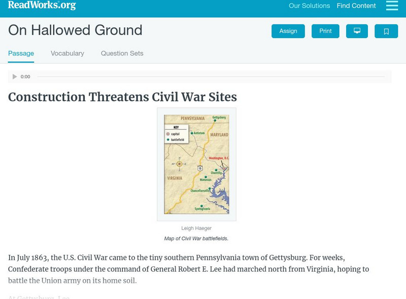
Read Works: On Hallowed Ground
[Free Registration/Login Required] An informational text about the battle of Gettysburg and efforts being made to preserve famous battlefields. A question sheet is available to help students build skills in reading comprehension.
Wikimedia
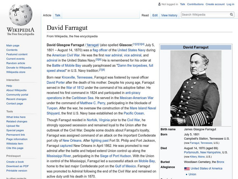
Wikipedia: David Farragut
This encyclopedia article from Wikipedia explores the life and work of David Glasgow Farragut, an admiral of the U.S. Navy during the American Civil War. Farragut is often remembered for the heroic quotation, "Damn the torpedoes, full...
Other
Georgia's Blue and Gray Trail: Northern Virginia Campaign
After scrolling through a timeline of the North Virginia Campaign, you can read a description of the campaign and follow hyperlinks to more information.
Curated OER
Etc: Maps Etc: Vicinity of Richmond and Petersburg, 1862
A map of the vicinity of Richmond and Petersburg during the Civil War, showing several important battle sites of the Peninsula Campaign.
Curated OER
Educational Technology Clearinghouse: Maps Etc: Vicinity of Charleston, 1861
The vicinity of Charleston, North Carolina in 1861, site of Fort Sumter and the opening battle of the American Civil War. The map shows the city of Charleston and railroads, the Union held Fort Sumter and light house at the mouth of the...
Other
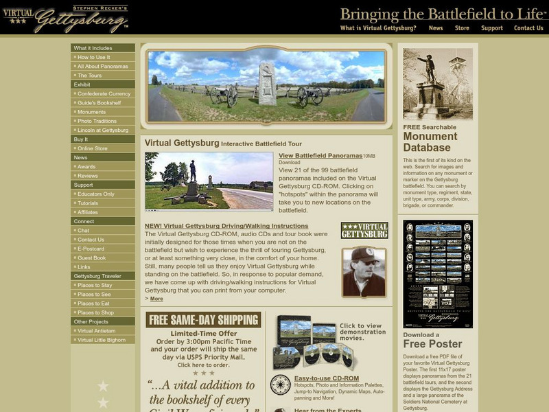
Virtual Gettysburg: Interactive Battlefield Tour
Although this site is advertising a complete CD-ROM package of Virtual Gettysburg, the accompanying free information is beneficial. There are free panoramas, pictures of monuments, and online exhibits of Confederate currency and "Lincoln...
Siteseen
Siteseen: American Historama: Gettysburg Address
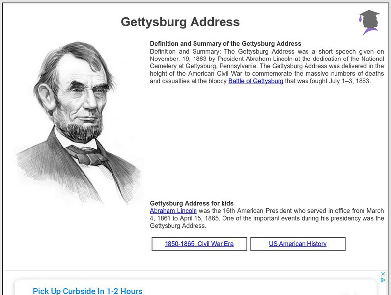
Provides interesting facts and important information about the Gettysburg Address commemorating the massive deaths at the bloody Battle of Gettysburg.
Other
Behind the Stonewall: The Wheatfield, Gettysburg, Pa
This website provides an interactive/panoramic view from The Wheatfield as it stands today. The descriptive content which follows details the battle fought there using modern day landmarks.
Other
Behind the Stonewall: Big Round Top, Gettysburg, Pa
This website provides an interactive/panoramic view from the peak of Big Round Top as it stands today. The descriptive content which follows details the battle fought there using modern day landmarks.
Other
Behind the Stonewall: Devil's Den, Gettysburg, Pa
This website provides an interactive/panoramic view from the top of Devil's Den as it stands today. The descriptive content which follows details the battle fought there using modern day landmarks.
Other
Behind the Stonewall: Little Round Top, Gettysburg, Pa
This website provides an interactive/panoramic view from the "military crest" of Little Round Top as it stands today. The descriptive content which follows details the battle fought there using modern day landmarks.
Curated OER
National Park Service: Stones River National Battlefield
While the Stones River Campaign did not clearly define a winner, the battles which took place on this national battlefield marked a much needed boost to the Union Army in their efforts to begin implementing the Emancipation Proclamation....
Library of Congress
Loc: Map Collections 1500 2002
This collection provides maps dating back to 1500 up to the present. The collection includes: cities, towns, discovery and exploration, conservation and environment, military battles, cultural landscapes, transportation, communication,...
Curated OER
Educational Technology Clearinghouse: Maps Etc: The Seven Days Battle, 1862
A map of the area around Richmond, Virginia showing the sites of the Seven Days Battle, which took place June 26-July 2, 1862 during the American Civil War. The map shows the roads and railways to the east of Richmond, and the battle...
Curated OER
Etc: Vicinity of Fortress Monroe, 1861 1865
A map of the vicinity of Fort Monroe near Hampton and Norfolk, Virginia, during the American Civil War. The map shows forts, coastline features, the site of the Battle of Great Bethel, and the waters of Hampton Roads off Sewell's Point...
Curated OER
Educational Technology Clearinghouse: Maps Etc: The War in the West, 1861 1865
A map of the western seat of war during the American Civil War, showing cities, forts, rivers, and significant battle sites.
Curated OER
Educational Technology Clearinghouse: Maps Etc: The War in the East, 1863
A map showing the major battle sites in the east in 1862-1863 during the American Civil War. The map shows major cities, rivers, and the sites of Fredericksburg, Chancellorsville, Wilderness, Spottsylvania, Mount Cedar, Mechanicsville,...
Curated OER
Etc: Theatre of War in the East, 1861 1865
A map of the eastern seat of war during the American Civil War, showing cities, railroads, mountains and terrain, forts, rivers, and significant battle sites.
Curated OER
Educational Technology Clearinghouse: Maps Etc: The War in the East, 1861 1865
A map showing the area of the American Civil War in the east, including the major battle sites of Bulls Run Creek, Manassas Junction, Fredericksburg, Chancellorsville, Wilderness, Spottsylvania, Mechanicsville, Cold Harbor, Malvern Hill,...
Curated OER
Gettysburg Battle Map
A short biography of Dan Sickles, a Union solider in the American Civil War. Includes an audio interview of a Dan Sickles biographer and links to other resources.
Curated OER
Etc: Theatre of War in the United States, 1861 1865
A map showing the extent of the Confederate territories east of the Mississippi River during the American Civil War (1861-1865). The map shows state lines and capitals, major cities, forts, battle sites, and rivers in the region. The map...
Curated OER
Educational Technology Clearinghouse: Maps Etc: Positions of Armies, 1863
A map of the area from Philadelphia to Danville on the North Carolina State Line, showing the area of operations in 1863 during the American Civil War. The map shows major cities and towns, railroads, mountains, and rivers in the area,...
Curated OER
Educational Technology Clearinghouse: Maps Etc: The War in the East, 1863
A map of southern Pennsylvania, Maryland, and northern Virginia showing the area of General Robert E. Lee's Northern Campaign in 1863. The map shows major cities, railroads, terrain, and rivers in the area. The goal of Lee's campaign,...


