Curated OER
Golden Spike at the Stanford University Museum
In-depth look at the ceremony at Promontory Point upon the completion of the transcontinental railroad. The author discusses the preparation for the ceremony, the use of four ceremonial spikes, and what became of them. From an article in...
Curated OER
Miniature Gold Spike Souvenir Presented by David Hewes to Benjamin Cox
In-depth look at the ceremony at Promontory Point upon the completion of the transcontinental railroad. The author discusses the preparation for the ceremony, the use of four ceremonial spikes, and what became of them. From an article in...
Curated OER
Educational Technology Clearinghouse: Maps Etc: Arizona Highlands, 1911
A map from the U.S.Geological Survey Camelback quadrangle (1911) showing the waste-bordered mountains of the Arizona Highlands. The text notes the lack of a permanent stream, the large number of intermittent streams as shown by the...
Curated OER
Educational Technology Clearinghouse: Maps Etc: Bear Valley Region, 1911
A map of a portion of the San Bernardino Mountains near Big Bear Lake in 1911. The map is based on the USGS San Gorgonio quadrangle, with contour intervals of 500 feet. "Bear Valley and the adjacent country exhibit the subdued relief...
Curated OER
Educational Technology Clearinghouse: Maps Etc: Southern Rockies, 1911
A map from 1911 of the southern Rockies showing the main topographic features of the region, including; the eastern foothills (hogback topography); the Colorado or Front Range and Wet Mountains; the Park, Sawatch (or Saguache), and...
Curated OER
Etc: Maps Etc: Drainage on the Laurentian Plateau, 1911
A map from 1911 of a portion of the Laurentian Plateau region of North America showing the drainage and lake network west of Lake Nipigon. The map shows the division line for waters flowing to the Albany and the Winnipeg river systems,...
Library of Congress
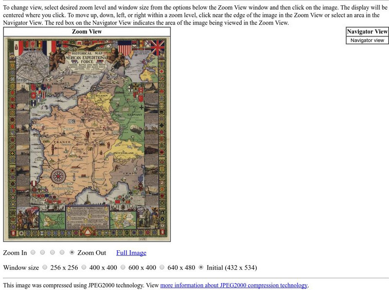
Loc: American Memory: Historical Map American Expeditionary Force
Explore this interesting historical map drawn by Ezra C. Stiles that showed the American Expeditionary Force in Europe during World War I.

