Curated OER
Sailing Through History
Pupils research examples of different types of sailing ships, investigating the vessels as well as the politics, economy, and people at the historical time and place the boat was launched. They create displays for a museum exhibit about...
Curated OER
Lesson 11: Illinois History 1800's Dual Timeline
Students identify and research key event in the history of Illinois during the 1800's and create a dramatic skit or oral report based on the event.
Curated OER
Helping Countries in Turmoil
Students discover the struggles of emerging democracies. In this service learning instructional activity, students research a non-profit agency that is assisting the people of an emerging democracy and create and advertisement.
Curated OER
Helping Countries in Turmoil
Students create an advertisement that promotes a nonprofit. In this service learning lesson, students research emerging democracies and brainstorm ways to help local nonprofit organizations.
Curated OER
Weather Watchers
Students are introduced to an Underground Weather Stations. In groups, they use the internet to research the weather in different parts of the United States locating each city. To end the lesson, they summarize the information they...
Curated OER
Tear the Continents
Young scholars tear paper into representative continent shapes and configure them with world oceans through relative location, direction and latitude and longitude starting points. They recognize the shape of the continents. Students...
Curated OER
Shaky New Zealand
Students explore geography by answering study questions in class. In this plate tectonics lesson, students identify the earthquake data concerning the country of New Zealand and answer questions regarding the data. Students identify...
Curated OER
Can't Live With 'Em, Can't Live Without 'Em
Students compare/contrast the factors that create strong relationships between countries, researching the evolving relationship between Britain and France. They create a scrapbook that documents the major events in the history of Britain...
Curated OER
Arkansas Regions As They Relate To Slave Population
Fifth graders evaluate how the characteristics of Arkansas' regions affect the slave population.
Curated OER
European Integration: Who and Why?
Students use the internet to research facts about the members of the European Union. In groups, they use their information to develop a presentation and a fact sheet. They must identify the positives and negatives of their European...
National First Ladies' Library
World Starvation
Students investigate the concept of world starvation and some of the organizations that are founded in order to help solve the problem. They conduct research using a variety of resources. The information is used in order to conduct class...
Curated OER
Unite These States
Learners explore the historical events and people associated with the 13 colonies. The geographic locations of the 13 colonies and ultimately, of all 50 states are investigated.
Curated OER
Just Plan It!
Fourth graders practice using a planning sheet for a well-known fairy tale or picture book.
Curated OER
Number The Stars
Students read a book about prejudices that occur in our daily lives. They describe characters in the book. Students discuss real life events of World War II and the Holocaust. Students simulate hiding Jews from the German soldiers. ...
Curated OER
Famous Hoosiers
Fourth graders make a timeline about a famous person from Indiana. In this famous Hoosiers lesson, 4th graders watch a PowerPoint presentation about David Letterman's life. They make a timeline using information from the presentation on...
Curated OER
Geography: Analyzing the Local Environment
Students, in groups, explore the school grounds and organize their findings according to the five themes of geography. They take notes and sketch the grounds. Students divide the school and grounds into regions based on use.
Curated OER
Papyrus
Students study what papyrus was and what it was used for. Students explore how papyrus was made, and the two writing systems hieroglyphics and cuneiform.
Curated OER
Western Hemisphere
Fourth graders use a database to compare countries in the western hemisphere. They describe a variety of regions in Texas and the Western Hemisphere such as political, population, and economic regions that result from patterns of human...
Curated OER
Geography and Archeology of the River People
Seventh graders work together in groups to read a handout and answer questions about the geography and archeology of a group of native peoples. As a class, they discuss their opinions and answers and the importance of using artifacts to...
Curated OER
Our Fifty States
Seventh graders identify and locate all fifty states in the United States and their capitals. Individually, they research one state identifying when it became a state, its motto, song, flower and nicknames. To end the lesson, they are...
abcteach
Abcteach: Maps
[Free Registration/Login Required] Find outline maps of the continents and the United States and Canada, as well as other country and city maps.
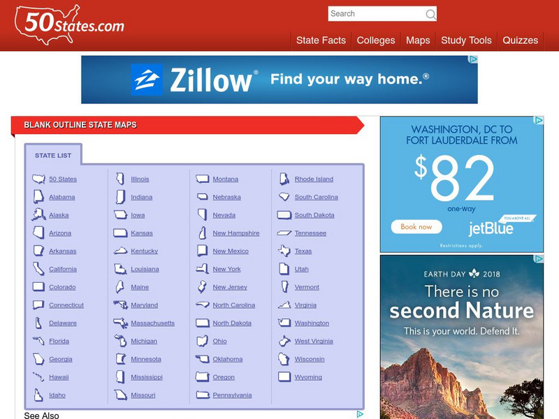
50 States
50 States: Blank Outline State Maps
All fifty states are linked here to outline maps of each. Also includes outline map of the United States.
Texas State Historical Association
Texas State Historical Association: Texas Rivers Map [Pdf]
A blank outline map showing the major rivers of Texas. A full color, labeled map of these rivers is available in the Texas Almanac, which is free to download from the main website.
Texas State Historical Association
Texas State Historical Association: Texas Counties Map [Pdf]
A blank outline map showing the many counties of Texas. A full color, labeled map of the counties is available in the Texas Almanac, which is free to download from the main website.
Other popular searches
- Blank Outline Maps Americas
- Blank Outline Maps China
- Blank Outline Maps Europe
- Ohio Blank Outline Maps


![Texas State Historical Association: Texas Rivers Map [Pdf] Graphic Texas State Historical Association: Texas Rivers Map [Pdf] Graphic](https://static.lp.lexp.cloud/images/attachment_defaults/resource/large/FPO-knovation.png)