Curated OER
World Landforms
In this blank outline map worksheet, students note the major landforms of the 7 continents of the world on a Robinson projection map.
Curated OER
World Political Map
In this blank outline map worksheet, students note the political boundaries of the nations of the world on a Mercator projection map.
Curated OER
World: Continents
In this blank outline map worksheet, students note the political boundaries of the continents of the world on a Robinson projection map.
Curated OER
Buddhism
In this Buddhism activity, students respond to 5 fill in the blank, 7 outlining, 10 short answer, 2 mapping, 5 multiple choice, 10 true or false, and 13 matching questions regarding the history of Buddhism and Buddhist beliefs.
Curated OER
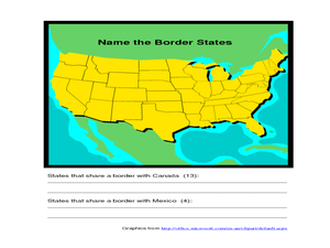
Identifying Border States of the U.S.
In this identifying border states of the U.S. worksheet, 3rd graders visually identify then write the names of the states that border Canada and Mexico; page 1 is a lesson, page 2 is the worksheet.


