Hi, what do you want to do?
Wikimedia
Wikipedia: Frederick Seymour
Although Frederick Seymour has been given the title the "forgotten governor," this site shows that his accomplishments were considerable. Many of British Columbia's most famous landmarks now bear his name.
Mount Holyoke College
Mt. Holyoke: Extent of Colonialism
A chart of statistics concerning European colonialism towards the end of the imperialist era.
Other
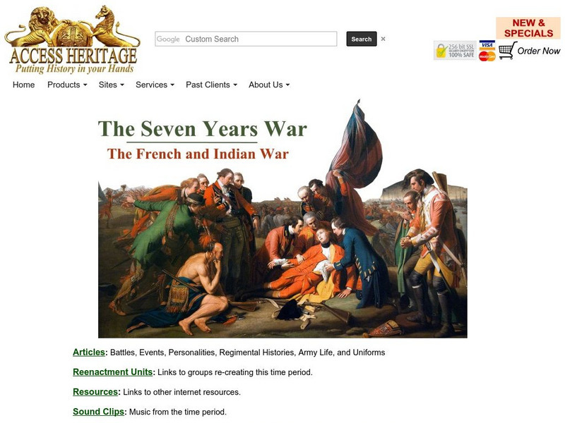
Military Heritage: The Seven Years War
This is a collection dedicated exclusively to the Seven Years War. The site offers links to articles about the war and both the French and British regiments, uniforms of the armies, and about individual battles themselves. Also provides...
Other
Conquest of New Netherland 1661 1664
A straightforward explanation of the British conquering of the Dutch settlement of New Netherland in 1664. Taken from The Encyclopedia of American History.
ClassFlow
Class Flow: Ks3 History Empire
[Free Registration/Login Required] A flipchart presenting twenty questions about specific facts relating to the growth of the British Empire, particularly in the nineteenth century.
Other
Bloorstreet.com: Royal Proclamation of October 7, 1763
Explore the British proclamation that was induced by Pontiac's Rebellion. Read the text of the Proclamation and a discussion of its effects.
Other
Philadelphia Print Shop: The French & Indian War
Read a brief history of the war with information on the British and the French. The page also includes a link to "Maps of the French & Indian War," which could be used in an elementary classroom setting. Note that this is an...
Curated OER
Etc: Maps Etc: The Thirteen Colonies at the End of the Colonial Period, 1774
A map of the British Thirteen Colonies at the end of the colonial period in 1774. The map shows the boundaries of the colonies and notes the uncolored territory east of the Mississippi and south of the Great Lakes as claimed by Georgia,...
Library of Congress
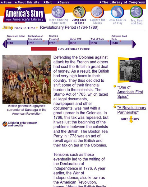
Loc: Revolutionary Period 1764 1789
This resource provides information about the Revolutionary Period in America.
Other
All the News? American Revolution & Maryland's Press
Explore this collection of digitized historical newspapers and broadsides from the 1760s about pre-Revolutionary topics. Requires Adobe Reader.
Library of Congress
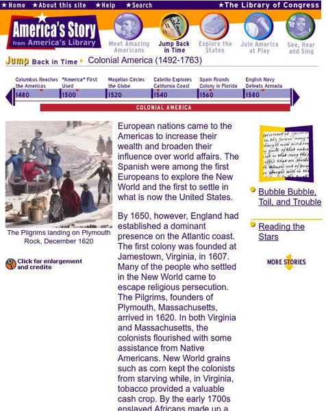
Loc: America's Story: Colonial America
This resource provides a brief overview of Colonial America.
BBC
Bbc: Story of Africa: Independence: Case Study: Kenya
This discussion of Kenya's struggle for independence looks at the political movement behind it, the Kenya African National Union.
Other
Malaya Under Attack
Good overview of Japan's invasion of Malaya focusing on the medical difficulties that occurred.
Curated OER
Partition of India in 1947
The author describes how India and Pakistan were created as a result of a division of the British colony of India and what problems and issues developed as a result of their separation.
Open Door Team
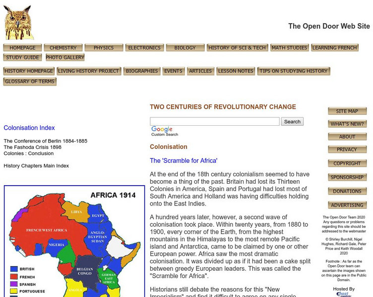
Open Door Web Site: Britain and the Scramble for Africa
Briefly describes Britain's motivations for imperializing African regions. Includes the text of a speech given by Lord Cruzon entitled, "The True Imperialism."
OpenStax
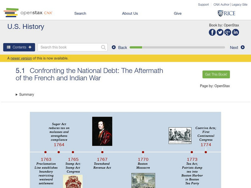
Open Stax: Confronting the National Debt: Aftermath of the French and Indian War
This section of a chapter on "Imperial Reforms and Colonial Protests" discusses the status of Great Britain's North American colonies in the years directly following the French and Indian War, describes the size and scope of the British...
Massachusetts Historical Society
Mhs: Coming of the American Revolution: Washington Takes Command of the Army
George Washington is chosen as the leader of the colonies in their fight against the British in the American Revolution and becomes commander-in-chief of the Continental Army. Evidence is supported by original documents.
University of Groningen
American History: Outlines: Colonial Indian Relations
By 1640 the British had solid colonies established along the New England coast and the Chesapeake Bay. In between were the Dutch and the tiny Swedish community. To the west were the original Americans, then called Indians.
Independence Hall Association
U.s. History: The Marquis De Lafayette
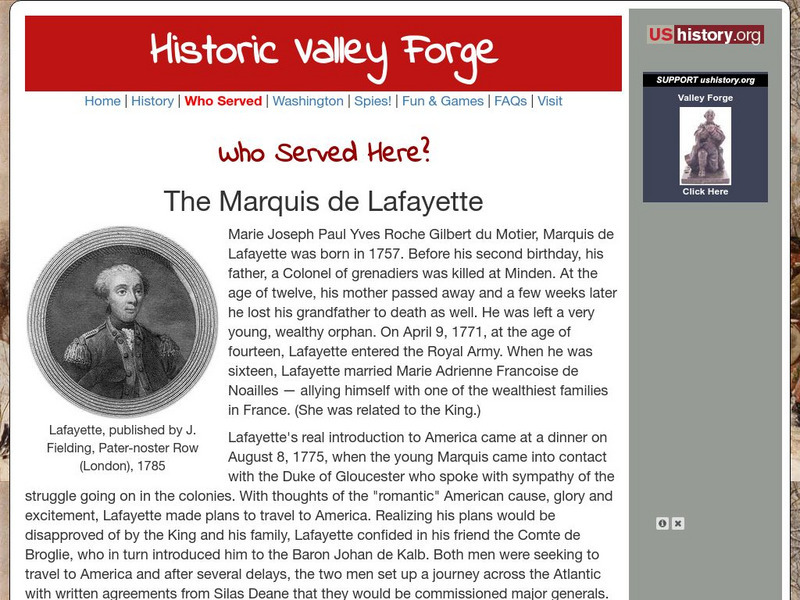
A biography of the Marquis de Lafayette, the French nobleman who came to the colonies at the age of 20 to volunteer to fight against the British in the American Revolution. This article offers an interesting look into the politics...
Curated OER
Etc: Types of Colonial Governments, 1682 1730
A series of three maps of the British colonies in North America showing the types of colonial governments between 1682, 1692, and 1730, and the shift from charter colonies electing their own governors to the colonies with councilors...
Curated OER
Etc: Native American Delimitations, 1763 1770
A map of the American colonies and territories west to the Mississippi River between the end of the French and Indian War of 1763 and the beginnings of westward expansion of the trans-Appalachian colony proposed in the Vandalia Project...
Curated OER
Etc: Maps Etc: Designation of Members to the General Stamp Act Congress, 1765
A map of the British Colonies showing the colonies participating in the Stamp Act Congress of 1765 held in Federal Hall, New York City. The map shows the number of delegates from each colony, and the colonies that refused to call...
Curated OER
Etc: Maps Etc: French Posts and Forts in Louisiana and New France, 1754
A map of North America showing the French posts and forts at the beginning of the French and Indian War (1754) between the French and the British. The map is color-coded to show the territorial claims of the British, French, and Spanish...
Curated OER
Educational Technology Clearinghouse: Maps Etc: First Continental Congress, 1774
A map of the British Colonies showing the colonies participating in the First Continental Congress of 1774 held in Philadelphia. The map shows the number of delegates from each of the twelve colonies that participated (the Province of...
Other popular searches
- British Colonies in Canada
- 13 British Colonies
- New England British Colonies
- Early British Colonies
- British Colonies Self Rule
- Migrating British Colonies
- French and British Colonies
- Non British Colonies
- Earlly British Colonies
- The 13 British Colonies
- Non British Colonies


