Curated OER
National Park Service: Alcatraz Island
Follow links to learn about Alcatraz Island as a lighthouse, a federal prison, a part of American Indian history, and a natural habitat.
Countries and Their Cultures
Countries and Their Cultures: Pomo
"Pomo" refers to a family of seven California Indian languages and their speakers. Explore topics such as their history, economy, cultural values, religion, and sociopolitical organization.
Curated OER
Educational Technology Clearinghouse: Maps Etc: Southern California, 1920
A map of Southern California from 1920 showing the major cities and towns, railroads, National Park boundaries, National Forest boundaries, Indian reservation boundaries, mountain systems, lakes, rivers, and coastal features.
Curated OER
Educational Technology Clearinghouse: Maps Etc: Southern California, 1911
A map of Southern California from 1911 showing the major cities and towns, railroads, National Park boundaries, National Forest boundaries, Indian reservation boundaries, mountain systems, lakes, rivers, and coastal features. A grid...
Curated OER
Educational Technology Clearinghouse: Maps Etc: California (Southern), 1920
A map of Southern California from 1920 showing the counties and county seats, major cities and towns, railroads, National Park boundaries, National Forest boundaries, Indian reservation boundaries, mountain systems, lakes, rivers, and...
Curated OER
Etc: Maps Etc: Northern and Central California, 1920
A map of Northern and Central California from 1920 showing the State capital of Sacramento, counties and county seats, major cities and towns, railroads, National Park boundaries, National Forest boundaries, Indian reservation...
Curated OER
Etc: Maps Etc: Northern and Central California, 1911
A map of Northern and Central California from 1911 showing the State capital of Sacramento, counties and county seats, major cities and towns, railroads, National Park boundaries, National Forest boundaries, Indian reservation...
Curated OER
Etc: Maps Etc: California (Northern and Central), 1920
A map of Northern and Central California from 1920 showing the State capital of Sacramento, counties and county seats, major cities and towns, railroads, National Park boundaries, National Forest boundaries, Indian reservation...
Curated OER
Educational Technology Clearinghouse: Maps Etc: California, 1914
A map of California from 1914 showing the State capital of Sacramento, counties and county seats, major cities and towns, Indian reservations, railroads, mountain systems, lakes, rivers, and coastal features. An inset map shows the...
Curated OER
Wikipedia: National Historic Landmarks in California: Gunther Island Site 67
An archaeological site surrounding a Wiyot shell midden, located in Tolowot, on Indian Island in Humboldt Bay near Eureka, California. This site helped define the Gunther Pattern in archaeology and was also the site of the 1860 Wiyot...
Curated OER
Wikipedia: National Historic Landmarks in California: Coso Rock Art District
Over 20,000 Indian petroglyphs are located in this NHLD, which also incorporates two earlier NHLs Big and Little Petroglyph Canyons. The site is located within Naval Air Weapons Station China Lake.
Curated OER
Wikipedia: National Historic Landmarks in California: Borax Lake Site
The archaeological type site of the unique Paleo-Indian Clovis people known as the Post Pattern. This site extended their known range and introduced an unusual lake shore dwelling population.
Curated OER
Perry Castaneda Map Collection: Map of Early Indian Tribes in the Western u.s.
Map showing the Native American culture areas and the tribes within those cultures in western North America. From the Perry Castaneda collection.
Other
Native American Documents Project
This scholarly project from California State University analyzes the effect of the Dawes Act, or General Allotment Act, which divided Indian lands into individual holdings to promote assimilation by deliberately destroying tribal...
Other
Huffington Post: Meet Kamala Harris, Who Could Become the First Woman President
On November 8, 2016, Kamala Harris became the first Indian-American and the second African-American woman elected to the United States Senate. Harris is currently the Attorney General in California.
Other
Miwok Archeological Preserve of Marin
Looking for information on the Coast Miwok, look no further. The Miwok Archeological Preserve of Marin offers this resource.
Curated OER
Camp Internet: Miwok Internet Dig
Peruse this excellent classroom resource to enhance learning the history of the Miwok Indian tribe in California.
Library of Congress
Loc: Teachers: Journeys West
A series of lessons utilizing primary texts, including narratives, photographs, and maps, through which students explore the following question: "What motivated thousands of people to journey west during the 1800s?"
Other
Sierra Mono Museum
Sierra Mono Museum presents a colorful resource to gain insight into the North Folk Mono Indian history.
Smithsonian Institution
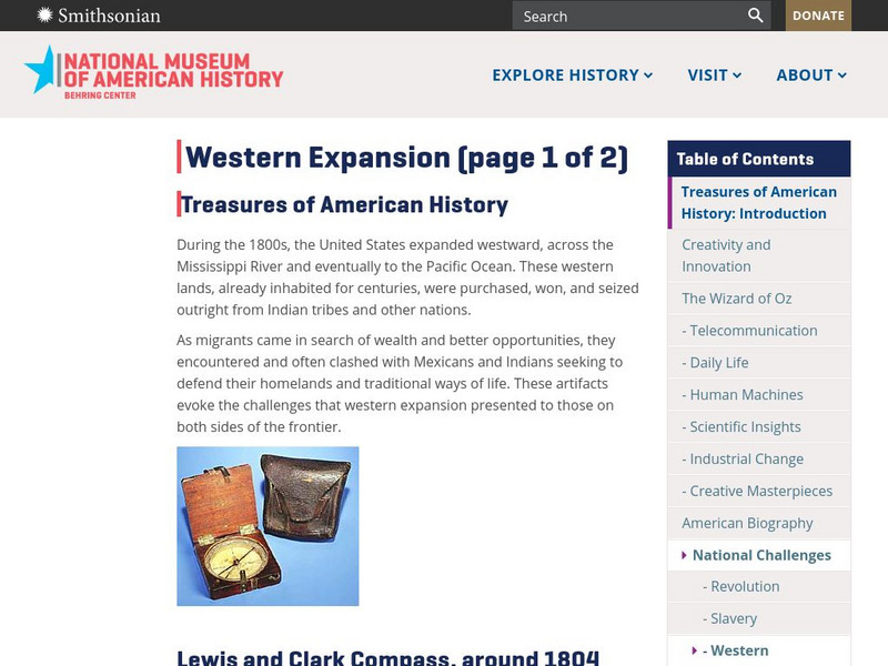
National Museum of American History: Treasures of Am. History: Western Expansion
Shown are images and descriptions of artifacts that express the challenges that the migrants, Mexicans, and Indians shared in their quest for westward expansion in the United States during the 1800s.
University of California
Hearst Museum: Native Californian Cultures
An exhibition of Native Californian Cultures showcases food, clothing, tools, ceremonies, musical instruments, games, and other aspects of various tribes.
Sacred Text Archive
Internet Sacred Text Archive: Hupa Texts
This is an extremely interesting site in that it consists of myths from the Hupa as told at the turn of the century.
Curated OER
Educational Technology Clearinghouse: Maps Etc: Portus Novae Albionis, 1602
A facsimile of a portion of an early outline sketch of Drake's Bay (1602). The map is keyed to show: (1) A group of Indian houses; (2) Place of the ship; (3) Portus Novae Albionis; and (4) A group of the English conferring with the...


