Hi, what do you want to do?
Other
Historic Trails: Oregon/california Trails
Find a map of the Oregon Trail and California Trail and click Historical Trails tab to discover the hardships and daily grind of traveling on the Oregon Trail.
Curated OER
National Park Service: California National Historic Trail
This site from the National Parks Service gives a brief history, and description of the California trail system which was used by settlers moving to California during the 1849 Gold Rush days.
Other
Everytrail: Trail Map of San Andreas Fault Trail Exploration
Use this map on the San Andreas Fault by following lines of posts that mark the various fault breaks in the Los Trancos Open Space Preserve. The trail takes hikers to see some of the effects of earthquakes in this otherwise tranquil...
University of Richmond
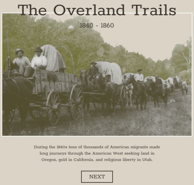
American Panorama: The Overland Trails 1840 1860
Interactive map highlights the emigrations of men and women over the Oregon, California, and Mormon Trails in the 1840s and 50s. Also features a timeline of migration, diary entries from individual migrants, and a flow map showing how...
Library of Congress
Loc: Nation Expansion and Reform: Traveling on the Overland Trails, 1843 1860
Primary source information about traveling the Overland Trails, both to Oregon Country and California.
Library of Congress
Loc: Teachers: Journeys West
A series of lessons utilizing primary texts, including narratives, photographs, and maps, through which students explore the following question: "What motivated thousands of people to journey west during the 1800s?"
Curated OER
Educational Technology Clearinghouse: Maps Etc: Trade and Migration, 1840 1850
A map of the United States showing the principal trade and westward migration routes between 1840 and 1850. The map shows state and territory boundaries at the time, major cities, ports, outposts, forts, and settlements, rivers, mountain...
Curated OER
Etc: Santa Fe and Oregon Trails to the Pacific Coast, 1840 1850
A map of the western United States in 1840-1850 showing the Oregon Trail and Santa Fe, the two principal overland routes from Independence, Missouri, to the western territories and the Pacific. The map shows the territory boundaries,...
Curated OER
Etc: Principal Routes of Trade and Migration, 1840 1850
A map of the United States between 1840 and 1850 showing the states and territories, and the principal routes of transportation and westward migration during the period. The map shows frontier forts, outposts, and settlements, the...
Curated OER
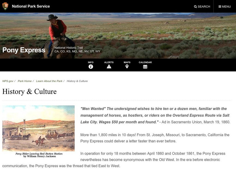
National Park Service: Pony Express: History and Culture
A good article from the National Park Service which recounts the history of the brief existence of the Pony Express. Read about the route, what caused the demise of the Pony Express, and what part of the trail can still be seen.


