Other
Wwf: Conservation Programs ~ Mackenzie Valley
The Mackenzie Valley,in the Canada's Northwest Territories, is under the protection of WWF-Canada's Mackenzie River Basin Conservation Program. The program aims to protect habitats & ecosystems within the watershed, and to make sure...
McGill University
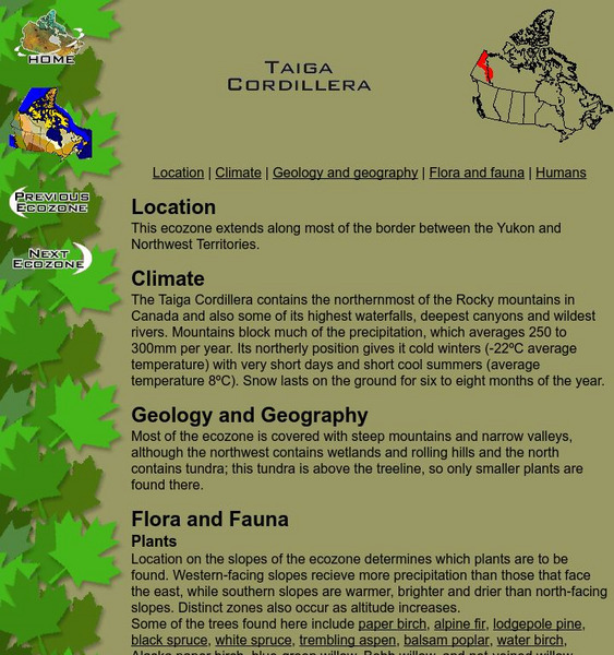
Mc Gill University: Canadian Biodiversity: Ecozones: Taiga Cordillera
The Taiga Cordillera extends along the border of the Yukon and Northwest Territories. This is a brief, concise description of the location, climate, geology and flora and fauna. It includes a collection of images of the landscape as well...
Other
The Road to Nunavut
This web page sources the creation of Nunavut to the land claims made by aboriginals as it traces the evolution of people and communities in the Northwest Territories. The ultimate establishment of Nunavut is accounted for by the...
Curated OER
Clip Art by Phillip Martin: Northwest Territories
A clipart illustration by Phillip Martin titled "Northwest Territories."
McGill University
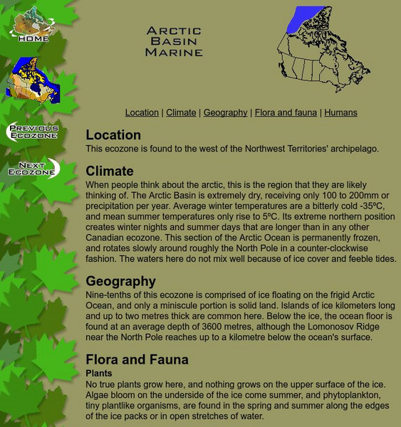
Mc Gill University: Canadian Biodiversity: Ecozones: Arctic Basin Marine
The Arctic Basin Marine ecozone is found to the west of the Northwest Territories archipelago. This brief, concise description includes a collection of images of the animals and birds native to the location. Many of the images include...
Orca Book Publishers
Orca Book Publishers: Flight From Bear Canyon Teaching Guide [Pdf]
Flight From Bear Canyon, an adventure novel written by Anita Daher, is set in the Nahanni River Valley of Canada's Northwest Territories. It tells the story of a young girl's experience as she flies a plane and helps to save the life of...
McGill University
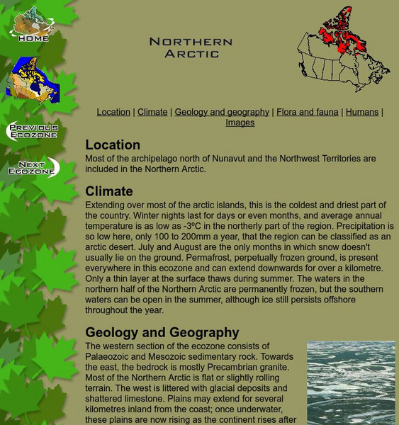
Mc Gill University: Canadian Biodiversity: Ecozones: Northern Arctic
A brief, concise description of the chain of islands that form most of the archipelago north of Nunavut and the Northwest Territories. It includes an excellent collection of images of the landscape as well as those of animals and birds...
McGill University
Mc Gill University: Canadian Biodiversity: Ecozones: Southern Arctic
A brief, concise description of the Southern Arctic ecozone which extends across the northern edge of the continental Northwest Territories and Quebec. It includes a collection of images of the landscape as well as those of animals and...
McGill University
Mc Gill University: Canadian Biodiversity: Ecozones: Taiga Plains
The Taiga Plans are centered around the Mackenzie River in the western Northwest Territories. This is a brief, concise description of the location, climate, geology and flora and fauna. It includes a collection of images of the landscape...
McGill University
Mc Gill University: Canadian Biodiversity: Ecozones: Arctic Archipelago Marine
The Arctic Archipelago Marine ecozone includes Hudson Bay and most of the water surrounding the islands of Nunavut and the Northwest Territories. This is a brief, concise description of the location, climate, geology, and flora and...
Curated OER
Etc: Maps Etc: British Columbia, Alberta, and Saskatchewan, 1911
A map from 1911 of British Columbia, Alberta, Saskatchewan, and the southern portions of Yukon and the Northwest Territories. The map shows the provincial capitals of Victoria, Edmonton, and Regina, and territorial capital of White Horse...
Curated OER
Educational Technology Clearinghouse: Maps Etc: The United States, 1800
A map of the United States in 1800 showing the territorial claims of the states at the time, the British and French possessions, and territory disputes. The map shows the frontier lines or extent of settlement from the coast of Maine to...
Curated OER
Educational Technology Clearinghouse: Maps Etc: The Early United States, 1790
A map of the United States in 1790 showing the territorial claims of the states at the time, and the British and Spanish possessions and territory disputes. The map shows the frontier lines or extent of settlement from the coast of Maine...
Curated OER
Educational Technology Clearinghouse: Maps Etc: The United States, 1800
A map of the United States in 1800 showing the original thirteen states with the additions of Vermont (1791), Kentucky (1792), and Tennessee (1796), the State claims to western lands by South Carolina and Georgia, the extent of the...
Curated OER
Etc: Expansion of the United States, 1783 1853
A map from 1912 of the United States showing the territorial acquisitions up to the Gadsden Purchase in northern Mexico in 1853. The map is color-coded to show the territory of the original United States and the Northwest Territory...
Curated OER
Educational Technology Clearinghouse: Maps Etc: North America, 1888
A map from 1888 of North America, Central America, and Caribbean showing national boundaries at the time, major cities, mountain systems, rivers, and coastal features. The province boundaries of the Dominion of Canada are shown,...
Curated OER
The Road to Nunavut
This web page sources the creation of Nunavut to the land claims made by aboriginals as it traces the evolution of people and communities in the Northwest Territories. The ultimate establishment of Nunavut is accounted for by the...
Curated OER
The Road to Nunavut
This web page sources the creation of Nunavut to the land claims made by aboriginals as it traces the evolution of people and communities in the Northwest Territories. The ultimate establishment of Nunavut is accounted for by the...
Curated OER
Educational Technology Clearinghouse: Maps Etc: Division of the West, 1782
A map of the United States and the division of the West as proposed by France, on September 6th, 1782. The map is color-coded to show the United States at the time, the Indian Reserves south of the Ohio River under the protection of the...
Curated OER
Educational Technology Clearinghouse: Maps Etc: North America, 1783
A map of North America, Central America, and northern South America at the end of the American Revolutionary War (1783). The map is color-coded to show the territory of the United States at the time, British possessions in Canada,...
Curated OER
Educational Technology Clearinghouse: Maps Etc: The War of 1812, 1812 1814
A series of maps showing the principal regions, campaigns, forts, and battle sites of the War of 1812, including: the northern seat of war in southern Canada, New York, Pennsylvania, Ohio, and the Michigan Territory; the vicinity of...


