Curated OER
Blog Your Truth
Students explore communication by participating in a digital journalism activity. In this aboriginal research instructional activity, students view a sample blog on the Internet and identify the techniques behind blogging and Internet...
Curated OER
CLIL: A Lesson Plan
Students explore Vancouver. In this Vancouver geography and English language building lesson, students brainstorm what they know about Vancouver and predict what their text will cover. Students listen to the informational content of...
Curated OER
Why the Y2Y?
Students investigate the proposed route from Yellowstone to Yukon. They listen to lectures about the proposal and the different opinions concerning it. Students research the type of wildlife in the area for the road and they consider how...
Curated OER
What Is a Primary-Source Document?
Students discover what a primary-source document is, what different types there were back in 1867, and what newer kinds there are today. They play a form of bingo using printed cards that reproduce documents related to Confederation.
Curated OER
Math Hunt: Extreme Weather
Young scholars investigate integrals. In this math lesson plan, students relate real world situation to investing. They may visit a local business to do this assignment.
Curated OER
Learning Strategies
Students develop critical thinking skills using questions exploring the Canadian Parliamentary system. The duties of a modern democracy are investigated.
Curated OER
New Ship For the Old World
Students explore the age of sailing in the colonies through role-playing. In groups, they play the role of a business owner, shipbuilder and geographer to complete specific tasks. They participate in an old World trade show to...
Curated OER
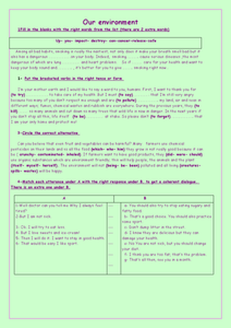
"Our Environment"
In this environment worksheet, students access a website to answer questions about the landscape and biogeoclimate of British Columbia. This worksheet has 6 short answer questions.
Other
Discover Canada Through National Maps and Facts: Relief
Links to all of Canada's provinces and territories relief maps. Maps can be viewed as a picture or as a .pdf file. Be sure to check out the links to lesson plans as well as the many other types of maps.
Other
Canadian Tourism Commission: Maps canada.travel
This interactive map is an excellent student and teacher resource. Select Places to Go to show regions, provinces or territories and capital cities. Hover over the area to get links to more detailed information. Get up to the minute...
University of Texas at Austin
University of Texas: Perry Castaneda Library: Canada Maps
The University of Texas at Austin provides an extensive collection of maps relating to Canada. Links are given for maps of Canada on many other web sites.
Lizard Point Quizzes
Lizard Point: Test Your Geography Knowledge Canada
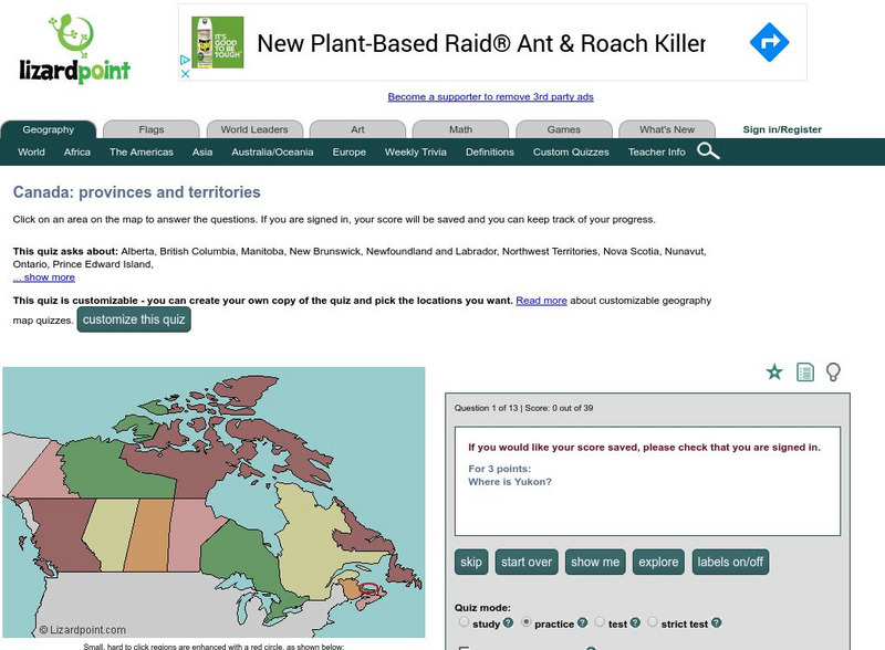
Use this site to test your students, and your knowledge regarding the location of the provinces and territories of Canada.
Houghton Mifflin Harcourt
Holt, Rinehart and Winston: World Atlas: Canada
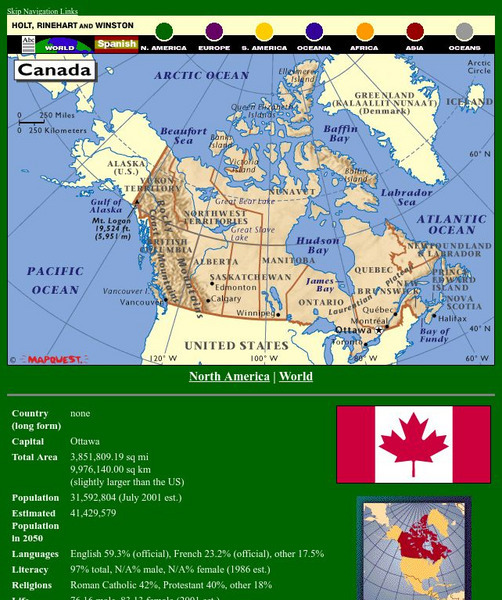
A detailed map showing the provinces and territories of Canada. You can enlarge the details by clicking on any area or name on the map.
Lizard Point Quizzes
Lizard Point: Canada: Provincial Capitals Quiz
Try this interactive geography quiz which tests your knowledge about the provincial capitals of Canada.
Other
Office of the Prime Minister: Capital Scramble
Drag the provinces and territories to their locations on the map of Canada in this interactive game. Then unscramble the letters to identify the capital cities of each of the provinces. A paper pencil version may be printed.
Other
Bird Life International: Bird Links to the World: Canada
There is a wealth of Canadian bird study links on this site. This page has general links for Canada. Clicking on each province or territory on a map takes you to links specific to that area.
Other
Province of Manitoba Canada
By following the links on the Government of Manitoba's homepage, students can learn about the government, history and heritage, climate, and geography of Manitoba, as well as current initiatives and issues facing Manitobians.
National Council of Teachers of Mathematics
Nctm: Illuminations: Canada Data Map
Information can be represented in many ways, and this application allows the user to represent data about the provinces and territories using colors.
Curated OER
Etc: Maps Etc: Southeastern British Provinces, 1888
A map from 1888 of the southeastern provinces of British America (Dominion of Canada). The map shows the province boundaries of Keewatin to the west of Hudson Bay, North East Territory to the east of Hudson Bay, the eastern part of...
Other
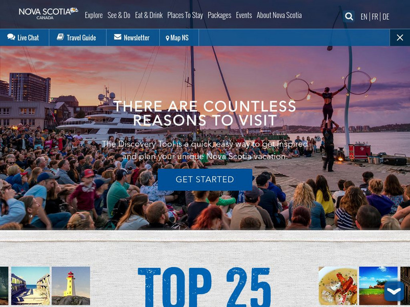
This Is Nova Scotia
This is the home of Nova Scotia's Official Tourism Website. Find much useful information about this beautiful Canadian province including learning about its history, culture, music, climate, and geography. Capture its charm while viewing...
Curated OER
Map of Canada With Outlined Provinces Territories
Explore all of the provinces and territories in Canada on interactive maps. Get a general overview of the province or select a region to get a more detailed description. Each province is has a photo gallery containing beautiful pictures...
Curated OER
Etc: Maps Etc: Maritime Provinces of Canada, 1914
A map from 1914 of the Maritime Provinces of Canada, including New Brunswick, Nova Scotia, and Prince Edward Island. The map shows the county divisions, provincial capitals of Fredericton (New Brunswick), Halifax (Nova Scotia), and...
Curated OER
Etc: Maps Etc: The Maritime Provinces of Canada, 1920
A map from 1920 of the Maritime Provinces of Canada, including New Brunswick, Nova Scotia, and Prince Edward Island. The map shows the county divisions and capitals, the provincial capitals of Fredericton (New Brunswick), Halifax (Nova...
Curated OER
Etc: Maps Etc: Maritime Provinces of Canada, 1920
A map from 1920 of the Canadian Maritime Provinces of New Brunswick, Nova Scotia, and Prince Edward Island, with an inset map of Newfoundland. The map shows the county boundaries within the provinces, the provincial capitals of...


