Hi, what do you want to do?
Curated OER
The Turks, Istanbul, & Constantinople
In this "The Turks, Istanbul, and Constantinople" history study guide worksheet, students read a brief overview pertaining to the topic and then respond to 3 reflection questions.
Curated OER
The United States and Canada Review Worksheet and Study Guide
In this geography skills activity, students respond to 34 short answer questions about the geographic features and climates found in the United States and Canada.
Curated OER
Third Grade Social Studies Quiz
In this social studies worksheet, 3rd graders complete multiple choice questions about communities, maps, distances, and more. Students complete 11 questions.
Curated OER
3rd Grade Social Studies Core Skills (Reference Books)
In this reference materials worksheet, students complete the 20 multiple choice questions pertaining to the correct book needed to find the answer in each situation. Included are dictionary, atlas, encyclopedias, newspapers and maps.
Curated OER
Breaking News English: Iraq
In this Iraq worksheet, students read the article, answer true and false questions, complete synonym matching, complete phrase matching, complete a gap fill, answer short answer questions, answer discussion questions, write, and more...
Curated OER
Geography Quiz 18
In this geography activity, students answer short answer questions about the geography all over the world. Students complete 10 short answer questions.
Curated OER
Inca's Untangles World
Students read a reprinted article from USA Today. In this metacognition lesson, students complete a worksheet about their thoughts while they are reading.
Curated OER
Planning a Railroad
Young scholars use a topographical map to plan a route from Doknner Summit to Truckee, then compare it to the route selected by Theodore Judah.
Curated OER
Famous Hoosiers
Fourth graders make a timeline about a famous person from Indiana. In this famous Hoosiers lesson, 4th graders watch a PowerPoint presentation about David Letterman's life. They make a timeline using information from the presentation on...
Curated OER
Canada's Climate: Temperature and Rainfall Variations
Students analyze data about various climates in Canada. In this data analysis and climate instructional activity, students use Canada Year Book 1999 to complete a worksheet and make connections between precipitation and temperature in...
A&E Television
History.com: The States
Learn unique facts about each American state. You can also read a more in-depth history of each state, watch videos and play a game about all the states.
Teacher Oz
Teacher Oz: 50 States of the u.s.a.
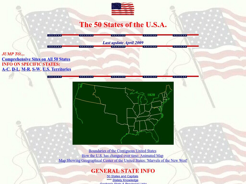
A site with information such as maps, flags and songs of each of the 50 states in the US.
Alabama Learning Exchange
Alex: Alabama's Five Capitals and First Governors
Students will research the five sites of Alabama's capital and the first governors of the state. They will create a presentation including the physical location of each site and the political and geographic reasons the site was chosen...
Alabama Learning Exchange
Alex: Montgomery Field Trip Tour Book
During this lesson, students explore the functions of our government through the Internet, slideshow presentations, and by visiting Alabama's capital city of Montgomery. Students will use their field trip as a guide to create a tour book...
Lizard Point Quizzes
Lizard Point: u.s.a.: State Capitals Quiz
Test your geography knowledge by taking this interactive quiz over the state capitals of the United States.
Lizard Point Quizzes
Lizard Point: Western Usa: State Capitals Quiz
Test your geography knowledge by taking this interactive quiz over the state capitals of the western United States.
Curated OER
Looking Out Over the Rooftops of Tecucigalpa
An overview of the capital city of Honduras, Tegucigalpa. Click on 'photos' for a great slide show, 'weather' for a monthly temperature chart, and 'map' for an interactive map.
Khan Academy
Khan Academy: Templo Mayor at Tenochtitlan, Coyolxauhqui Stone and Olmec Mask
The Templo Mayor was positioned at the center of the Mexica capital and thus the entire empire. The temple contained many Mexica (Aztec) artifacts and gives us a glimpse into their rituals and beliefs. View pictures and read about the...
Curated OER
Etc: Maps Etc: Political Acquistitions of the United States, 1911
A map from 1911 of the United States showing the territorial acquisitions from the original States and Northwest Territory in 1783 to the Gadsden Purchase south of the Gila River in 1853. The map shows state capitals and major cities,...
Ducksters
Ducksters: United States Geography for Kids: New Hampshire
Kids learn facts and geography about the state of New Hampshire including symbols, flag, capital, bodies of water, industry, borders, population, fun facts, GDP, famous people, and major cities.
Curated OER
Etc: Theatre of War in the United States, 1861 1865
A map showing the extent of the Confederate territories east of the Mississippi River during the American Civil War (1861-1865). The map shows state lines and capitals, major cities, forts, battle sites, and rivers in the region. The map...
Curated OER
Educational Technology Clearinghouse: Maps Etc: United States, 1917
A map of the United States and territories showing the expansion from the formation of the original states to the purchase of the Danish West Indies (Virgin Islands) in 1917. The map is color-coded to show the original states, the states...
Curated OER
Educational Technology Clearinghouse: Maps Etc: The United States, 1859
A map from 1859 of the United States showing State and territory boundaries at the time, capitals and major cities, mountain systems, plains, lakes, rivers, and coastal features of the area.
Curated OER
Etc: Maps Etc: The United States Population and Railroad Network, 1901
A map from 1901 of the United States showing population density, railroad lines, state capitals, and census centers of population at the time. The red figures indicate the mean population density per square mile for each state according...


