Parkwood Hill Intermediate
Map Skills Project
Young pupils develop their mapping skills and knowledge by designing their own islands, using geographic terms and physical features they have learned as features of their work.
Curated OER
Cartography Project
A lesson involving mapping, the use of a compass, writing and following directions, and exploring the first two themes of geography is here for you. Learners create original maps that show the routes they take through their own...
Computer Science Unplugged
The Poor Cartographer—Graph Coloring
Color the town red. Demonstrate the concept of graph theory with a task that involves determining the least number of colors needed to color a map so that neighboring countries are not represented by the same color. Pupils...
National Geographic
National Geographic: Reading a Resource Map
Students will study maps to recognize where natural resources are found through exercises provided.
Rice University
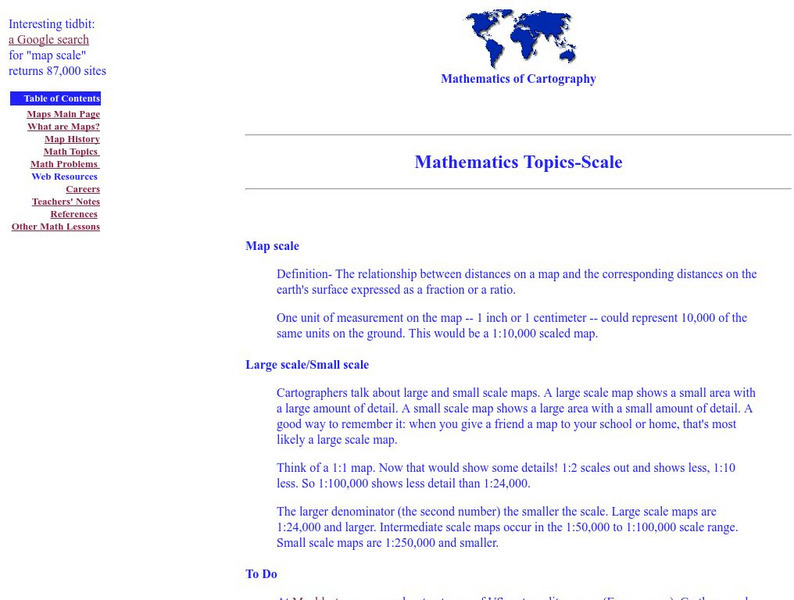
Rice University: Cynthia Lanius: Mathematics of Cartography: Scale
Definition of map scale with related cartography links and activity at Mapblast in which students create maps of their own and determine distance and scale.
Rice University
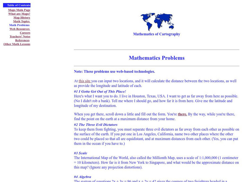
Rice Univ.: Cynthia Lanius: Mathematics of Cartography: Mathematics Problems
Web-based cartography exercises based on the online "How far is it" distance caclulator.
Other
Stadtplan: Frankfurt Am Main
Stadtplan.net provides a zoomable map of Frankfurt, as well as maps of the state of Hessen (Hesse) and Deutschland. In addition to the local map of streets, there is other city info, including links to events such as rock and other...
Other
Valparaiso University: Carl Ritter
This site from the Valparaiso University provides information on Carl Ritter and Alexander von Humboldt, two famous geographers.


