Hi, what do you want to do?
Other
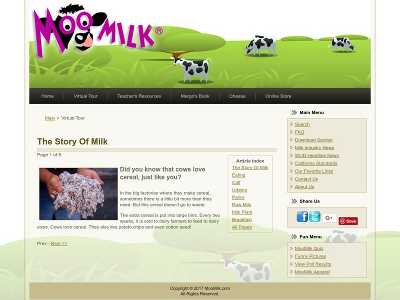
Moo milk.com: The Story of Milk
Take this virtual tour to discover where the milk that you drink comes from. Find out how milk gets from the cow to your cereal bowl.
Other
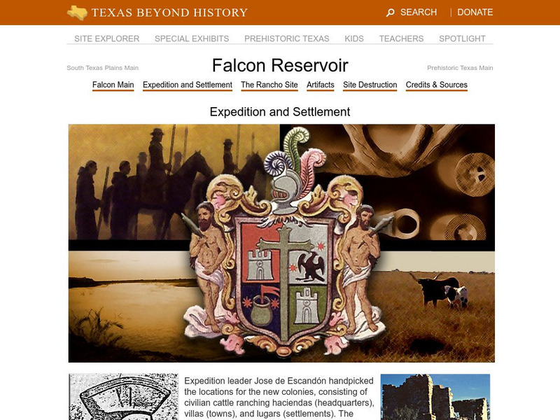
Texas Beyond History: Falcon Reservoir: Expedition and Settlement
Dive into the history of the Texas establishment, and trace the Falcon Reservoir's settlement, with a detailed look at the Leal rancho and the information recovered from archeological investigations.
Careers New Zealand
Kiwi Careers: Livestock Agent
This site provides good beginning information about the job, but with the understanding that the specific information such as salary, etc., is from New Zealand. Use the navigation bar on the left to see more information.
A-Z Animals
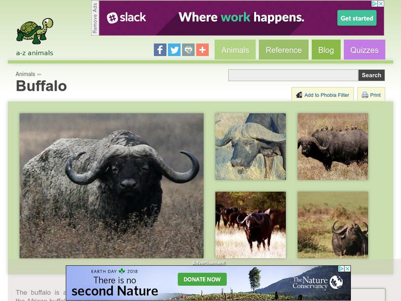
A Z Animals: Animal Facts: Buffalo (Syncerus Caffer)
Offers images, statistics, and an overview of the Buffalo's habitat, diet, behaviour, and physical characteristics.
Library of Congress
Loc: America's Story: Nebraska
Why is Nebraska named the "Cornhusker State?" Use this site to find out about Buffalo Bill Cody and explore the many sides to Nebraska culture.
Smithsonian Institution
National Museum of Natural History: Muskox
This site takes a very brief look at the muskox as an arctic creature. Several photographs are also provided.
Other
Ag Web: Agricultural Information, Tools, and Service
AgWeb.com provides the latest news in agriculture, as well as weather and market information, helpful agricultural tools, and more.
Other
Kids, Cows & More: Texas Agriculture
A quick-reference page with facts and figures about one of Texas' leading industries: agriculture.
Texas State Historical Association
Texas State Historical Association: Almanac: Ranching in a Changing Land
Read how the traditional Texas professions of ranching and farming have changed throughout the history of Texas.
Texas State Historical Association
Texas State Historical Association: Texas Almanac: State of Texas Agriculture
Find out about the changes in Texas state agricultural industry over the past fifty years.
Denver Zoo
Denver Zoo: Cape Buffalo
The Denver Zoo features a comprehensive overview of the cape buffalo focusing on its habitat, range, adaptations, diet, physical characteristics, and more.
ArtLex
Art Lex: Pastoral Art
This website describes a specific type of landscape, the pastoral. Includes several examples of pastoral scenes and links to further information on the individual pieces of artwork.
Canis Major Publications
Dog Owner's Guide: Breed Profiles
Articles about many different dog breeds. Each gives an in-depth look at its characteristics, temperament and such. Great resource!
Other
Hermes: Herald of the Immortals
The Olympians depended on Hermes (Roman name "Mercury") to bring them all sorts of news. Learn about his role at this site, which includes a listing of all the times Hermes is mentioned in the Iliad and the Odyssey.
Able Media
Classics Technology Center: Life and Labors of Hercules
Lesson plan created for eighth-grade students with no Latin language background to learn about Hercules and his twelve labors. Includes handouts and examples of student work, as well as ways to add Latin to the project.
Smithsonian Institution
Smithsonian American Art Museum: Frederic Remington
As part of the Smithsonian Art Museum's database of artists, this site provides biographical information on Frederic Remington in addition to an extensive listing of his works as displayed at the museum.
Bagheera
Bagheera: Tropical Rain Forests
This site explores the value and diversity of tropical rain forests. Learn about the rate of decline of these natural wonders, the causes of deforestation, and more.
Merriam-Webster
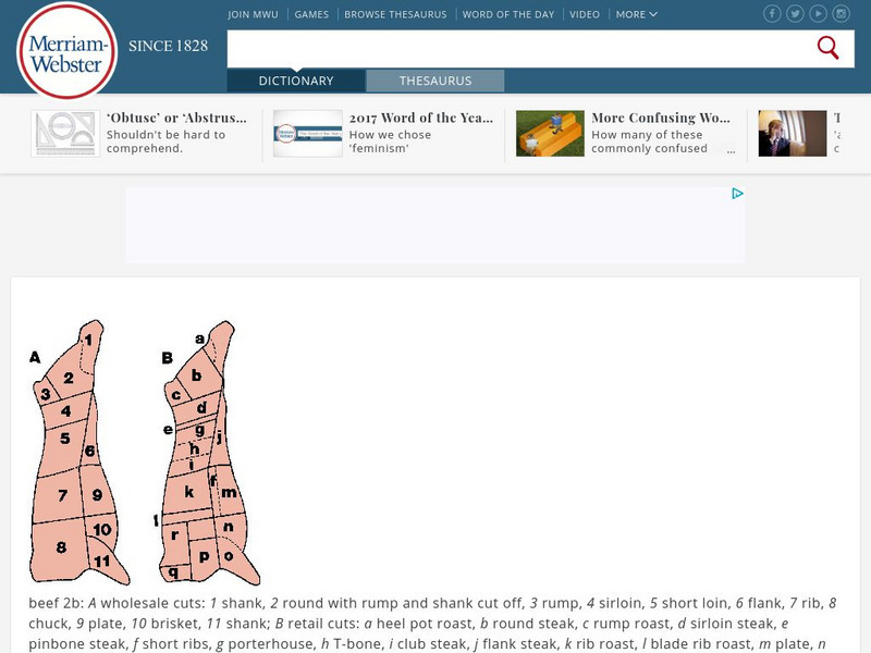
Merriam Webster: Dictionary Illustration: Beef
Labeled diagram showing where different cuts of beef come from on a cow.
Siteseen
Siteseen: American Historama: Cowboys of the Old West
Interesting facts and an overview of the life of the cowboys of the Old West between 1865 and 1885.
Curated OER
Wikipedia: National Historic Landmarks in Montana: Grant Kohrs Ranch
John Grant[disambiguation needed], the original owner of the ranch, from 1853, is sometimes credited with founding the range-cattle industry in Montana. Conrad Kohrs, who bought the ranch c.1866, was among the foremost "cattle kings" of...
PBS
Pbs the West: Joseph Farwell Glidden
Information about the Illinois farmer who improved fencing the plains that led to the demise of open-range cattle ranching. Glidden is credited with the invention of barbed wire.
Curated OER
Educational Technology Clearinghouse: Maps Etc: Economic Map of Africa, 1915
A map from 1915 of Africa and Madagascar showing the principal economic products of the area. The map is keyed to show areas of production for rubber, gum arabic, dates, cotton, gold, ivory, and cattle breeding. Other products are named...
Curated OER
Etc: Maps Etc: Economic Map of Southern Africa, 1915
A map from 1915 of southern Africa showing main economic products, principal cities, ports, railways, mountains, rivers, and coastal features throughout the region. The map is keyed to show the areas of wine, wool, cattle, and ostrich...
Curated OER
Etc: Maps Etc: Physical and Political Map of Africa, 1879
Map of pre-colonial Africa, showing the predominately native countries and territories of the African continent in 1879. The counties include the Barbary States of Morocco, Algeria, Tunis, Tripoli and Fezzan, the Egyptian territories of...
Other popular searches
- Beef Cattle
- Cattle Industry
- Cattle Drives
- Cattle Products
- Cattle Trails
- Cattle Brands
- Dairy Cattle
- Branding Cattle
- Cattle Drive
- Cattle Breeds
- Cattle Kingdom
- Beef Cattle Breeds


