Read Works
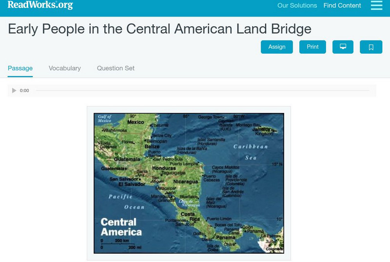
Read Works: Early People in Central American Land Bridge
[Free Registration/Login Required] An informational text introducing the history of the Central American land bridge. A question sheet is available to help students build skills in reading comprehension.
US Army Center
U.s. Army Center of Military History: Defense of the Americas 7 December 1941 2 September 1945
This brochure from the Army's Center of Military History gives an extensive account of the little-reported on American theater of World War II. Read about the preparations for hemispheric defense, the few breaches of the defense, and the...
Other
Owl and Mouse: Map of Central America and the Caribbean
With this interactive map of Central America and the Caribbean, students point the mouse to different countries on the map and see the name of the country and the capital city.
InterKnowledge Corp.
Geographia: Latin America
This Geography portal to Latin America features maps, photos, and drawings relating to each country. Click on desired country icon to see related pages.
Other
Brooklyn Expedition: Latin America
Excellent site about Latin America from the Brooklyn Children's Museum. Explore ancient beliefs and rituals, celebrations, culture, the land, animals, and the history of Latin America.
Wikimedia
Wikipedia: Latin America
Article on Latin America that provides a great overview of the region. Discussions include history, religion, culture, links to information about each of the countries, and more.
Library of Congress
Loc: The Cultures and Histories of the Americas
An online exhibit of a vast array of documents, artifacts, and maps detailing cultures in the Americas including the indigenous groups as well as Europeans after contact. From the Library of Congress.
Scholastic
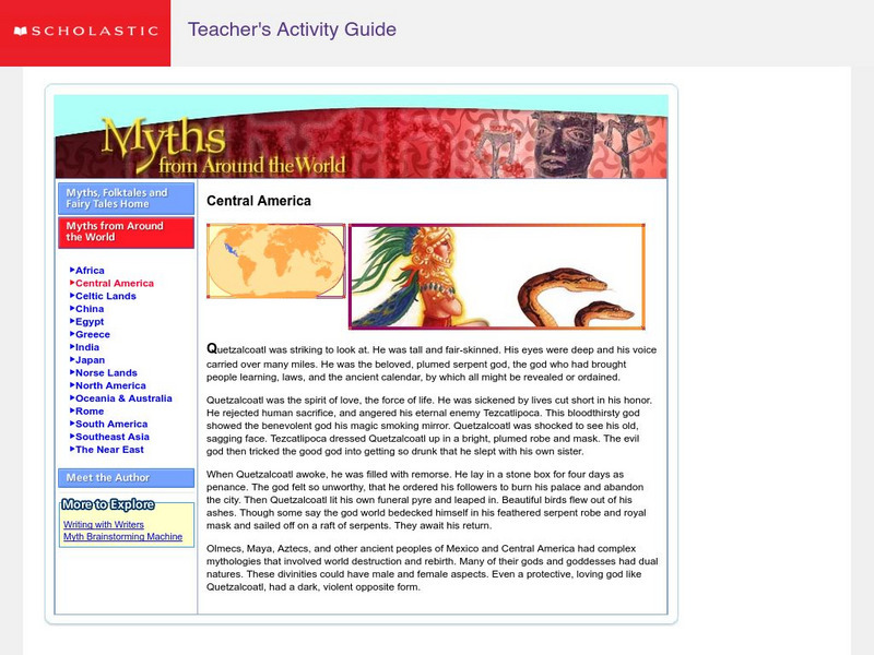
Scholastic: Myths From Around the World: Central America
Learn about Quetzalcoatl, a serpend god who taught about the spirit of love and the destruction of rebirth. Learn how Central American myths can be related to law, ancient calendars, and rebirth.
That Quiz
Geographia America: That Quiz
Interactive map quiz for those studying the countries of the Americas. Test tracks time and show right and wrong answers.
Mariners' Museum and Park
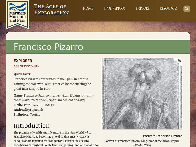
Mariners' Museum: Francisco Pizarro
A not-so-nice, yet successful Spanish explorer, Francisco Pizarro is featured in a biography for conquering Peru and working his way up the Pacific coast to discover land in Central America. Check out his route and details of his...
Enchanted Learning
Enchanted Learning: Explorers of North and Central America
This is a comprehensive guide to all the people who explored Central and North America. They are alphabetically listed with brief biographies. Some entries have links for further information or activities.
University of Texas at Austin
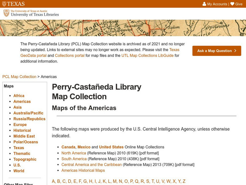
Univerisity of Texas: Maps of the Americas
A large collection of maps of all countries in the Americas including relief maps, political maps, and reference maps.
CommonLit
Common Lit: President Obama's National Address to America's Schoolchildren
CommonLit.org is a wonderful resource to use in a Language Arts classroom. Each text is accompanied by guided reading questions, assessment questions, and discussion questions. In addition, students can click on words to see the...
Metropolitan Museum of Art
Metropolitan Museum of Art: Knights in Central Park
Are you aware of the artistry involved in creating armor and weaponry? The Metropolitan takes a comprehensive look at the arms and armor of warriors, soldiers, and knights from four different time periods in four different parts of the...
Countries and Their Cultures
Countries and Their Cultures: Garifuna
Provides an overview of the traditional culture and lifestyle of the Garifuna who live in Central America. Gives basic facts about location, language, folklore, foods, social customs, family life, education, religion, pastimes, societal...
Other
Worldpress.org: Americas
A collection of headline news articles from Latin American and Canadian Newspapers dealing with news about the "Americas".
Other
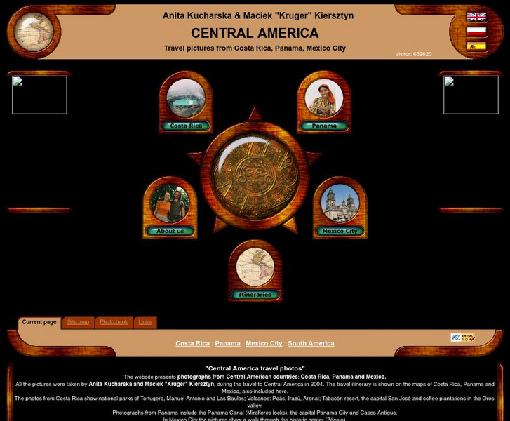
Central America Travel Pictures
Presented are photos taken during a personal trip to the Central American countries of Costa Rica, Panama and Mexico. Click on the shaded part of the map to view images.
Department of Defense
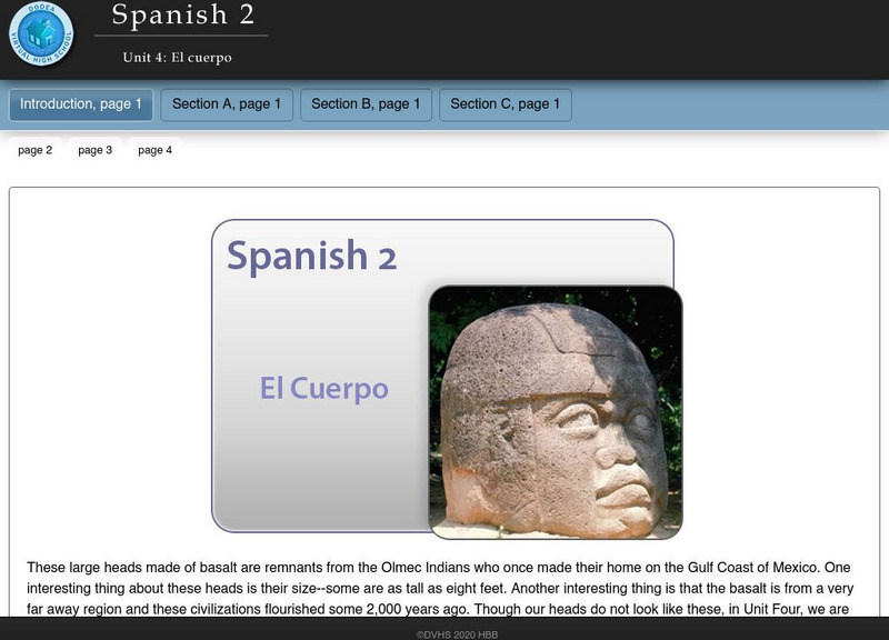
Do Dea: Spanish 2: Unit 4: El Cuerpo
In this fourth unit of an intermediate Spanish course, students learn about and present information about the art, music, and literature of a Spanish-speaking country in Central America or the Caribbean. They also develop vocabulary...
University of Regina (Canada)
University of Regina: Math Central: Map of First Nations Peoples Pre Contact Culture Areas
A color coded map of North America which contains the regions inhabited by different aboriginal nations.
University of Texas at Austin
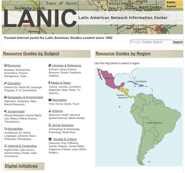
Lanic: Latin American Network Information Center
Vast network of information from and about Latin America is provided. Major topic headings include countries, economy, education, government, humanities, science, social sciences, society and culture, recreation, media and communication,...
PBS
Pbs: Destination America
Why did they come? When did they come? Find out the answers and learn much about immigration to America that has been going on for generations.
Central Pacific Railroad Photographic History Museum
Cprr Photographic History Museum: Fusang: The Chinese Who Built America
Provides excerpts from "Fusang: The Chinese Who Built America: The Chinese Railroad Men" by Stan Steiner. Describes how the Chinese contributed to the construction of the transcontinental railroad.
Other popular searches
- Central America History
- Central American History
- Geography of Central America
- Mexico and Central America
- Central America Map
- Central American Immigration
- Ss Central America
- Central America Geography
- Power Points Central America
- Central America Lesson Plans
- Central America Outline Map
- Central America Agriculture
