Khan Academy
Khan Academy: Bernardino De Sahagun and Collaborators, Florentine Codex
The Florentine Codex contains an unparalleled wealth of information regarding the people and culture of central Mexico immediately preceding the Conquest and its discussion of the Conquest itself. View pictures and descriptions of the...
Other
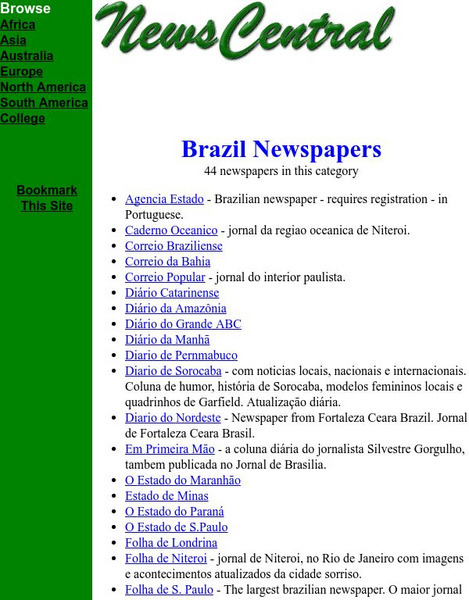
News Central: Brazil Newspapers
Provides a list of all 44 newspapers in Brazil. Most are in their native language.
Central Intelligence Agency
Cia: World Factbook: Regional and World Maps
Maps of major areas of the world can be downloaded here. The maps have excellent detail and are in color.
Library of Congress
Loc: Country Study: Panama, a Complete History
A very good country profile and history of Panama in outline form. Very specific, but still easy to access information you want.
Wikimedia
Wikipedia: History of Guatemala
Provides an extensive guide to the history of Guatemala dating from Pre-Columbian times to the 21st century.
University of Florida
Baldwin Library: The Boy Travellers in Mexico by Thomas W. Knox
This is an online photocopy of the original text of the children's book The Boy Travellers in Mexico by Thomas W. Knox (1890), a novel of the adventures of two youths in a journey to northern and central Mexico, Campeachey, and Yucatan,...
Soylent Communications
Notable Names Database|nndb: Francisco Pizarro
Known for conquering Peru for Spain in the sixteenth century, Francisco Pizarro moved north along the coast to discover Central America. He is highlighted in this biography.
Climate Literacy
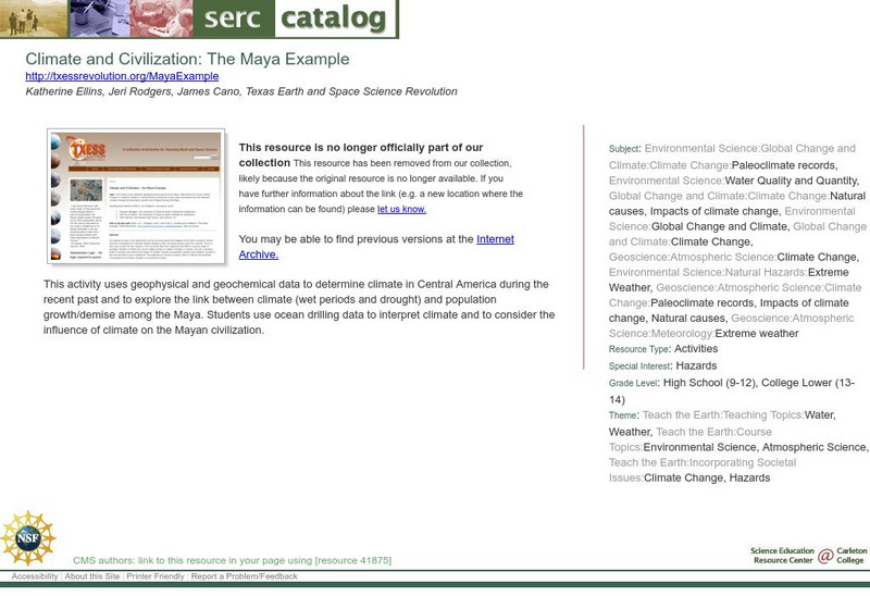
Clean: Climate and Civilization: The Maya Example
Students use geophysical and geochemical data collected by the Ocean Drilling Program to examine climate in Central America during the recent past. They also have the opportunity to investigate the link between climate change and...
Other
Welcome to Puerto Rico: The Coqui
This page presents the Puerto Rican frog the Coqui, part of a diverse family of frog species that are found throughout the Caribbean and Central America.
Curated OER
Etc: Maps Etc: Heat Belts in North America, 1898
A map from 1898 showing the heat belts in North America. The map gives the boundary isotherms of the hot belt as a mean temperature of 70 degrees Fahrenheit and the cold belt as a mean temperature of 30 degrees Fahrenheit, indicating the...
Curated OER
Educational Technology Clearinghouse: Maps Etc: Central North America, 1755
A map of central North America showing territorial claims at the beginning of the French and Indian War in 1755. The map shows the Oregon Country, the Spanish claims to New Spain and Florida, the French claims to Louisiana and Canada,...
Curated OER
Etc: Maps Etc: Physical Map of South America, 1898
A map from 1898 of South America showing the general physical features including mountain systems, prominent peaks and volcanoes, river and lake systems, plateaus, and coastal features. The map includes an insert of the Isthmus of...
Curated OER
Educational Technology Clearinghouse: Maps Etc: Drawing of South America, 1872
A base map from 1872 illustrating instructions for drawing South America. The map shows the equator, major rivers, mountain systems, and includes two east-west cross-sections showing the central and southern Amazon Basin and Andes.
Curated OER
Etc: Maps Etc: Orographic Chart of North America, 1891
An orographic map from 1891 of North America showing the principal mountain systems, rivers, and terrain features of the region. The map is coded to show high lands and mountain regions, and shaded regions of plains, with dark lines...
Curated OER
Educational Technology Clearinghouse: Maps Etc: South America, 1885
An orographic map of South America from 1885 showing the primary mountain systems and general elevations. The map is color-coded to show highlands in buff tint, lowlands in green, and the major mountain chains with heavy black lines. The...
Country Studies US
Country Studies: El Salvador: Climate
A brief overview of the tropical climate of El Salvador. Learn about average temperatures, rainfall, seasonal changes, and wind patterns of this Central American country.
Climate Zone
Costa Rica Climate
Learn about the general climate in the Central American country of Costa Rica by reading tables that show average monthly temperature and amounts of rain and snow.
Climate Zone
Climate of Panama
Offers climate information for the Central American country of Panama. Broken down by average monthly temperature, rain days, and snow days. Also featured is a country map.
PBS
Pbs: Africans in America: Slavery and the Origins of the Civil War
An article by Columbia University historian Eric Foner that discusses how long-standing views of the role of slavery in America began to be challenged during the civil rights era of the 1960s by a new generation of historians, whose work...
Central Intelligence Agency
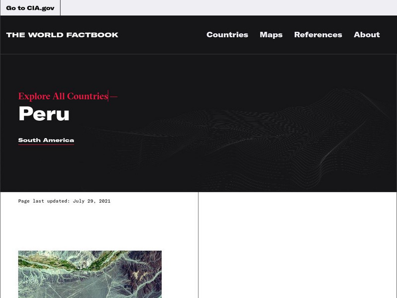
Cia: World Factbook: Peru
This resource from the CIA World Factbook provides a detailed fact sheet of Peru. The content covers the country's geography, people, government, economy, communications, transportation, military, and transnational issues. It includes...
Central Intelligence Agency
Cia: World Factbook: Ecuador
The CIA World Factbook provides an extensive page of information on Ecuador, a neighbor to Colombia. Includes information on this country's economy, climate, geographical location, government, size, and much more.
Central Pacific Railroad Photographic History Museum
Cprr History Museum: The Pacific Railroad Open: How to Go: What to See
Contains a guide for travel to and through Western America on the Central Pacific Railroad written by Samuel Bowles in 1869.
Other
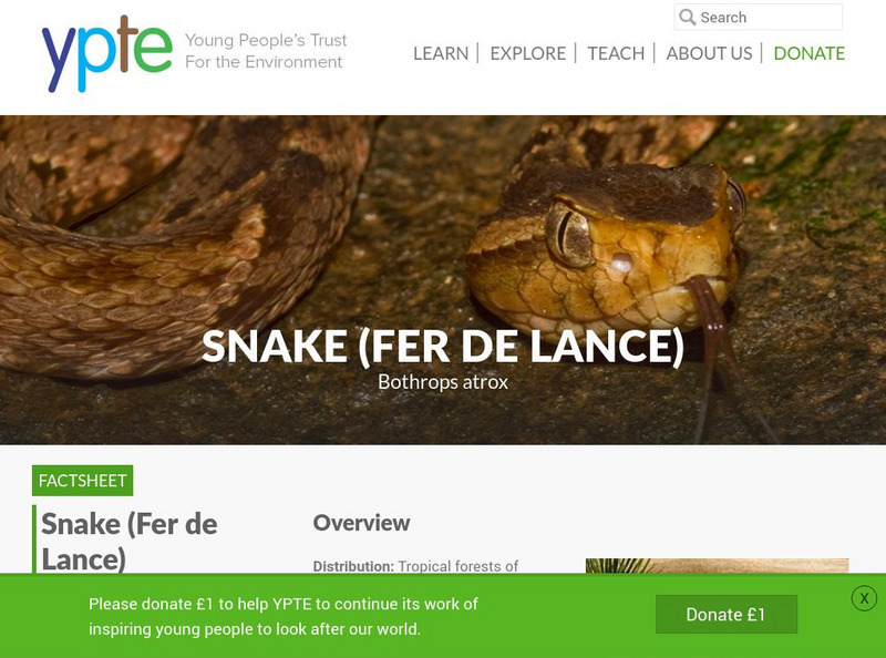
Young People's Trust for the Environment: Fer De Lance
The Young People's Trust for the Environment website outlines the Bothrops atrox, also known as the fer-de-lance, or common lancehead. This poisonous snake is the most dangerous snake found in Central and South America.
Central Pacific Railroad Photographic History Museum
Cprr History Museum: A History of the Chinese in California: A Syllabus
From a 1969 publication by the Chinese Historical Society of America comes this extensive look at the Chinese role in the building of the Central Pacific Railroad from California east to Utah.
Other popular searches
- Central America History
- Central American History
- Geography of Central America
- Mexico and Central America
- Central America Map
- Central American Immigration
- Ss Central America
- Central America Geography
- Power Points Central America
- Central America Lesson Plans
- Central America Outline Map
- Central America Agriculture


