Other
Embassy of Honduras in Washington, d.c.
This is the official website of the Embassy of Honduras in the United States. Has an abundance of information on tourist destinations and general facts on country-specific topics including art, geography, climate, government, history,...
US Department of State
Us Department of State: Honduras
The U.S. Department of State profiles the Republic of Honduras. Features information on geography, people, government, economy, history, politics, foreign relations, and tourism. (September 2011)
Other
Embassy of El Salvador in the United States
This official government website is full of great information about El Salvador including topics such as economy, tourism, history, politics, national emblems, biographies, culture, government, foreign relations, and more.
Other
Embassy of El Salvador in the United States
This official government website is full of great information about El Salvador including topics such as economy, tourism, history, politics, national emblems, biographies, culture, government, foreign relations, and more.
Geographyiq
Geography Iq: Nicaragua
A detailed and exhaustive resource for finding much information on Nicaraqua. Organized by quick facts in chart form or longer commentaries.
Geographyiq
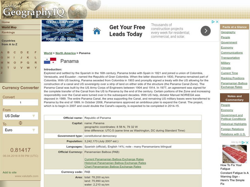
Geography Iq: Panama
Comprehensive site on Panama that gives you "Facts at a Glance" or more in-depth information about such topics as geography, people, economy, climate, or foreign relations.
Geographyiq
Geography Iq: El Salvador
Read about the Republic of El Salvador's economy, government, history, or people either as a quick fact or more expanded version at this very comprehensive site.
Geographyiq
Geography Iq: The Bahamas
All you ever wanted to know about the Bahamas can be found here. Organized by quick fact charts or more detailed commentary, information includes geography, government, economy, climate, and more.
US Department of State
U.s. Dept. Of State: u.s. Relations With Costa Rica
Provides information about the relationship between the United States and Costa Rica. Additional information about the country is available through the links at the bottom of the page.
US Department of State
U.s. Dept. Of State: u.s. Relations With Nicaragua
Discusses the relationship between the U.S. government and Nicaragua. (January 2019)
US Department of State
U.s. Dept. Of State: u.s. Relations With the Dominican Republic
Provides information about the relationship between the United States and the Dominican Republic. Additional information about the country is available through the links at the bottom of the page.
US Department of State
U.s. Dept. Of State: u.s. Relations With Haiti
Provides information about the relationship between the United States and Haiti. Additional information about the country is available through the links at the bottom of the page.
US Department of State
U.s. Dept. Of State: Us Relations With El Salvador
Read about the relationship between the United States and El Salvador. (February 2018)
US Department of State
U.s. Dept. Of State: Us Relations With Belize
Provides information about the relationship between the United States and Belize. Additional information about the country is available through the links at the bottom of the page.
US Department of State
U.s. Dept. Of State: u.s. Relations With Dominica
Provides information about the relationship between the United States and Dominica. Additional information about the country is available through the links at the bottom of the page.
BBC
Bbc: News: Country Profile: Dominican Republic
The BBC gives information about the Dominican Republic with details on geography, culture, its leaders, and its news media.
BBC
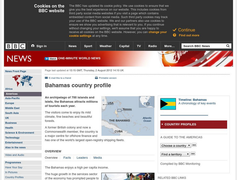
Bbc: News: Country Profile: Bahamas
BBC furnishes an overview, facts, leaders, and a media list for the Bahamas. Provided is a link to a detailed timeline of events.
BBC
Bbc: News Country Profile: El Salvador
BBC furnishes an overview, facts, leaders' information, and a media list for El Salvador. Provided is a link to a detailed timeline of events and the audio of the national anthem.
BBC
Bbc: News: Country Profile: Haiti
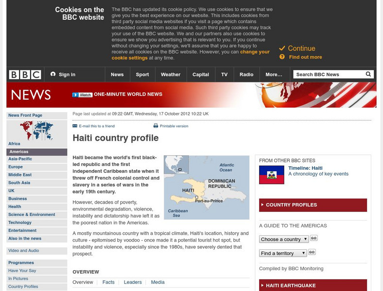
Discover details about Haitian history, economy, government, and news media from the BBC. Links to an audio of the national anthem and a timeline of events.
Other
Dirty Little Wars (Nicaragua)
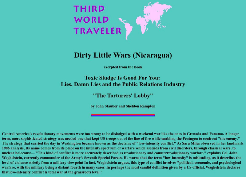
This article describes the PR maneuvering behind the scenes in the Nicaraguan Revolution.
Curated OER
Educational Technology Clearinghouse: Maps Etc: Mexico and West Indies, 1855
A map of Mexico, Central America, and the West Indies showing the foreign territorial possessions and independent countries in the region in 1855. The map is color-coded to show the territorial and island possessions at the time of Spain...
Curated OER
Etc: Maps Etc: French Posts and Forts in Louisiana and New France, 1754
A map of North America showing the French posts and forts at the beginning of the French and Indian War (1754) between the French and the British. The map is color-coded to show the territorial claims of the British, French, and Spanish...
Curated OER
Etc: Maps Etc: The United States and Neighbors, 1898
A map from 1898 of North America, Central America, Greenland, and the Caribbean to Puerto Rico, subtitled "The United States and its Neighbors in North America." The map is color-coded to show the possessions of Greenland (to Denmark),...
Curated OER
Educational Technology Clearinghouse: Maps Etc: Vegetation Regions, 1898
A base map from 1898 of North America, Central America, Greenland, and the Caribbean to Puerto Rico showing the general distribution of vegetation types in the region, including areas of deserts, tundras, and ice fields, areas of grassy...
Other popular searches
- Central America History
- Central American History
- Geography of Central America
- Mexico and Central America
- Central America Map
- Central American Immigration
- Ss Central America
- Central America Geography
- Power Points Central America
- Central America Lesson Plans
- Central America Outline Map
- Central America Agriculture


