National Geographic Kids
National Geographic Kids: Panama
Click-through facts-and-photo file about Panama's geography, nature, history, people and culture, and government. Includes a map of the country that pinpoints its Central American location and a video highlighting the race to save...
Encyclopedia of Earth
Encyclopedia of Earth: Costa Rica
The Encyclopedia of Earth provides an overview of Costa Rica, including its geography, natural resources, history, government, economy, and much more. Maps and images are also included, along with sources used to create the entry.
AllRefer
All Refer: Reference: Belize: Introduction & Country Profile
Provided is good reference material for learning about Belize including a map, flag, and information concerning geography, history, government, economy, and the people.
AllRefer
All Refer Reference: Guatemala: Introduction & Country Profile
Gain much meaningful knowledge about Guatemala while learning about the country's economy, people, government, military, and more. Good reference map and flag are included.
AllRefer
All Refer Reference: Honduras: Introduction & Country Profile
Good reference resource for studying about Honduras. Importance is given to the categories of geography, history, government, economy, and people. A map and picture of the flag are included.
Other
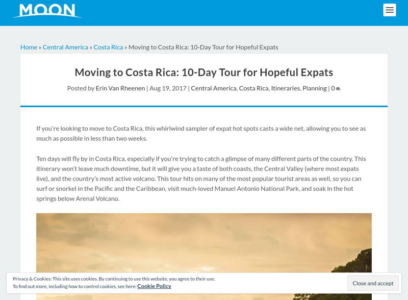
Moon Travel Planner: Costa Rica
Discover and explore Costa Rica in this great online destination guidebook. After reading an overview of the country, get detailed information about specific regions and cities that include detailed maps. The links help you plan a trip.
InterKnowledge Corp.
Geographia: Mexico Introduction
Explore the magical world of Mexico. Learn about the history and culture of this diverse country as well as tour the country through pictures.
Other
Costa Rica Tourism and Travel Bureau
Features a general overview of the history, geography, climate, transportation, communications, culture, and national parks of Costa Rica. Great place to start if you are planning a trip or just want to learn more about the country.
Other
Costa Rica Tourism and Travel Bureau
Features a general overview of the history, geography, climate, transportation, communications, culture, and national parks of Costa Rica. Great place to start if you are planning a trip or just want to learn more about the country.
Nations Online Project
Nations Online: Costa Rica
Features a country profile of Costa Rica, background details, and numerous links to comprehensive information on the nation's culture, history, geography, economy, environment, population, news, government, and much more.
Nations Online Project
Nations Online: Honduras
Good reference source that features a country profile of Honduras, background overview, and numerous links to comprehensive information on the country's culture, history, geography, economy, environment, population, news, government, and...
Nations Online Project
Nations Online: Panama
Features a virtual destination guide and country profile of Panama, background overview, and numerous links to comprehensive information on the nation's culture, history, geography, economy, environment, population, news, government, and...
University of Washington
Pacific Northwest Labor and Civil Rights Projects: Seattle General Strike
A comprehensive look at the Seattle General Strike, which began in February, 1919. Here you will find an explanation of why the strike began, an interactive map of the location of important events, oral histories, contemporary newspaper...
Central Intelligence Agency
Cia: World Factbook: United States
This resource from the CIA World Factbook provides a detailed fact sheet of United States. The content covers the country's geography, people, government, economy, communications, transportation, military, and transnational issues. It...
Lizard Point Quizzes
Lizard Point: Mexico: Federal States Quiz
Try this interactive geography quiz which tests your knowledge about the federal states of Mexico.
Curated OER
Etc: Maps Etc: Heat Belts in North America, 1898
A map from 1898 showing the heat belts in North America. The map gives the boundary isotherms of the hot belt as a mean temperature of 70 degrees Fahrenheit and the cold belt as a mean temperature of 30 degrees Fahrenheit, indicating the...
Curated OER
Educational Technology Clearinghouse: Maps Etc: Central North America, 1755
A map of central North America showing territorial claims at the beginning of the French and Indian War in 1755. The map shows the Oregon Country, the Spanish claims to New Spain and Florida, the French claims to Louisiana and Canada,...
Curated OER
Etc: Maps Etc: Physical Map of South America, 1898
A map from 1898 of South America showing the general physical features including mountain systems, prominent peaks and volcanoes, river and lake systems, plateaus, and coastal features. The map includes an insert of the Isthmus of...
Curated OER
Educational Technology Clearinghouse: Maps Etc: Drawing of South America, 1872
A base map from 1872 illustrating instructions for drawing South America. The map shows the equator, major rivers, mountain systems, and includes two east-west cross-sections showing the central and southern Amazon Basin and Andes.
Curated OER
Educational Technology Clearinghouse: Maps Etc: South America, 1885
An orographic map of South America from 1885 showing the primary mountain systems and general elevations. The map is color-coded to show highlands in buff tint, lowlands in green, and the major mountain chains with heavy black lines. The...
Curated OER
Etc: Maps Etc: Orographic Chart of North America, 1891
An orographic map from 1891 of North America showing the principal mountain systems, rivers, and terrain features of the region. The map is coded to show high lands and mountain regions, and shaded regions of plains, with dark lines...
Curated OER
Etc: Maps Etc: Distribution of American Indians, 1500
A map from 1920 of North America central Canada to northern Mexico showing the distribution and territories of the Native Americans around 1500. The boundaries are based on linguistic stock and not tribal territories. The map was...
Curated OER
Etc: Maps Etc: Distribution of Native Americans, 1500
A map from 1906 of North America central Canada to northern Mexico showing the distribution and territories of the Native Americans around 1500. The boundaries are based on linguistic stock and not tribal territories. "Anthropologists of...
Curated OER
Educational Technology Clearinghouse: Maps Etc: The Mexican War, 1803 1848
A map of northern and central Mexico and southern United states showing the area of conflict during the Mexican-American War (1846-1848). The map shows the Mexican boundary (under Spain) established by the Louisiana Purchase (1803)...


