Latimer Clarke Corporation
Atlapedia Online: Costa Rica
If you're doing a research paper on Costa Rica, this is a great place to begin. Has information about the history, people, geography, climate, economy, and more. Click on the map image to get more details and an enlarged view.
Curated OER
Etc: Maps Etc: Population Distribution of North America, 1921
A base map from 1921 of North America, Central America, and the Caribbean showing the general population distribution in Alaska, Greenland, Dominion of Canada, United States, Mexico, and Central America at the time. People are most...
Curated OER
Etc: Maps Etc: Population Distribution of North America, 1916
A map from 1916 of North America, Central America, Greenland, and the Caribbean to Puerto Rico showing the population distribution at the time. The map is color-coded to show areas where the population density ranges from under 1...
Curated OER
Etc: Maps Etc: Mean Average Temperatures in North America, 1906
A map from 1906 of North America showing the mean annual isotherms of the region given in degrees Fahrenheit. "The climate of North America naturally varies greatly, depending on latitude, the general atmospheric circulation or direction...
Curated OER
Etc: Maps Etc: Climate and Life Provinces of North America, 1911
A map from 1911 of North America and Central America showing the seven climate zones and three life provinces in the region. The map is color-coded to show the Arctic, Hudsonian, and Canadian climate zones (Boreal Region), Transition,...
Curated OER
Ed Tech Clearinghouse: Maps Etc: Zoogeographic Areas of North America, 1906
A zoogeographic map of North America and Central America from 1906 showing life zones of the region based on climate conditions.
Central Intelligence Agency
Cia: World Factbook: Peru
This resource from the CIA World Factbook provides a detailed fact sheet of Peru. The content covers the country's geography, people, government, economy, communications, transportation, military, and transnational issues. It includes...
Lonely Planet
Lonely Planet : Honduras Map
Lonely Planet provides a thorough map of Honduras including all major cities, surrounding countries, and bodies of water.
The Commonwealth
Commonwealth Secretariat: Dominica
The Commonwealth Secretariat furnishes a country profile of Dominica with links to information on geography, society, economy, history, the constitution, and politics.
Geographyiq
Geography Iq: Nicaragua
A detailed and exhaustive resource for finding much information on Nicaraqua. Organized by quick facts in chart form or longer commentaries.
Geographyiq
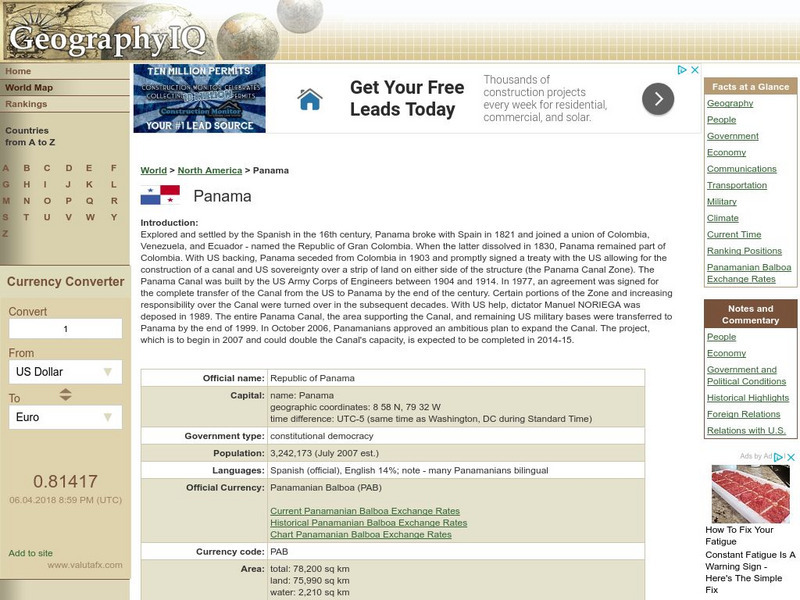
Geography Iq: Panama
Comprehensive site on Panama that gives you "Facts at a Glance" or more in-depth information about such topics as geography, people, economy, climate, or foreign relations.
Curated OER
Etc: Maps Etc: Population of North America, 1898
A map from 1898 showing the population distribution of North America, Central America, and Caribbean to Puerto Rico. The map shows areas of sparse to heavily populated concentrations at the time. "Many thousands of white men from western...
Curated OER
Educational Technology Clearinghouse: Maps Etc: North America, 1901
A map from 1901 of North America, Central America, the Caribbean, and Greenland showing general land elevations, mountain systems, rivers, coastal features, and ocean currents. The map is color-coded to show land elevations ranging from...
Curated OER
Etc: Maps Etc: Mexico and Western North America, 1845
A map of Mexico in 1845, prior to the ceding of the northern territories to the United States in 1846. The map shows the territories of Oregon, Texas, and Central America under Mexican control, and the frontiers of the Missouri and...
Curated OER
Educational Technology Clearinghouse: Maps Etc: North America, 1885
A map from 1885 of North America and Central America showing the major relief features of the region. The map shows the primary highland known as the Pacific Highland, with the Sierra Nevada and Rocky Mountains, the secondary highlands...
Curated OER
Educational Technology Clearinghouse: Maps Etc: Mexico and West Indies, 1855
A map of Mexico, Central America, and the West Indies showing the foreign territorial possessions and independent countries in the region in 1855. The map is color-coded to show the territorial and island possessions at the time of Spain...
Curated OER
Educational Technology Clearinghouse: Maps Etc: North America, 1858
A map from 1858 of North America showing the boundaries at the time for Russian America (Alaska), Greenland, British America or New Britain, Canada East and Canada West, the United States, Mexico, Central America, and the West Indies...
Curated OER
Educational Technology Clearinghouse: Maps Etc: Rainfall in North America, 1898
A map from 1898 of North America, Central America, Greenland, and the Caribbean to Puerto Rico showing the general distribution of rainfall in the region. The map shows areas of little or no rainfall to areas of heavy rainfall. The map...
Curated OER
Educational Technology Clearinghouse: Maps Etc: North America, 1901
A map from 1901 of North America, Central America, the Caribbean, and Greenland (Danish America) showing the political boundaries at the time. The map shows capitals and major cities, mountain systems, lakes, rivers, coastal features,...
Curated OER
Educational Technology Clearinghouse: Maps Etc: Relief of North America, 1890
A relief map from 1890 of North America, Central America, Greenland, and the Caribbean to Puerto Rico showing the general mountain systems, highlands, and plains of the region. Major river systems are shown. "North America is the third...
Curated OER
Educational Technology Clearinghouse: Maps Etc: North America, Vegetation, 1911
A map from 1911 of North America, Central America, Greenland, and the Caribbean to Puerto Rico showing the areas of primary vegetation types for the region. The map is color-coded to show areas of forests, areas of woodland, grass, and...
Curated OER
Educational Technology Clearinghouse: Maps Etc: North America, Population, 1911
A map from 1911 of North America, Central America, Greenland, and the Caribbean to Puerto Rico showing the population distribution at the time. The map is color-coded to show population densities from under 2 persons per square mile to...
Curated OER
Etc: Maps Etc: North America and West Indies, 1870
A map of North America, Central America, and the Caribbean to St. Thomas and St. John islands in 1870 showing political boundaries at the time, mountain systems and terrain, rivers, and major cities. The map is color-coded to show the...
Curated OER
Etc: Maps Etc: French Posts and Forts in Louisiana and New France, 1754
A map of North America showing the French posts and forts at the beginning of the French and Indian War (1754) between the French and the British. The map is color-coded to show the territorial claims of the British, French, and Spanish...


