InterKnowledge Corp.
Geographia: Latin America
This Geography portal to Latin America features maps, photos, and drawings relating to each country. Click on desired country icon to see related pages.
Science Struck
Science Struck: List of Latin American Countries With Their Capitals
Presents a map and list of all the Latin American countries, along with their capitals, population, land area, and names of the largest cities. (Note: Puerto Rico is a territory of the United States, not a country on its own.)
Other
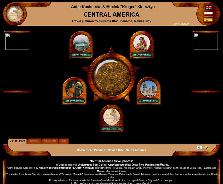
Central America Travel Pictures
Presented are photos taken during a personal trip to the Central American countries of Costa Rica, Panama and Mexico. Click on the shaded part of the map to view images.
Polk Brothers Foundation Center for Urban Education at DePaul University
De Paul University: Center for Urban Education: American Explorers [Pdf]
"American Explorers" is a one page, non-fiction, reading passage about the Lewis and Clark Expedition. They traveled from St. Louis to the Pacific Ocean with the help of Native Americans and made maps along the way. It is followed by...
Polk Brothers Foundation Center for Urban Education at DePaul University
De Paul University: Center for Urban Education: American Explorers [Pdf]
"American Explorers" is a one page, non-fiction, reading passage about the Lewis and Clark Expedition from St. Louis to the Pacific Ocean. Along the way they drew maps for future travels. It is followed by constructed-response questions...
Other
Instituto Costarricense De Turismo: Essential Costa Rica
This is the official website of Costa Rica. Features a comprehensive guide to visiting Costa Rica. Gather information on geography, climate, history, people, government, national symbols, economy, culture, and politics. Click on the...
Other
Owl and Mouse: Map of Central America and the Caribbean
With this interactive map of Central America and the Caribbean, students point the mouse to different countries on the map and see the name of the country and the capital city.
Climate Zone
Climate of Panama
Offers climate information for the Central American country of Panama. Broken down by average monthly temperature, rain days, and snow days. Also featured is a country map.
Curated OER
Etc: Maps Etc: Mexico and Western North America, 1845
A map of Mexico in 1845, prior to the ceding of the northern territories to the United States in 1846. The map shows the territories of Oregon, Texas, and Central America under Mexican control, and the frontiers of the Missouri and...
AllRefer
All Refer: Reference: Costa Rica: Introduction & Country Profile
Significant source for information about the Central American country of Costa Rica. Facts are included about geography, economy, history, government, and the people. Take a look at the map and the flag.
AllRefer
All Refer Reference: El Salvador: Introduction & Country Profile
Profiled here is the Central American country of El Salvador. Basic facts are furnished for topics that include: geography, economy, government, people, military, history, a map, and a flag.
AllRefer
All Refer Reference: Nicaragua: Introduction & Country Profile
Presented is a guide to meaningful information about the economy, geography, people, government, and military of Nicaragua. There is also a map and a picture of the flag of this Central American country.
AllRefer
All Refer: Reference: Panama: Introduction & Country Profile
Good resource for studying about the Central American country of Panama. Learn significant facts about its geography, culture, economy, government, and more. You can even view a map and a flag.
National Geographic Kids
National Geographic Kids: Guatemala
Click-through facts-and-photo file about Guatemala's geography, nature, history, people and culture, and government. Includes a map of the country that pinpoints its Central American location and a video of a bat falcon, a resident...
National Geographic Kids
National Geographic Kids: Panama
Click-through facts-and-photo file about Panama's geography, nature, history, people and culture, and government. Includes a map of the country that pinpoints its Central American location and a video highlighting the race to save...
Wikimedia
Wikipedia: Guatemala
Wikipedia furnishes useful information about the Central American country of Guatemala. Content includes history, politics, geography, economy, culture, maps, and so on.
Climate Zone
Climate of Dominican Republic
Presents climate information for the Central American country of the Dominican Republic including facts about average monthly temperature, rainfall, and snowfall.
Climate Zone
Climate Zone: Climate of Honduras
General information plus monthly temperature, rain and snowfall facts are given for the Central American country of Honduras. Divided by climate stations.
Other
Asia Society: Policy
A comprehensive storehouse of all types of information on Asia, both current and past: maps and statistics, Asian food, travel guides, photographs, articles, timelines, and more. Asia Source is the work of the Asia Society, a national...
Stanford University
Sheg: Document Based History: Reading Like a Historian: Manifest Destiny
[Free Registration/Login Required] Students use primary source documents to investigate central historical questions. In this investigation students use nineteenth-century maps and art, and consider the roots of American exceptionalism.
Climate Zone
Climate of El Salvador
A valuable guide to climate information in El Salvador broken down by stations. Information includes average monthly temperature and rainfall. Some general facts and a map are also featured.
Curated OER
Etc: Maps Etc: Mexico, Central America, and the West Indies, 1898
A map from 1898 of Mexico, Central America and the West Indies. The map includes an inset map of Cuba and the Isthmus of Nicaragua. "The surface of the Rocky Mountain highland in Mexico is quite similar to that of the great plateau...
Curated OER
Etc: Maps Etc: Mexico, Central America, and the West Indies, 1906
A map from 1906 of Mexico, Central America, and the West Indies showing the political boundaries at the time, capitals and major cities, mountain systems, coastal features, and islands of the region. An inset map shows the entire North...
Curated OER
Etc: Central Maryland and Pennsylvania, 1861 1865
A map of central Maryland and Pennsylvania during the American Civil War (1861-1865) showing major cities and towns, roads, railroads, terrain features, rivers, and several battle sites. Included on the map are Washington, Alexandria,...


