PBS
Pbs Learning Media: Hurricane Matthew Causes Weathering and Erosion
View videos and photos from the aftermath of Hurricane Matthew and see how the earth's landforms changed as a result of the heavy winds and rain. Weathering and erosion made a new landform and dramatically changed the coastline....
PBS
Pbs Learning Media: Nisqually Glacier at Mount Rainier
Observe the Nisqually Glacier at Mount Rainier in this video segment from NatureScene. [4:07]
US Geological Survey
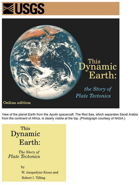
Usgs: Plate Tectonics and Mid Oceanic Ridges
Excellent graphics and understandable text about all aspects of plate tectonics including mid-ocean ridges.
Incorporated Research Institutions for Seismology
Iris: Station Monitor
Students can type in their zip code to find and explore the nearest live earthquake station data.
Incorporated Research Institutions for Seismology
Iris: Seismic Monitor
Seismic Monitor allows you to monitor global earthquakes in near real-time, visit seismic stations around the world, and search the web for earthquake or region-related information.
Incorporated Research Institutions for Seismology
Iris: Earthquake Browser
A live, real-time data global map of all current earthquake activity.
Science Struck
Science Struck: What Are Ocean Trenches and How Are They Formed?
Around 72 percent of the Earth's surface is found under the oceans. It has always been contributing to the dynamically changing face of the Earth through the tectonic phenomenon occurring at its depths. Such a naturally occurring...
Scholastic
Scholastic: Study Jams! Science: Landforms, Rocks & Minerals: Earthquakes
A video and a short multiple-choice quiz on earthquakes, how they form, how they are measured, and the ways they can change the surface of the Earth.
Science Education Resource Center at Carleton College
Serc: Geologic History Field Investigation Minnehaha Falls
An inquiry-based geology field investigation where students investigate sedimentary geology, stream processes, topography, rock layers, and land surface features as well as study past changes in the depositional environment in the area.
Exploratorium
Exploratorium: Global Climate Change: Atmosphere
Use this site to explore real scientific data relating to the atmosphere. With this information you can gather evidence, test theories, and come to conclusions. Click on the data examples to view a full scale version.
Exploratorium
Exploratorium: Global Climate Change: Hydrosphere
Use this site to explore real scientific data relating to the hydrosphere. With this information you can gather evidence, test theories, and come to conclusions. Click on the data examples to view a full scale version.
Other
California's Native People, Desert Interior
This site has information about the settlement patterns of the Native People of California based on the location and availability of resources.
University of Colorado
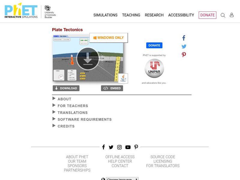
University of Colorado: Ph Et Interactive Simulations: Plate Tectonics
Explore how plates move on the surface of the earth. Change temperature, composition, and thickness of plates. Discover how to create new mountains, volcanoes, or oceans! Java is required.
University of Colorado
University of Colorado: Ph Et Interactive Simulations: Ph Et: Interactive Simulations: Plate Tectonics
Students studying plate tectonics will better understand its concepts with this virtual experiment that tests how plates move on the surface of the earth. Temperature, composition, and thickness of plates can be changed to create new...
The Wonder of Science
The Wonder of Science: Ms Ess2 2: Geoscience Processes at Varying Scales
Assessment templates, videos, examples, lesson plans, and photos of student work that directly address standard MS-ESS2-2: geoscience processes at varying scales.


