Curated OER
Arrange the Classroom (Part 1 of 3)
Fifth graders arrange the classroom using all the moveable objects and through the exploration of area and perimeter. They determine the area of the classroom, create and label model pieces of furniture using graph paper, and create a...
Curated OER
Design-A-Room Project (Part 3 of 3)
Young scholars culminate a unit on measurement with a focus on area and perimeter. They design a floor plan of their dream room on graph paper showing the proper area and perimeter. They plan the budget for their room and make a 3-D...
Curated OER
A Bird's Eye View of our 50 States
Third graders focus on state birds as they learned absolute location (latitude/longitude) of each state, as well as their relative location (bordering states).
Curated OER
COLD SEA WATERS
Students examine how old sea waters affected the local and state area during the summer of 1998. Studying a detailed web-site helps students examine sea temperatures.
Curated OER
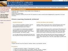
Asian Civilizations
Seventh graders complete computer based research to complete a travel brochure that highlights an Asian civilization.
Curated OER
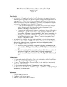
Creation and Interpretation of Voter Participation Graph
Ninth graders research information about voter participation in the United States based on age. They develop generalizations about voting patterns in the U.S and use Microsoft Excel to analyze the information.
Curated OER
Discovering Your Community
Students focus on the origins of the families that make up their community by exploring their family's origins through themselves, parents, and grandparents. Students create a map marked with family origins for the class.
Curated OER
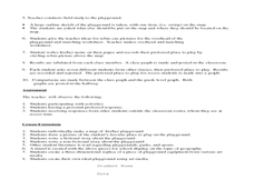
Where Oh Where on the Playground, Do I Love To Be?
Students listen to poem, Where Oh Where On the Playground, Do I Love to Be?, and practice reading, interpreting, and making maps, charts, and graphs in surveying classmates and discussing their favorite places to play in school playground.
Curated OER
"A Costly Prosperity", South Carolina during World War II
Eleventh graders study the history of South Carolina during World War II. In this American History lesson, 11th graders analyze the economic growth of this state through primary sources. Students interpret many different...
Curated OER
Where In the World Are We?
Fifth graders read postcards and find their locations on maps. They use the pictures and text on the postcards to write about imaginary vacations. They compute the mileage and compare it to TripMaker data.
Curated OER
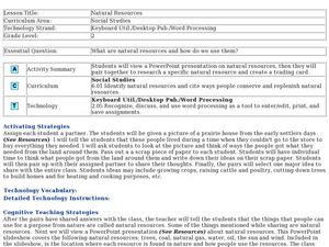
Natural Resources
Fifth graders begin the lesson plan by identifying the different types of natural resources. As a class, they discuss how environments are destructed and how the loss of one natural resource can affect the economy. Using a map, they...
Curated OER
Inference Lesson Plan
Young scholars practice assessing graphics to infer and identify an author's implicit and explicit meaning in a piece of text. They evaluate the effectiveness of information found in maps, charts, tables, graphs, diagrams, cutaways and...
Curated OER
Lesson Six: Nonfiction Text Elements (Part One)
Students examine nonfiction text elements in preparation for writing a nonfiction book about Lewis and Clark. In this social studies/language arts lesson, students discuss the term research and complete a cluster map. Additionally,...
Curated OER
What is the Population Distribution of Cartoon Characters Living On the Pages of Your Newspaper?
Students read various cartoons in their local newspaper and calculate the population demographics, spatial distribution and grouping of the characters. Using this information, they create a population distribution map and share them with...
Curated OER
Wet Water, Dry Land
Students observe and examine relationship between landforms and bodies of water, recognizing differences between them. Students then define island, peninsula, isthmus, archipelago, lake, bay, straight, system of lakes, and identify land...
Curated OER
Using "Why Mosquitoes Buzz in People's Ears" to Teach Cause and Effect
Learners discuss cause and effect relationships and the chain reaction involved before listening to the story "Why Mosquitoes Buzz in People's Ears". Students create flow charts to show the chain reactions of causes and effects in the...
Curated OER
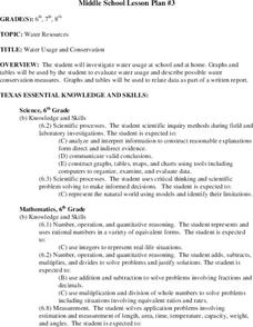
Water Usage and Conservation
Young scholars investigate water usage at school and at home. They use graphs and tables to evaluate water usage. Students describe possible water conservation measures. They use graphs and tables to relate data as part of a written report.
Curated OER
Comparison of Snow Cover on Different Continents
Pupils use the Live Access Server (LAS) to form maps and a numerical text file of snow cover for each continent on a particular date. They analyze the data for each map and corresponding text file to determine an estimate of snow cover...
Curated OER
Different Perspectives of Oregon's Forest Economic Geography
Students map data on employment in wood products manufacturing in Oregon counties. In this Oregon forest instructional activity, students discover the percentage of people employed in the forest manufacturing industry. Students create a...
Curated OER
The Geographic Doctor Seuss
Students define the term region using semantic mapping, listen to the Dr. Seuss story Yertle the Turtle, and discuss the conflict over borders in the story. They draw a map divided into regions.
Curated OER
Wetlands: Pave or Save?
Students discuss the characteristics of wetlands and how to make them more productive. Using a map, they locate the major wetlands in the United States and color them using a key. They read an article and in groups answer discussion...
Curated OER
Louisiana Purchase
Students use maps to locate and describe the area purchased by the Louisiana Purchase. In groups, they write a letter to Thomas Jefferson in which they evaluate the topography, climate and geography of the land. They determine the land's...
Curated OER
Most Wanted Villians
Students review the characteristics of various characters in fairytales. As a class, they review the story details and create a concept map using a software program. They create their own wanted poster of the villians in the fairytale to...
Curated OER
Using Radiosonde Data From a Weather Balloon Launch
Student use radiosonde data from a weather balloon launch to distinguish the characteristics of the lower atmosphere. They learn the layers of the atmosphere. They graph real atmospheric data.
Other popular searches
- Maps Graphs and Charts
- Graphs, Charts and Maps
- Graphs\, Charts and Maps
- Charts, Graphs, Maps
- Maps, Charts, Graphs, Tables


