ClassFlow
Class Flow: Native American Removal
[Free Registration/Login Required] Using Activotes, students are assessed on their knowledge of the Native Americans' removal.
PBS
New Perspectives on the West: Sam Houston (1793 1863)
This biography on Sam Houston focuses his life as an advocate for Indians and his controversial political career.
Other
American Indian Civics Project: 19th Century Indian Relations
This article provides an overview of Indian relations within the United States during the 19th century.
Other
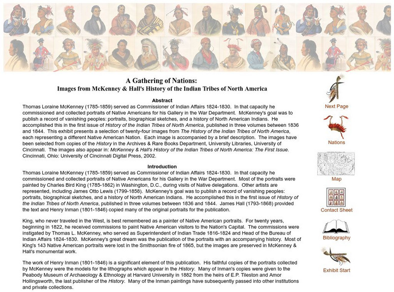
A Gathering of Nations: Images of History of the Indian Tribes of North America
A selection of twenty-four images from The History of the Indian Tribes of North America, each representing a different Native American Nation. Each image is accompanied by a brief description.
ClassFlow
Class Flow: Native Americans of the Southeast Woodlands
[Free Registration/Login Required] This flipchart focuses on the fundamental ways of life of the Southeast Woodland Indians and how they were affected by their environment.
Other
North Carolina Dept. Of Natural and Cultural Resources: French and Indian War
Armed conflict left homes destroyed and casualties on all sides of the French and Indian war, which lasted from 1754 to 1763. Includes links to excellent resources for further information.
Curated OER
Wikipedia: National Historic Landmarks in Tennessee: Fort Loudoun
Built by the British in 1756 during the French and Indian War, Fort Loudoun allied with the Cherokee to protect the British southern marches. The fort was surrendered to the Cherokee in 1760, who had turned hostile and laid siege to the...
Curated OER
Wikipedia: National Historic Landmarks in Tennessee: Sycamore Shoals
The Treaty of Sycamore Shoals with the Cherokee, signed here in 1775, allowed the United States to acquire 20,000,000 acres (81,000 km2) of Cherokee land and to promote settlement of present day Kentucky. Sycamore Shoals later served as...
Curated OER
Etc: Native American Delimitations, 1763 1770
A map of the American colonies and territories west to the Mississippi River between the end of the French and Indian War of 1763 and the beginnings of westward expansion of the trans-Appalachian colony proposed in the Vandalia Project...
Curated OER
Etc: Georgia Claims and Spanish Boundary, 1776 1802
A map of Georgia and Spanish Florida showing the boundaries established and territorial disputes between 1776 and 1802. The map shows the undisputed territory on the Atlantic, the disputed territory by Georgia and the United States...
Curated OER
Etc: Maps Etc: The Country East of the Mississippi, 1650
A map from 1872 of the country east of the Mississippi for the year 1650, forty-seven years after the settlement of Jamestown. This map shows early commencement of European settlement and the principal Native American tribal lands east...
Curated OER
Etc: Maps Etc: The Location of the Eastern Indian Tribes, 1600s
A map from 1911 of eastern North America showing the general areas of early contact between the Native Americans and European settlers. The map is divided by groups (Algonquians, Iroquoians, Siouans, and Muskhogeans) and the principal...
Curated OER
Etc: Maps Etc: The Western Frontier and Pontiac's Rebellion, 1763
A map of eastern North America and the Northwest Territory in 1763 during Pontiac's Rebellion at the end of the French and Indian Wars. The map shows the general tribal lands east of the Mississippi River of the Ottawa, Potawatomi,...
Curated OER
Educational Technology Clearinghouse: Maps Etc: Seat of the Creek War, 1813
A map of the Mississippi Territory at the time of the Creek War between the Creek Nation (Muscogee) and the Cherokees, Choctaws, and eventually the United States (1813-1814). The map shows the U.S. forts in the area (Armstrong, Strother,...
Curated OER
Wikipedia: National Historic Landmarks in Oklahoma: Sequoyah's Cabin
Log cabin home of Sequoyah, who created "talking leaves", written language for the Cherokee.
Curated OER
Wikipedia: National Historic Landmarks in Georgia: New Echota
In 1825, officially designated capital of the Cherokee Nation.
Curated OER
Wikipedia: National Historic Landmarks in Georgia: John Ross House
Home of the Cherokee chief John Ross.
Curated OER
Wikipedia: National Historic Landmarks in Georgia: Chieftains
Home of Cherokee Nation chief Major Ridge.
Curated OER
Sequoyah, a North Georgia Notable
A general biography of Sequoyah, inventor of the Cherokee writing system, with some quick insight on the creation of the alphabet.
Curated OER
Educational Technology Clearinghouse: Clip Art Etc: John Ross
John Ross (October 3, 1790 - August 1, 1866), also known as Kooweskoowe - a mythological or rare migratory bird, Principal Chief of the Cherokee Native American Nation.
Other
Ok Gen Web: Oklahoma Land Openings (1889 1907)
This is a brief explanation of the opening of Indian Territory land to white settlement in what became known as the Oklahoma Territory in 1889. Many links are provided for additional information.
Other popular searches
- Cherokee Indians
- Cherokee and Creek Indians
- Cherokee Elementary Art
- Cherokee Lesson Plans
- Cherokee Nation
- Cherokee Indian Removal
- Cherokee Indian Culture
- Creek & Cherokee Indians
- Cherokee Indian Music
- Cherokee Indians Masks
- Sequoyah Cherokee Indian
- Creeks and Cherokee Indians


