Library of Congress
Loc: Today in History: July 21: First Battle of Bull Run & Ernest Hemingway
Library of Congress presents historical material for the date July 21. Primary source documents including photos, letters, diaries and historical text. Looks at the First Battle of Bull Run and the author Ernest Hemingway.
Curated OER
National Park Service: Richmond National Battlefield: Cold Harbor
A chronological description of the events of the Battle of Cold Harbor. There is a link to a descriptive tour and map of the battle field.
Teacher Oz
Teacher Oz: History of the Lone Star State Texas
A huge collection of links to resources about the history of Texas. As this is an older web page, some of the links no longer work. Topics covered include primary resources, timelines, history sites, flags, maps, landmarks, monuments,...
University of Richmond
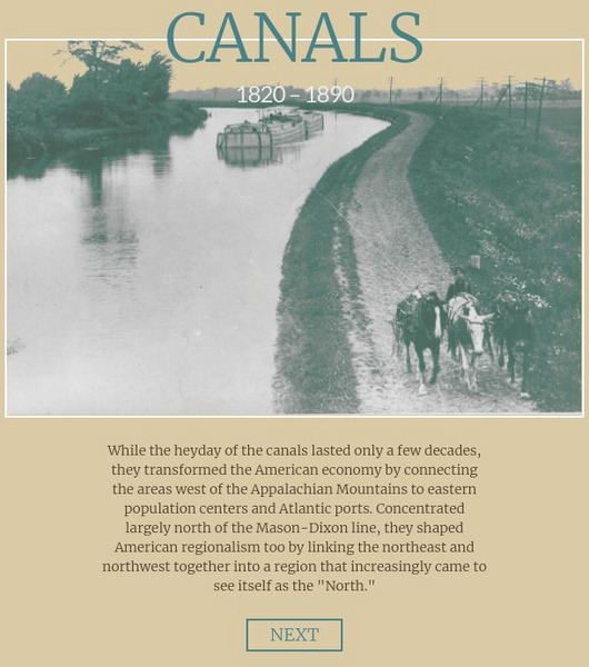
American Panorama: Canals: 1820 1860
Interactive map depicting the system of canals in the U.S. prior to the Civil War. Select by canal to see interesting details, a map and get a sense of goods traded and travel in antebellum America.
Curated OER
Etc: Vicinity of Fortress Monroe, 1861 1865
A map of the vicinity of Fort Monroe near Hampton and Norfolk, Virginia, during the American Civil War. The map shows forts, coastline features, the site of the Battle of Great Bethel, and the waters of Hampton Roads off Sewell's Point...
Curated OER
Etc: Operations in the East, 1861 1865
A map of the Southeastern States showing American Civil War operations in the East (1861-1865). The map shows major cities and towns, rivers, terrain and coastal features, and campaign routes. An inset map details eastern Virginia.
Curated OER
Etc: Operations in the West, 1861 1865
A map of the south-central States showing American Civil War operations in the West (1861-1865). The map shows major cities and towns, rivers, terrain and coastal features, and campaign routes. Inset maps detail the vicinity of Vicksburg...
Curated OER
Etc: Kentucky and West Virginia, 1861 1865
A map of the parts of Kentucky and West Virginia, where some early battles of the American Civil War were fought. The map shows terrain features, rivers, railroads, and the cities and towns of Cincinnati, Philippi, Rich Mountain,...
Curated OER
Etc: Central Maryland and Pennsylvania, 1861 1865
A map of central Maryland and Pennsylvania during the American Civil War (1861-1865) showing major cities and towns, roads, railroads, terrain features, rivers, and several battle sites. Included on the map are Washington, Alexandria,...
Curated OER
Etc: Theatre of Southwestern Campaigns, 1861 1865
A map showing the theatre of Southwestern Campaigns in the American Civil War. The map includes the northern Gulf Coast and parts of the states of Arkansas, Louisiana, Mississippi, Alabama, and Florida, showing major cities, towns, and...
University of Illinois
University of Illinois: Modern American Poetry: About Sharecropping
Three articles about the effects of sharecropping, a farming system that became prevalent after the Civil War for blacks and whites.
Virginia History Series
Virgina History Series: Virginia State History Post Wwii to Present Day [Pdf]
Visualize the major events in the last half of the 20th century such as major wars and civil rights issues through the lens of the state of Virginia. In addition, learn about the pop culture of this time specifically in Virginia. Enjoy...
PBS
Pbs American Experience: Race for the Superbomb
This site explores the Cold War race to develop the hydrogen bomb, a weapon that would change the world. Content details all the people who were involved in the race for the H-Bomb, as well as notable events during this time period....
Curated OER
Tennessee Wall Map Detailed
Site provides a detailed map of Tennessee with locations of all the Civil War battles fought there. Hyperlinks to explanations of the battles are listed below.
Texas State Library and Archives Commission
Texas State Library and Archives Commission: Hazardous Business: Line and Lands of the Texas & Pacific Railway, 1873
Here's a map showing the Texas & Pacific Railway. Click on link to get larger version which shows the route across Texas as well as an inset which shows how the railway connected to other railroads in the U.S.
Other
Global Issues: Conflict Between Ethiopia & Eritrea
This resource provides a historical background to the conflict between Ethiopia and Eritrea in which Eritrea has gained their independence. Includes some nice maps.
Other
48th Ovvi Regiment: The Official Record of the 48th Ovi at Shiloh
This is truly an excellent study and recounting of the Battle of Shiloh. The strategy of the Battle and the importance of the outcome are discussed. Primary resources such as Capt. Posegate's personal account and John Richardson's...
Curated OER
Educational Technology Clearinghouse: Maps Etc: State Secessions, 1861
State boundaries, conflicts and other political facts regarding 1861 secessions.
Curated OER
Educational Technology Clearinghouse: Maps Etc: State Secessions, 1862
State boundaries, conflicts and other political facts regarding 1862 secessions.
Curated OER
Educational Technology Clearinghouse: Maps Etc: State Secessions, 1863
State boundaries, conflicts and other political facts regarding 1863 secessions.
Curated OER
Educational Technology Clearinghouse: Maps Etc: State Secessions, 1864
State boundaries, conflicts and other political facts regarding 1864 secessions.
Curated OER
Educational Technology Clearinghouse: Maps Etc: State Secessions, 1865
State boundaries, conflicts and other political facts regarding 1865 secessions.
Curated OER
Educational Technology Clearinghouse: Maps Etc: Virginia Campaigns, 1862 1865
The scenes of the Western campaigns, color-coded to differentiate between federal and confederate armies.
Curated OER
Educational Technology Clearinghouse: Maps Etc: Battle of Gettysburg, 1863
A plan of the Battle of Gettysburg showing the positions of the Union and Confederate armies, roads, and terrain features.
Other popular searches
- American Civil War Maps
- Us Civil War Maps
- U.s. Civil War Maps
- Civil War Maps Printable
- Maps for Civil War


