Curated OER
Tree Inventory and Map Project
For this tree inventory and map project worksheet, students follow the directions on how to take inventories of trees and create a map from it. Students follow 4 sets of directions.
Other
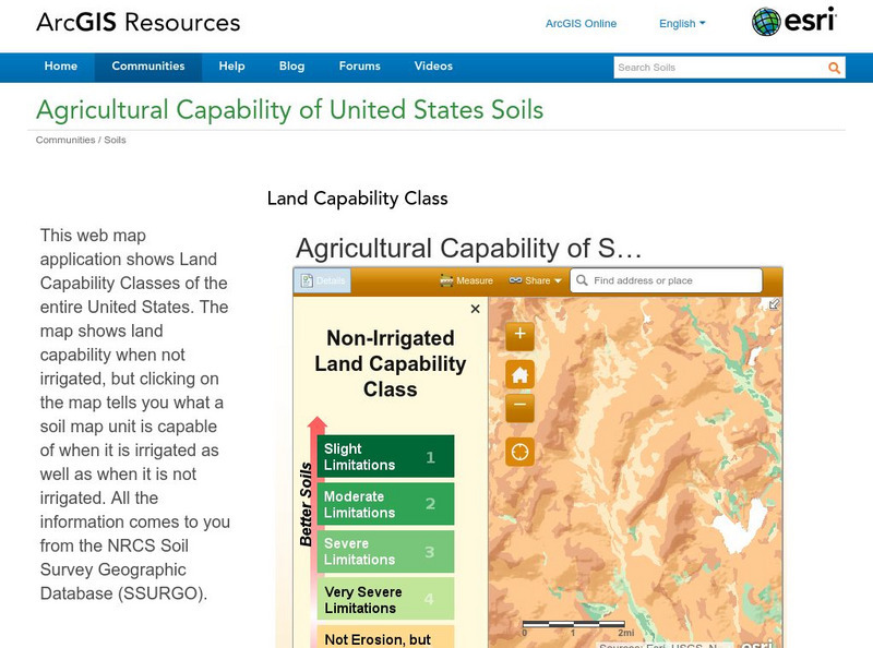
Esri: Arc Gis: Agricultural Capability of United States Soils
A sophisticated map tool that shows the capability of soils for agriculture, with or without irrigation, for the whole of the United States. Enter a location and a color coded map is shown, along with a key for interpreting it. The...
University of Regina (Canada)
University of Regina: Math Central: Central Tendency Activity
An Internet activity that creates data to be evaluated using statistics skills such as central tendency, data analysis, and graphing. The topic of the exercise is the average height of a student's class.


