Curated OER
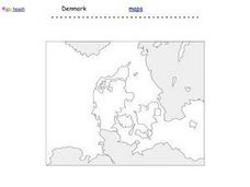
Denmark Outline Map
For this blank outline map worksheet, students explore the political boundaries of Denmark located in Europe. This map may be used in a variety of classroom activities.
Curated OER
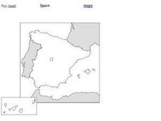
Spain Outline Map
In this blank outline map instructional activity, students explore the political boundaries of Spain located in Europe. This map may be used in a variety of classroom activities.
Curated OER
Making Maps
First graders create a map of their classroom that can be used to find a hidden treasure. They examine two- and three-dimensional objects and discover characteristics.
Curated OER
Identifying Watersheds with Topographic Maps
Students model a watershed and delineate one using topographic maps. For this hydrology lesson, students use aluminum foil to model a landscape and observe how water moves on it. They also observe the features of a topographic map and...
Curated OER
Creating a Map
Students create a map of their community. In this mapping lesson, students identify various geographical features and the cardinal directions on maps displayed in the classroom. Students are divided into three groups to create a large...
Curated OER
Africa Map Quiz
For this online interactive geography quiz worksheet, students examine the map that includes all of Africa's countries. Students match each of the country names to the appropriate locations on the map.
Curated OER
Southern Africa Map Quiz
In this online interactive geography quiz worksheet, students examine the map that includes 15 Southern African countries. Students match the names of the countries to the appropriate locations on the interactive map.
Curated OER
French and Indian War: Make A Map
Fifth graders create a map of the battles that occurred during The French and Indian War. In this history lesson plan, 5th graders read about the war in their text books, then divide into groups to create a detailed map of a famous...
Curated OER
Put Your Face on the Map
Learners investigate topography and contour lines by examining a human face. In this mapping lesson, students create a plaster cast of a face and create a map of the contours of the face one centimeter at a time. Learners examine the...
Curated OER
Vocabulary Word Map
In this vocabulary word map worksheet, students choose a word from a social studies text and write it in the center of the page. Students define it, write an antonym, use it in a sentence, and draw a picture.
Curated OER
Map Your House
Students are introduced to the concepts of maps as scale models of the whole. After a brief lecture on creating and using an accurate scale when drawing and reading a map. They create a scale drawing of the floorplan of their homes.
CSI Crime Lab: Classroom Edition
Participants use their observation skills, communication skills, and reasoning skills to perform forensic tests and solve a crime. This series of activities provides a first-hand (but scaled-down) introduction to careers in Forensic...
Curated OER
Mapping Los Angeles over Time
High schoolers read maps for chronological information in Los Angeles. They develop a multicultural chronology of Los Angeles.
Curated OER
United States Map
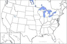
In this United States outline map worksheet, students make note of the political divisions of 50 states of the nation. This map may be used in a variety of classroom activities.
Curated OER
USA Map
In this United States political map worksheet, students examine state boundaries. The map may be used in a variety of classroom activities.
Curated OER
Mexico Map
In this blank outline map learning exercise, students study the political boundaries of the North American country of Mexico. This map may be used in a variety of classroom activities.
Curated OER
Central American Map
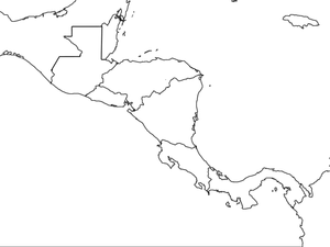
In this Central American political map worksheet, students examine the boundaries of this region of the world. The map may be used in a variety of classroom activities.
Curated OER
South America Outline Map
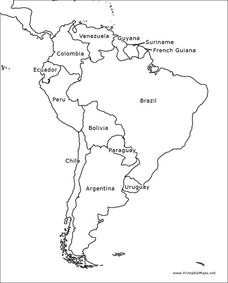
In this blank outline map worksheet, students explore the political boundaries of South America and the nations there. This map may be used in a variety of classroom activities. The map is labeled with the country names.
Curated OER
Mexico Outline Map 2
In this outline map worksheet, students discover and investigate the North American country of Mexico. This blank outline map may be used for a variety of classroom activities.
Curated OER
South America Outline Map
In this blank outline map worksheet, students explore the political boundaries of South America and the nations there. This map may be used in a variety of classroom activities. The location of the capital cities are denoted with...
Curated OER
Central America Map wtih Country Borders
In this blank outline map worksheet, students explore the political boundaries of Central America and the nations there. This map may be used in a variety of classroom activities.
Curated OER
Europe Map
In this blank outline map activity, students explore the political boundaries of the continent of Europe. This map may be used in a variety of classroom activities.
Curated OER
Blank Europe Outline Map
In this blank outline map instructional activity, learners explore the political boundaries of the continent of Europe and those of the countries located there. This map may be used in a variety of classroom activities.
Curated OER
Blank Europe Outline Map 2
In this blank outline map worksheet, students explore the political boundaries of the continent of Europe and those of the countries located there. This map may be used in a variety of classroom activities.
Other popular searches
- Map Making Classroom
- Create a Classroom Map
- Classroom Map Ideas
- Create Classroom Map
- Map of Classroom
- Creat Classroom Map
- Making a Classroom Map
- Construct Classroom Map
- Mapping the Classroom
- Mapping Your Classroom


