Curated OER
Tracking a Hurricane
Students use knowledge of what satellite imagery tells to create a descriptive hypothesis of the ground phenomenon during a hurricane.
Curated OER
Rainforests
Students watch a video about the rainforest and create a large wall mural of rainforest features. Students write a first person point of view article by an endangered rainforest animal and discuss logging.
Curated OER
Wetlands/Watershed Model
Students work together to create a watershed model. They discover the flow of surface water on different topography. They examine how materials originate from miles away and end up in a different wetland.
Curated OER
Graphing San Diego Tides
Students observe the tides in San Diego for one month. Using this information, they graph the tides on a chart along with the phases of the moon. They answer questions related to the graph to end the lesson.
Curated OER
Arsenic Globally
Students, using directed questions, identify five internet resources. They use these resources to identify relevant information by highlighting those sections that address the provided questions. Students present the answers to these...
Curated OER
Roaming Biomes
Students use the Internet to research the capabilities of earth-observation satellites. Using the information, they write a report on how remote-sensing technology is used to measure the impact of climate change. They identify the...
Curated OER
IDP Introduction
Fourth graders examine the three regions of North Carolina through class discussion of favorite places in the state and a review game based on the game of twister. The different colors on the twister sheet represent the different...
Curated OER
Sand, Sand, Everywhere Sand
Students study the physical characteristics of four types of desert regions. In this desert regions lesson, students watch a video about deserts and discuss the deserts. Students compare the deserts and research the ways humans have...
Curated OER
Breaking News English: The Year 2007 to be the Hottest Ever
In this English worksheet, students read "The Year 2007 to be the Hottest Ever," and then respond to 47 fill in the blank, 7 short answer, 20 matching, and 8 true or false questions about the selection.
Curated OER
Going for the Green
Students use satellite imagery to obtain information on chlorophyll concentration at selected locations in the Earth's oceans.Students explain the relationship between chlorophyll concentration and primary production.Studen
The World Bank
World Bank Group: Vietnam Coastal Wetlands Protection and Development Project
Understanding the culture of an area before giving aid is crucial. A slideshow and written explanation of mangrove replanting and other schemes designed to prevent severe coastal erosion in the Mekong provinces of Vietnam demonstrate the...
NOAA
Noaa: Ocean Facts on Coastal Development
Resource provides facts on Coastal Development as well as how it affects you.
American Institute of Biological Sciences
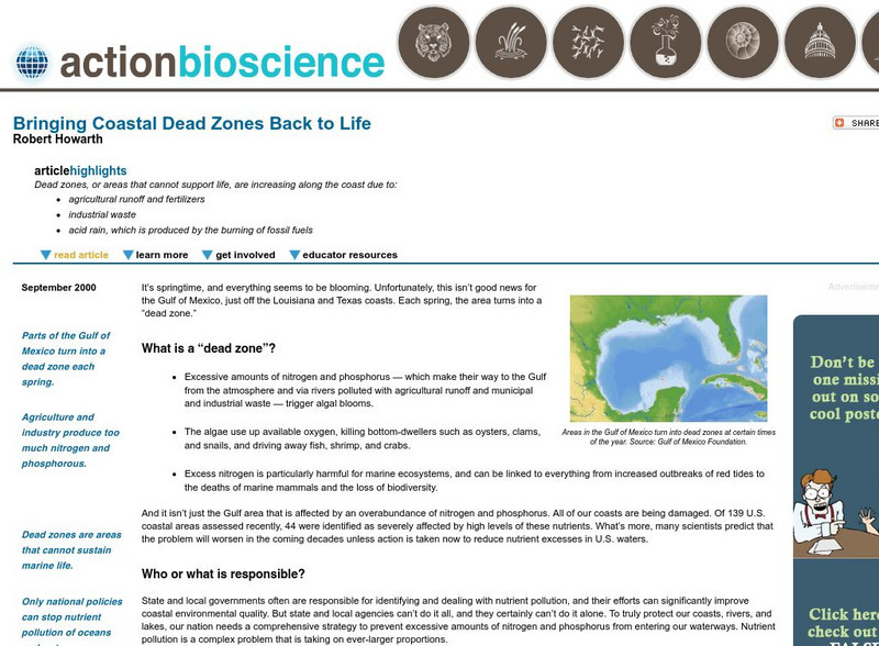
Action Bioscience: Bringing Coastal Dead Zones Back to Life
Increased amounts of nitrogen and phosphorous are leading to "dead" areas on our coastlines. Delve into the details and how to get involved with stopping this from happening.
Countries and Their Cultures
Countries and Their Cultures: Zaramo
"Wazaramo" is the preferred name for the people who live in the coastal area of Tanzania, in the vicinity of the capital city, Dar es Salaam. "Wazaramo" refers to the ethnic group, "Mzaramo" to an individual, and "Kizaramo" to the...
Encyclopedia of Earth
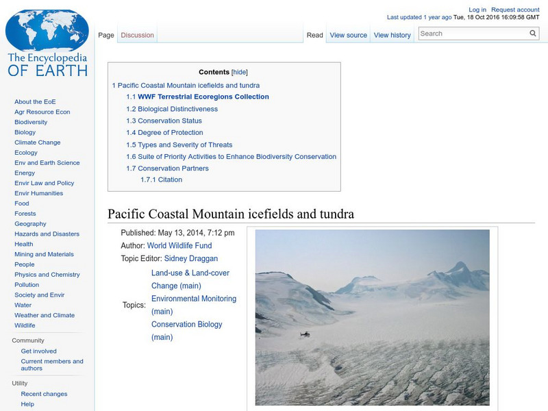
Encyclopedia of Earth: Pacific Coastal Mountain Icefields and Tundra
Describes the geography of this ecoregion, its biodiversity, its excellent conservation status, the parks and wilderness areas within its boundaries, potential threats, and organizations working to ensure its protection. (Updated August...
Other
Us Government: Restore the Gulf
Since the oil well has been shut down, attention turns to the restoration of the Gulf with regard to wildlife, the impact on the sea and coastal areas, travel and tourism, filing a claim for damages, and a return to normal life for...
Other
Coastal Navigation and Exploration of the Monterey Bay
This site details the information known about California before 1769 based on the account of six explorers.
Geographypods
Geographypods: Theme 2: Natural Environments
A rich collection of highly engaging learning modules on topics related to the natural environment. Covers four main areas - plate tectonics, forms and processes, weather and climate, and rainforest and desert. Within each of these,...
Other
Dalhousie University: Department of Oceanography
Find out more about Grad studies, classes, seminars in the area of oceanography and also see some amazing pictures.
Countries and Their Cultures
Countries and Their Cultures: Palestinians
Palestinians inhabit an area east of the Mediterranean Sea and south of Lebanon. The Jordan River, Lakes Huleh and Tiberias, and the Dead Sea separate Palestine from Jordan. Christians refer to Palestine as "the Holy Land." Today...
Nature Canada
Nature Canada: Common Murre
A fact sheet about the common murre, a Canadian bird that lives in coastal areas.
TeachEngineering
Teach Engineering: What Trickles Down?
Permeability is the degree to which water or other liquids are able to flow through a material. Different substances such as soil, gravel, sand, and asphalt have varying levels of permeability. In this activity, students will explore...
Australian Broadcasting Corporation
Australian Broadcasting Corporation: Chile Earthquake: Christmas Day Quake Forces Evacuations
Southern Chile is rattled by a magnitude-7.6 earthquake, forcing thousands of people to evacuate coastal areas.
Countries and Their Cultures
Countries and Their Cultures: Mande
"Mande" is a term that has been used to identify the culture that embraces the western third of Africa's great northern savanna and coastal forests. The Mali Empire was the source of the Mande diaspora; therefore, in a broad sense,...


