Virginia Trekkers
Virginia Trekkers
Travel Virginia with the Virginia Trekkers, a group of hardy teachers, as they trek around the beautiful State of Virginia! Virtually visit areas of geological and historical significance across the five regions: Appalachian Plateau,...
Countries and Their Cultures
Countries and Their Cultures: Jews of the Middle East
Prior to 1948, Jewish communties were found discontinuously in an area stretching from southwest Asia across North Africa, from Tajikistan and Uzbekistan in the north to Yemen in the south, and from Afghanistan in the east to Morocco in...
Other
Cartage: Salt Marsh Habitats
This resource provides a thorough examination of salt marshes and the grasses, plant species, and animal species that inhabit these areas.
Australian Museum
Australian Museum: Mammals of Sydney Harbour
Engaging site which covers some of the 40 species of mammals that live in Australia. Get quick interesting information on rodents, marsupials, bats and marine mammals that live in the Sydney Harbour area of Australia.
US Senate
Us Senate Committee Commerce, Science and Transportation
The Senate Committee on Commerce, Science and Transportation has jurisdiction over several areas. Come and find out more about this powerful committee by checking out this resource.
Curated OER
Belizenet.com: Coastal Treasures of Belize
This site details the marine ecosystems Belize has. Their is additional information on protected areas and endangered species.
Curated OER
Satellite Image of Coastal Zone
This site details the marine ecosystems Belize has. Their is additional information on protected areas and endangered species.
Other
Ny Dec: Estuary Management Programs
Site from NY DEC gives general information on estuaries and their ecological importance to the NY and NJ coastal areas. Gives more specific information on the Peconic Estuary and the New York/New Jersey Harbor Estuary, with a focus on...
NSTATE
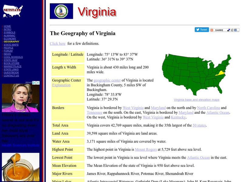
Netstate.com: The Geography of Virginia
Find a variety of facts about the geography of Virginia: geographic center, total area, elevations, and much more.
Travel Document Systems
Tds: Mozambique: Geography
A graphic showing the various aspects of the physical environment of Mozambique including its area, climate, terrain, and natural resources. Information is from the CIA World Fact Book.
Columbia University
Nasa: Sedac: Population, Landscape, and Climate Estimates
[Free Registration/Login Required] A huge resource for researchers without GIS capabilities who need data on population and land area by country across a range of physical characteristics. These include measures such as the number of...
Curated OER
Educational Technology Clearinghouse: Maps Etc: New South Wales, 1911
A map from 1911 of New South Wales in Australia showing cities, railways, rivers, mountains, and coastal features. An inset map details the coastal area around Sydney from Newcastle to Albion Park.
Curated OER
Educational Technology Clearinghouse: Maps Etc: United States, 1906
A map from 1906 of the continental or 'lower forty-eight’ United States showing state boundaries and state capitals, major cities and towns, mountain systems, lakes, rivers, and coastal features. Inset maps show the entire North American...
Curated OER
Etc: Roanoke Island, Jamestown, and St. Mary's, 1584 1632
A map of the Chesapeake Bay and Pamlico Sound area showing the initial Virginia Colony established by Sir Walter Raleigh and Queen Elizabeth I in 1584 through the European settlements established by 1634, including Roanoke Island,...
Curated OER
Etc: Maps Etc: Native Territories and European Possessions in Africa, 1876
A map of Africa in 1876 showing native African States and European possessions of Britain, France, Spain and Portugal prior to the Berlin Conference of 1885. On this map, European possessions include Algeria, Cape Colony, Griquala Land...
Curated OER
Etc: Maps Etc: Italia Up to the Time of Augustus, 27 Bc
A map of Italy prior to the ascension of Augustus Caesar in 27 BC. The map shows the Roman territories of the peninsula south of the Alps and east of the River Varus (Var), and includes the islands of Corsica, Sardinia, and Sicily, the...
Curated OER
Etc: Maps Etc: Rome and Carthage at the End of the First Punic War, 241 Bc
A map of Rome and Carthage at the end of the First Punic War (264-241 BC). This map is color-coded to show the extent of the Roman Empire in yellow and the Carthaginian territory in pink. By the end of the First Punic War, the Roman...
Curated OER
Etc: Maps Etc: Heat Belts in North America, 1898
A map from 1898 showing the heat belts in North America. The map gives the boundary isotherms of the hot belt as a mean temperature of 70 degrees Fahrenheit and the cold belt as a mean temperature of 30 degrees Fahrenheit, indicating the...
Countries and Their Cultures
Countries and Their Cultures: Afar
The Afar occupy an area of Djibouti and northeastern Ethiopia, sometimes called the Afar Triangle. There is a long history of hostility between the Afar and the surrounding groups; the Afar are often considered fierce and warlike. The...
Other
Reef Base
This is a database on coral reefs where you can access coral reef data, take quizzes on corals, view images, get maps of reefs and more.
Curated OER
Educational Technology Clearinghouse: Maps Etc: South China, 1971
"South China comprises the drainage basins of the middle and lower Yangtze River, the basin of the His Chiang (West River) in Kwangtung and Kwangsi; and the mountainous coastal provinces of Fukien and Chekiang. The division between the...
Curated OER
Etc: Maps Etc: Relief of the United States, 1904
A relief map from 1904 of the United States showing the mountain systems and highlands, plateaus, plains, lakes, rivers, and coastal features. This map divides the area into the main groups of the St. Lawrence Basin, Allegheny Region,...
Curated OER
Etc: Maps Etc: Physical Features of Europe, 1901
A map from 1901 of Europe, showing the physical features of the region. This map is color-coded to show general elevations from sea level to over 6,500 feet, mountain systems, drainage divides, lakes, rivers, coastal features, and the...


