Curated OER
Long Island Sound - A Research Skill Approach
Eighth graders examine the characteristic of Long Island Sound. In groups, they use the internet to describe how the Sound formed and what environmental changes have altered it. They also discover what humans have done to affect the...
Curated OER
Thermal Expansion
Students examine how thermal expansion of water can affect sea level. They conduct an experiment that demonstrates what happens to water levels when exposed to heat, record the results on a data sheet, and discuss the results.
Curated OER
Biological Sciences
Young scholars examine biodiversity and interrelatedness concepts. In this ecology lesson students go on a field trip and fill out a data sheet.
Curated OER
Birds
Students list marine birds in their area and report on the threats made to these species. In this marine life lesson students compare bird count data and argue either for or against its accuracy.
Curated OER
Images of Katrina
High schoolers use maps and online data to find specific geographic areas. In hurricane Katrina lesson plan students use aerial photographic imagery to see some impacts of hurricane Katrina.
Curated OER
Getting Thirsty?
Students explore the concept of drought and its significance as a natural hazard. For this drought lesson plan, students complete 13 questions on an "Introduction to Drought as an Ecosystem Stressor" worksheet and discuss the responses...
Curated OER
WorldWatcher Activity: Using Data to Investigate Issues and Solutions
Students use the WorldWatcher program to identify the issues affecting their country they have been using for these activities. In groups, they identify each issue and identify the solution or develop their own. They present their...
Curated OER
Are You Getting Thirsty?
Students study droughts and how they affect communities and coastal ecosystems. In this ecosystems lesson students use data to examine drought conditions in certain areas.
Curated OER
Countries w/ Longest Coastlines Quiz
In this online interactive geography quiz learning exercise, learners respond to 20 identification questions about world countries with the longest coastlines. Students have 4 minutes to complete the quiz.
Curated OER
Hurricanes in History:
Students interpret data displayed in a graph, make inferences based on graphical data. They work in pairs or groups to interpret graphs containing historical data of hurricanes, and then answer questions that assess their understanding...
Curated OER
When is Dinner Served? Predicting the Spring Phytoplankton Bloom in the Gulf of Maine (College Level)
Students are able to explain the ecological importance of phytoplankton. They describe the components that influence a phytoplankton bloom. Students interpret satellite images in order to correlate buoy data.
Curated OER
Roaming Biomes
Students use the Internet to research the capabilities of earth-observation satellites. Using the information, they write a report on how remote-sensing technology is used to measure the impact of climate change. They identify the...
Curated OER
Hydrology: Flood Mitigation
Twelfth graders discuss the different factors that can contribute to major floods. In this ecology lesson, 12th graders analyze collected rainfall data. They complete a scavenger hunt after the lesson.
Curated OER
Hydrology: Flood Mitigation
Twelfth graders discuss the factors that affect flooding. In this environmental science lesson, 12th graders analyze rainfall data about flooding. They complete a scavenger hunt worksheet using the internet.
Curated OER
Tides - The Ins and Outs of Tides
Get your junior oceanographers to generate tidal prediction graphs on an interactive website. They will feel like experts in the field, or shall we say, experts in the ocean! This is a brief, but worthwhile activity that could be used to...
Curated OER
Time, Tide, and Quahogs
Students read tide tables for Waquoit Bay as the simulate determining the best time to go clam digging for a Wampanoag clambake. They graph the tide tables while realizing that the tides a Waquoit Bay are one hour later than those at...
Curated OER
Flame Test
Students conduct a flame test on different substances. For this chemistry lesson, students predict the element present based on the color emitted during the flame test. They explain how different elements produce different colors.
Michigan Sea Grant
Environmental Decision Making
Pupils participate in a board game activity in which landing on a space called "Decision Card" presents them with a land-use situation to consider and decide how to act. In order to advance in Hydropoly, players must think critically and...
Curated OER
Meteorologist for the Day
Fourth graders examine the symbols used on weather maps. They analyze a newspaper weather forecast and identify and discuss the various symbols used on the map. Next, they prepare a weather map for their own city using the symbols...
Columbia University
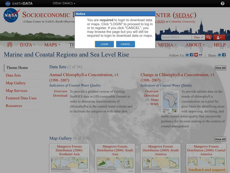
Nasa: Sedac: Marine and Coastal Regions and Sea Level Rise
[Free Registration/Login Required] A collection of fifteen data sets from SEDAC (Socioeconomic Data and Applications Center) that examine the impact rising sea levels is having on marine and coastal regions. They look at mangrove...
US Geological Survey
Usgs: Earth Surface Dynamics (Research Activities)
This site from USGS provides several activities to help understand the interrelationships among earth surface processes, ecological systems, and human activities. Also included are links to new findings and programs concerning Earth...
Science Education Resource Center at Carleton College
Serc: Lab 6: And on His Farm He Had Some Fish
A lab experiment in a series of experiments that investigates fisheries. In this particular lab, students learn about the aquaculture methods by analyzing FAO aquaculture data. They will also investigate the change to coastal landscapes...
Science Education Resource Center at Carleton College
Serc: California Climate and the Atmosphere
In this 3-part instructional activity, young scholars explore California climate and factors that are leading to changes within this climate system. Students begin by exploring California's climate and the state's topography. Next, they...


