Khan Academy
Khan Academy: Mutual Attraction
A JavaScript coding of forces where every object in a given system attracts every other object in that system (except for itself).
World History Encyclopedia
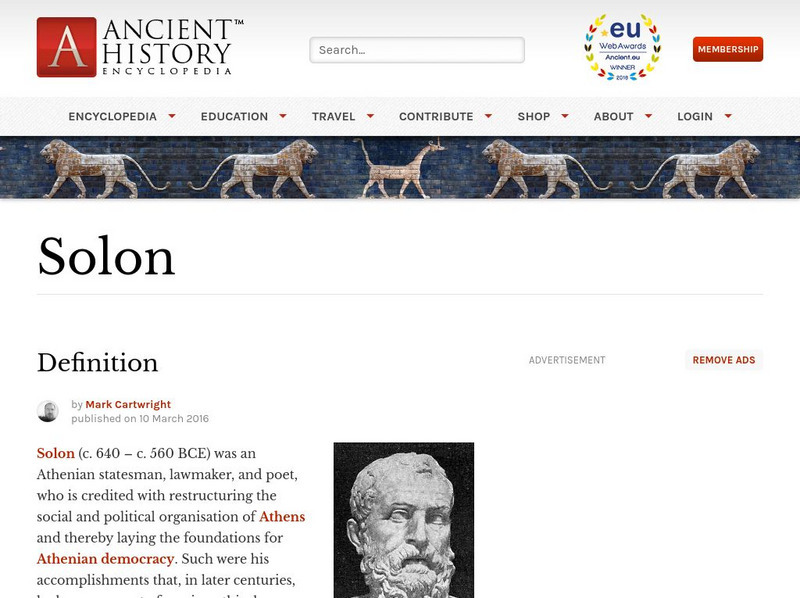
World History Encyclopedia: Solon
Read about the life of Solon, one of the founders of Athenian democracy. Among the challenges he tackled were a serious debt problem among the less affluent, restructuring the social system, and developing a new law code.
Thomson Reuters
Find Law: u.s. Supreme Court: In Re Gault (1967)
Full court transcript of 1967 U.S. Supreme Court case involving a juvenile, Gerald Gault.
Other
Stat Soft: Statistics Glossary
Dozens of statistical terms are defined and illustrated in this glossary.
TeachEngineering
Teach Engineering: Gps on the Move
During a scavenger hunt and an art project, learners learn how to use a handheld GPS receiver for personal navigation. Teachers can request assistance from the Institute of Navigation to find nearby members with experience in using GPS...
Travel Document Systems
Tds: Mauritius: History
Read the interesting history of Mauritius from its colonization by the Dutch in the 17th century to its independence in 1968. Information is from the U.S. State Dept. Background Notes.
Travel Document Systems
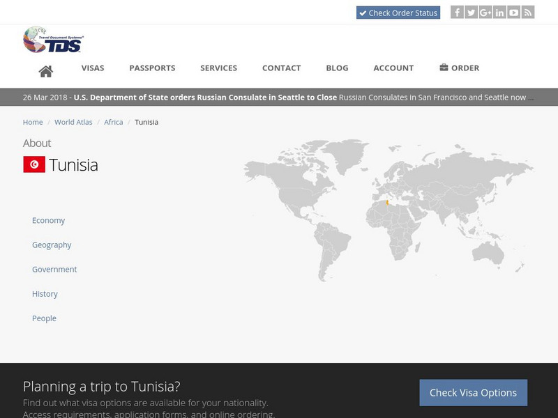
Tds: Tunisia: Government
A thorough look at the government and politics in Tunisia. You can learn about the branches of government, political parties, and reforms. Particularly interesting is Tunisia's support for women's rights. Information is from the U.S....
US Senate
Joint Economic Committee
The Joint Economic Committee, composed of memebers from both the United States Senate and the House of Representatives, reviews economic conditions and recommends improvements in economic policy. The content of the website includes...
Careers New Zealand
Career Nz: Electrician
This site contains information about becoming an Electrician in New Zealand. While some of the information is specific to New Zealand, there is also data that is uniform to the career.
Math Is Fun
Math Is Fun: Binary Fingers!
Learn how to count in binary using just your fingers and how this skill can help you in arithmetic. Includes a set of practice questions.
Other
Isoc: All About the Internet Internet Issues
As the Internet continues to grow, the issues that confront its stable, beneficial evolution increase in number and complexity. Here, the Internet Society presents links to information on a variety of Internet issues including copyright,...
Other
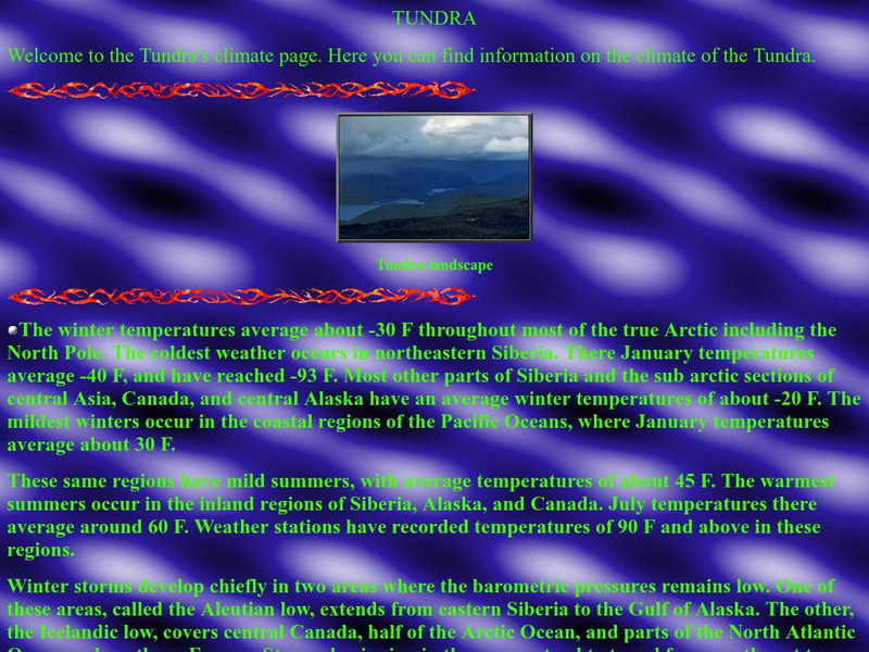
Thurston High School: The Tundra Climate
Site discusses and analyzes the daily weather in the tundra. Provides a map of the world that is color-coded to show the different biomes and systems of the world.
Curated OER
Etc: Maps Etc: Orographic Chart of North America, 1891
An orographic map from 1891 of North America showing the principal mountain systems, rivers, and terrain features of the region. The map is coded to show high lands and mountain regions, and shaded regions of plains, with dark lines...
Curated OER
Educational Technology Clearinghouse: Maps Etc: South America, 1885
An orographic map of South America from 1885 showing the primary mountain systems and general elevations. The map is color-coded to show highlands in buff tint, lowlands in green, and the major mountain chains with heavy black lines. The...
Curated OER
Etc: Maps Etc: Physical Map of South America, 1901
A map from 1901 of South America showing the general physical features including mountain systems, prominent peaks and volcanoes, river and lake systems, plateaus, and coastal features. The map is color-coded with the highlands above...
Curated OER
Etc: Maps Etc: Physical Map of South America, 1902
A map from 1902 of South America showing the general physical features including mountain systems, prominent peaks and volcanoes, river and lake systems, plateaus, and coastal features. The map is color-coded with the highlands above...
Curated OER
Etc: Maps Etc: Orographical Map of South America, 1911
An orographic map of South America from 1911 showing the primary mountain systems and general elevations, and major river systems. The map is color-coded to show elevations from sea level to over 12000 feet, with highlands in buff tints...
Curated OER
Thurston High School: The Tundra Climate
Site discusses and analyzes the daily weather in the tundra. Provides a map of the world that is color-coded to show the different biomes and systems of the world.
Curated OER
Educational Technology Clearinghouse: Maps Etc: Nile, 1903
This is a highly detailed map of the Nile River basin from the Tropic of Cancer south to the river's source at Victoria Nyanza (Lake Victoria). This map shows both the Blue Nile and White Nile river systems in 1903. Major cities, trade...
Curated OER
Educational Technology Clearinghouse: Maps Etc: Africa, 1901
A map from 1901 of Africa showing political boundaries and capitals, principal cities and towns, mountain systems, rivers, lakes, and coastal features. The map is color-coded to show the European possessions of the British, French,...
Curated OER
Educational Technology Clearinghouse: Maps Etc: Elevations of Africa, 1906
A map of the African continent showing general color-coded elevations, including areas below sea level in purple, lowlands in green, elevations above 1,000 feet in buff, and elevations over 4,000 feet in red. Political divisions of the...
Curated OER
Educational Technology Clearinghouse: Maps Etc: Natural Regions of Africa, 1920
A map from 1920 of Africa and Madagascar showing principal physical features and natural regions. The map is color-coded to show lowlands, uplands and plateaus, the Kongo basin, the older, worn down mountains, and young, rugged...
Curated OER
Etc: Maps Etc: Political and Physical Africa, 1901
A map from 1901 of the political and physical features of Africa. The map uses color-contouring to show highlands above 2000 feet in buff tints, lowlands in greens, and the submerged part of the continental plateau in light blue. The map...
Curated OER
Educational Technology Clearinghouse: Maps Etc: Physical Asia, 1882
A map from 1882 showing the physical features of Asia. This map is color-coded to show high lands in buff tints and low plains in green. Mountain systems, tablelands, and plains are shown, as well as major rivers, lakes, and coastal...


