Hi, what do you want to do?
Curated OER
Albert Schweitzer: Darkness And Light
Students view a documentary which examines the life and work of Albert Schweitzer. Specifically, it explores the controversy surrounding Schweitzer. Darkness and Light would be useful for classes on World History, African History and...
History Teacher
Historyteacher.net: Global Studies: European Colonialism in Africa Quiz (1)
Eleven-question multiple choice quiz is immediately scored and provides review of European colonialism in Africa in the 19th century.
History Teacher
Historyteacher.net: Global Studies: European Colonialism in Africa Quiz (2)
11-question multiple choice quiz is immediately scored and covers European colonialism in Africa.
BBC
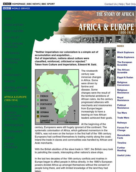
Bbc: Africa & Europe (1800 1914)
Part of the BBC's "Story of Africa" series, this article covers 19th century exploration and colonization. Archived.
The Newberry Library
Newberry: Aphra Behn's Oroonoko: Slavery and Race in the Atlantic World
Newberry Library lesson using digitized primary source explores how Aphra Behn's novel, Oroonoko, compares to other representations of race, slavery, and colonialism in the seventeenth and eighteenth centuries. Questions to consider are...
Countries and Their Cultures
Countries and Their Cultures: Asians of Africa
The Asian population of Africa is a small but significant minority. Whereas there have been Asians, primarily merchants, who lived on the east coast of Africa for hundreds, if not thousands, of years, a great influx of Asians came to...
University of Pennsylvania
University of Pennsylvania: French in West Africa
This site has historical information about West Africa and the French colonial presence in the 19th and 20th Centuries.
University of Iowa
University of Iowa: Arts and Life in Africa: Sierra Leone
A record of statistics concerning modern day Sierra Leone, up to 1998. Scroll down to history section to see a brief, but informative description of pre-colonial and post-colonial history for Sierra Leone.
Wikimedia
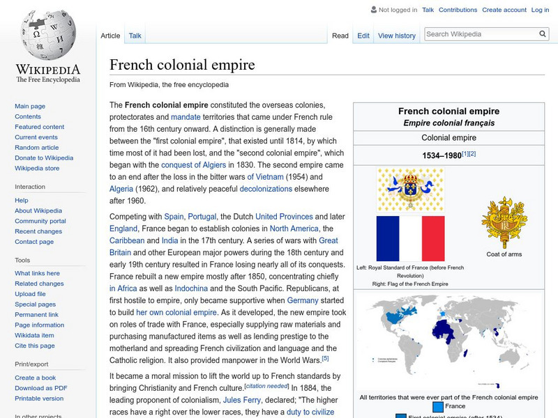
Wikipedia: French Colonial Empire
A history of the French colonial empire from their efforts in Africa to those in southeast Asia. The article discusses the First French Empire in the New World, and the attempts to establish colonies during the Imperialism period of the...
Other
Read Works: West Africa: Introduction to West Africa [Pdf]
An informational text about the history of West Africa. A question sheet is available to help students build skills in reading comprehension.
Northwestern University
Northwestern University: Collection of East African Photographs: 1860 1960
View a sample of a vast collection of photographs taken in East Africa between 1860 and 1960 that is a great resource for documenting all aspects of African life.
Gilder Lehrman Institute of American History
Gilder Lehrman Institute: History Now: African Immigration to Colonial America
An interesting essay on the forced migration of Africans to America by way of the Middle Passage. Read where the slaves were off-loaded, how the population of slaves increased, and the inhumanities inflicted on the slaves both on the...
Smithsonian Institution
National Museum of Natural History: African Voices: History
Trace Africa's history from the earliest humans to modern times using this thematic timeline. Learn about African trade, religion, empires, and technology. Vibrant pictures are included for each time period showcasing the African culture.
Columbia University
Edward Wilmot Blyden
The life and work of E.W. Blyden (1832-1912 CE), one of the main leaders in the Pan-Africanism movement in Africa.
British Library
British Library: Discovering Literature: African Writers and Black Thought in 18th Century Britain
This article describes how four writers, taken from Africa as children and sold into slavery, grew up to write works that challenged British ideas about race, called for African brotherhood, and demanded the abolition of the slave trade.
Other
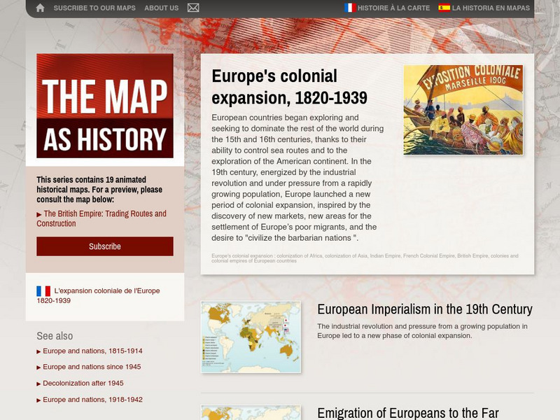
The Map as History: Europe's Colonial Expanision 1820 1939
European countries began exploring and seeking to dominate the rest of the world during the 15th and 16th centuries, thanks to their ability to control sea routes and to the discovery of the American continent. In the 19th century,...
PBS
Pbs: Africans in America: Part 1: The Growth of Slavery in North America
Focuses on slavery in North America, the worry about uprisings, and slavery's economic impact. Links to related information.
United Nations
United Nations: Cartographic Section: The World in 1945 [Pdf]
Find out what the political world map looked like after World War II in 1945. Enlarge the map so you can see what countries belonged to the UN, which were still dependent territories, and which did not belong to the UN.
University of Iowa
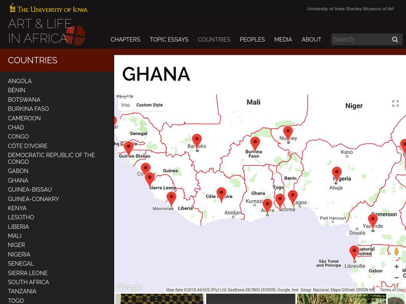
University of Iowa: Arts and Life in Africa: Ghana (The Gold Coast)
A record of statistics for modern-day Ghana, up to 1998. The history section near the end provides a brief, but informative look at British control of Ghana.
University of Pennsylvania
University of Pennsylvania: History of Kenya
Mainly an article concerning Kenyan independence, there is a brief section about colonial rule in the 1800s.
Black Past
Black Past: Council on African Affairs
This encyclopedia article talks bout the Council on African Affairs which dealt with the correlation of the struggle of African Americans and the colonial problems in Africa. It was supported by many civil rights activists of the time.
University of Minnesota
University of Minnesota: Immigration: Racial Encounters in Colonial America
Copper plate engravings offer one example of the racialization of colonized peoples. At the turn of the 17th century, most Europeans' visual conceptions of the Americas came from the engravings of the workshop of Flemish print-maker...
Curated OER
Etc: Maps Etc: Pre Colonial Central Africa, 1883
A map of central Africa in 1883, prior to the Berlin Conference when European powers established their colonial territories on the continent.
Curated OER
Educational Technology Clearinghouse: Maps Etc: Colonial West Africa, 1920
Map of Western Africa in 1920 showing the Upper Guinea States of Gambia, Portuguese Guinea, Sierra Leon, Liberia, British Gold Coast, Togo, Dahomey, Northern and Southern Nigeria, Kamerun, and Spanish Guinea. The map also shows the...


