Hi, what do you want to do?
Curated OER
Etc: Maps Etc: Colonial Southern Africa and Madagascar , 1906
Map of Southern Africa and Madagascar in 1906 showing the European land claims established at the Berlin Conference of 1885 from approximately the Equator south to the Cape of Good Hope.
Open Door Team
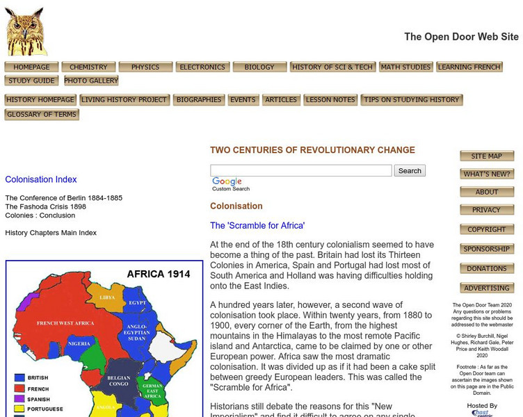
Open Door Web Site: The Scramble for Africa: Germany
Briefly describes the limited role Germany had in the scramble for African territories. A link to a map of colonial holdings during this period of New Imperialism is included.
University of Oxford (UK)
Pitt Rivers Museum: Robert Hottot's Expedition to Central Africa, 1908 09
An online exhibition which documents a scientific expedition up the Congo river in the early 1900s. You can view the complete photos, documents, and equipment by clicking on the left side navigation bar.
Other
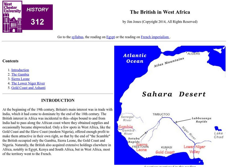
West Chester University: The British in West Africa
The author examines the various areas in West Africa that were colonized by the British during the 19th century. He also examines British reasons for their imperialistic activities.
University of California
The History Project: South African Diamond Mines, 1870s
The Dutch East India Company established a colony at the Cape of Good Hope in 1652 and administered it until 1795 when it fell into British hands. The British returned Cape Colony to the Company for a three-year period before finally...
Other
Map: Africa in the Early Twentieth Century: Homepage
An excellent map identifying the colonial powers controlling each area of Africa from 1912 through 1930.
Countries and Their Cultures
Countries and Their Cultures: Kongo
The BaKongo, numbering three to four million, live in west-central Africa The unitary character of the Kongo group and the identity of the various subgroups are artifacts of colonial rule and ethnography. Most men and many women work, or...
University of Oregon
Mapping History: African History
Interactive and animated maps and timelines of historical events and time periods in the history of Africa as it went through the colonial rule to reach independence.
CommonLit
Common Lit: Book Pairings: "Things Fall Apart" by Chinua Achebe
Selected (12) reading passages (grades 6-11) to pair with "Things Fall Apart" by Chinua Achebe. In this classic novel, Okonkwo, a wealthy and respected member of the Umuofia clan, resists the forces of change brought to Africa by...
Travel Document Systems
Tds: Guinea Bissau: History
Read about the history of Guinea-Bissau as part of the Portuguese colonial empire. Follow its fits and starts in developing a democratic government after is independence. Information is from the U.S. State Dept. Background Notes.
Sophia Learning
Sophia: African Unity Activity
Students will be able to discuss and debate current issues for a specific African country, then develop solutions to these issues by participating in a simulation of a meeting of the Organization of African Unity (OAU).
PBS
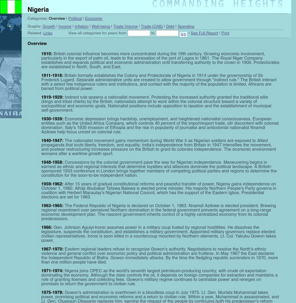
Pbs: Commanding Heights: Nigeria, an Overview
Brief timeline of Nigerian history in the twentieth century, from the PBS series "Commanding Heights: The Battle for the World Economy." Includes timeline entries related to independence, which was achieved in 1960.
Curated OER
Educational Technology Clearinghouse: Maps Etc: Pre Colonial Africa, 1872
A map of Africa showing the continent prior to the Berlin Conference of 1885, when the most powerful countries in Europe at the time convened to make their territorial claims on Africa and establish their colonial borders at the start of...
Curated OER
Etc: Maps Etc: Africa Before the Berlin Conference, 1884
This is an interesting map of Africa showing the continent before the Berlin Conference of 1885, when the most powerful countries in Europe at the time convened to make their territorial claims on Africa and establish their colonial...
Curated OER
Etc: Maps Etc: Africa Before the Berlin Conference, 1882
A map of Africa as it was known in 1882 before the Berlin Conference of 1885, when the most powerful countries in Europe at the time convened to make their territorial claims on Africa and establish their colonial borders at the start of...
Open Door Team
Open Door Web Site: France in Western Africa
A brief explanation of French imperialist desires and holdings in Western Africa.
PBS
Pbs Learning Media: Primary Source Set: The Colonies: Motivations and Realities
A collection of primary sources to explore the motivations and realities behind life in the American colonies.
Countries and Their Cultures
Countries and Their Cultures: Xhosa
"Xhosa" is the generic name used for a number of related cultural groups in South Africa. Xhosa groups include the Mpondo, Bomvana, Bhaca, Thembu, Mpondomise, Xesibe, Mfengu, Hlubi, and the Xhosa proper. These Southern Nguni peoples, as...
Countries and Their Cultures
Countries and Their Cultures: Chagga Kinship
In the nineteenth century the Kichagga-speaking people on Mount Kilimanjaro were divided into many small, autonomous chiefdoms. Early accounts frequently identify the inhabitants of each chiefdom as a separate "tribe." Although the...
Countries and Their Cultures
Countries and Their Cultures: Pende
The Pende occupy a territory that extends from the banks of the Lutshima, a tributary of the Kwilu, to the Kasai. The last colonial census (1959) indicated that there were 200,000 western Pende and another 40,000 Pende in Kasai, the...
Siteseen
Siteseen: Land of the Brave: Triangular Trade
Article on triangular trade in Colonial America explores routes (England to Africa to the Americas and back to England), the exchange of goods, and Slave Trade. A chart shows the goods traded by the Thirteen Colonies.
Khan Academy
Khan Academy: Us History: 1491 1607: African Societies and Atlantic Slave Trade
The beginning of the Atlantic slave trade uprooted previously established societal norms in West Africa.
Massachusetts Institute of Technology
Mit: Open Course Ware: European Imperialism: Nineteenth and Twentieth Centuries
Access university-level course materials compiled for course on European imperialism.
Curated OER
Educational Technology Clearinghouse: Maps Etc: Pre Colonial Africa, 1885
A map of the African continent prior to the Berlin Conference of 1885, when the most powerful countries in Europe at the time convened to make their territorial claims on Africa and establish their colonial borders at the start of the...


