Other
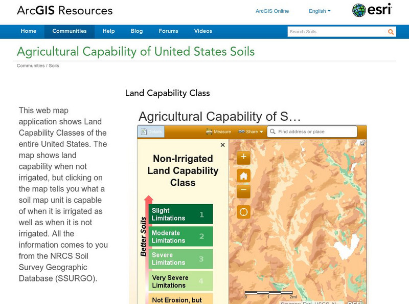
Esri: Arc Gis: Agricultural Capability of United States Soils
A sophisticated map tool that shows the capability of soils for agriculture, with or without irrigation, for the whole of the United States. Enter a location and a color coded map is shown, along with a key for interpreting it. The...
University of Richmond
American Panorama: Mapping Inequality Redlining in New Deal America
Redlining is the act of making it difficult or impossible for people in certain areas to access mortgage financing and thus become homeowners. In between 1935-1940 the Home Owners' Loan Corporation staff members assigned grades to...
Other popular searches
- Color Coding Sums
- Color Coding Sentences
- Energy Pyramid Color Coding
- Color Coding Jerseys
- Color Coding States
- Color Coding Maps
- Color Coding a Picture

