Hi, what do you want to do?
Curated OER
Educational Technology Clearinghouse: Maps Etc: Denver and Vicinity, 1922
A map from 1922 of the Denver area showing county boundaries, railroads, and neighboring cities and towns.
PBS
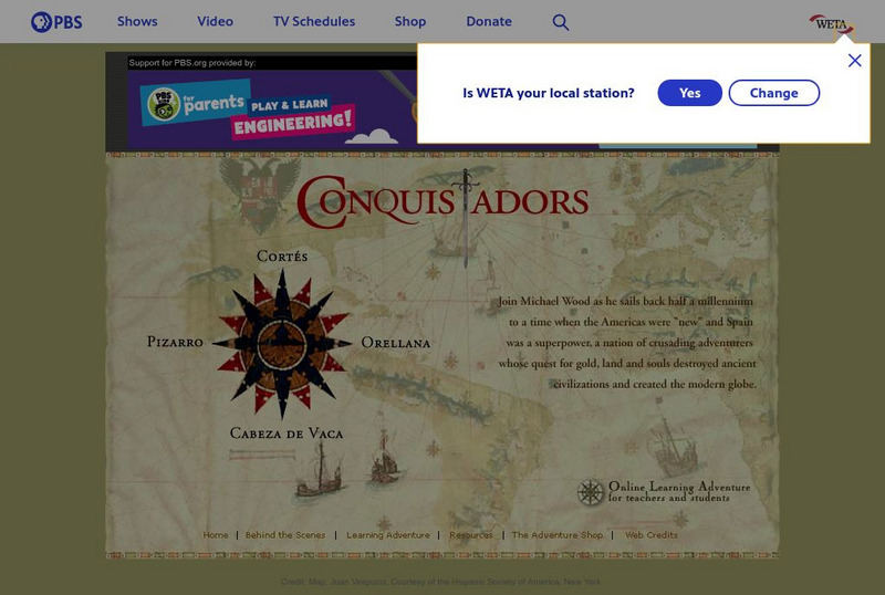
Pbs: The Conquistadors
A huge website that provides a virtual field trip exploring the Spanish adventurers who quested for gold and land in the New World. The site has information on Pizarro, Orellana, Cabeza de Vaca, Cortes as well as extensive information...
A&E Television
History.com: The States
Learn unique facts about each American state. You can also read a more in-depth history of each state, watch videos and play a game about all the states.
Other
Gilman Park Arboretum
This resource contains general inforamtion about the Gilman Park Arboretum in Pierce, Nebraska.
Curated OER
Educational Technology Clearinghouse: Maps Etc: Nebraska, 1903
A map from 1903 of Nebraska showing county borders, cities and towns, rivers, and railroads. This map also shows the rock types in the state. "Nebraska, a central State of the American Union, lies between 40 degrees and 43 degrees N....
Curated OER
Educational Technology Clearinghouse: Maps Etc: Nevada, 1903
A map from 1903 of Nevada showing counties and county seats, principal cities and towns, mountain ranges, and rivers. "Nevada, one of the most western of the States of the American Union, was formed from a portion of the territory...
Curated OER
Educational Technology Clearinghouse: Maps Etc: Colonial Africa, 1899
Map of Africa in 1899 showing the colonial possessions of European powers on the continent established at the Berlin Conference of 1885. This map shows major cities and trade centers, railroad routes and canals, major river systems, and...
Curated OER
Educational Technology Clearinghouse: Maps Etc: Asia, 1899
A map of Asia from 1899 showing country boundaries at the time, foreign possessions, capitals and major cities, rivers, canals, lakes, deserts, terrain, and coastal features. This map shows the principal railways and caravan routes of...
Curated OER
Educational Technology Clearinghouse: Maps Etc: The Dominion of Canada, 1899
A map from 1899 of the Dominion of Canada and Newfoundland (Newfoundland and Labrador were not part of the Canadian Confederation until 1949), showing the provinces at the time, provincial capitals, major cities, towns, and settlements,...
Curated OER
Educational Technology Clearinghouse: Maps Etc: North America, 1899
A map from 1899 of North America, Central America, and the Caribbean showing national boundaries, capitals and major cities, terrain, lakes, rivers, and coastal features. The map shows longitude from Greenwich at the top of the map, and...


