Aunt Annie's Crafts
Square Petal Envelopes
Imagine making square envelopes out of circles. Yep, all you need are paper, scissors, a compass, and some glue. Kids explore the possibilities of geometric shapes with this activity.
Curated OER
Compass Rose: Dance and Quilt
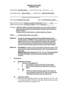
Fourth graders identify the cardinal directions by listening to a song entitled, "Stand," and by reviewing the lyrics to that song. They notice the cardinal directions that are posted around the classroom. They perform the motions as...
Curated OER
Using a Compass Rose
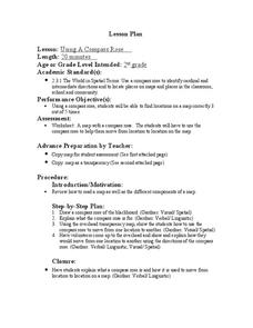
Second graders practice navigating around their neighborhood by utilizing a compass. In this geography lesson, 2nd graders view a compass rose, discover the purpose of it, and utilize it to navigate through a printed map of their...
Curated OER
George Washington Teaches Map Directions
Learners follow teacher given directions, either oral or written to plot points on a grid to create a profile of George Washington. They apply cardinal and ordinal directions to find the points on the grid.
Curated OER
Using a Compass Rose
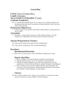
Second graders explore geography by completing a mapping activity in class. In this directional lesson, 2nd graders examine a map in class and utilize a compass rose to identify their location and destination. Students write directions...
Curated OER
Cardinal Directions
Young scholars discover cardinal directions through the use of digital cameras, compasses, and file folders in this technology-based lesson for early elementary students. Emphasis is placed on student practice and inquiry.
Metropolitan Museum of Art
Islamic Art and Geometric Design
After an overview of Islamic traditions and art, young artists create their own geometric shapes and patterns using only a straightedge and a compass.
Curated OER
Map Directions and the United States
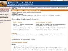
Third graders search TDC database for images of a compass rose, a miles marker, and a US map. They identify cardinal and intermediate directions to help identify their state and other states on a US map.
Curated OER
Introducing Maps Through Dance
Students are introduced to the key concepts of maps; direction, pathway/line, shape and symbol. They create the pathways and shapes they have "mapped" out on paper on the floor. They dance along the paths.
Curated OER
Catch the Pollution
Explore environmental care by conducting a pollution experiment. You'll discuss the causes of pollution in our environment and what the overall impact will be if we can't change our ways. Clear plastic tape, a can, and compass are used...
Curated OER
Spring Doesn't Bug Me
Pupils make a ladybug art item using math vocabulary and measurements of circles. Ladybugs are made using a compass. Once the bug is complete, attach a previously-written Haiku to it.
Curated OER
Pirate Map
Students write directions explaining how to get from one location to another by using a map of their town and use simple maps to identify and locate places.
Curated OER
Magnets: They Are Totally Attractive
Students classify objects that magnets are attracted to and aren't attracted to. They also magnetize metal. They construct and use a compass. They develop a product which show they explain the properties of magnetism.
Curated OER
Geometrically Artistic/Artistically Geomtric
Students identify the two-dimensional geometric shapes Lowrey utilized in the painting Untitled. Students compare the two-dimensional shapes in terms of equivalent fractions, congruency, symmetry and asymmetry. Students create their own...
Curated OER
Radial Design Mandala
Students design original radial art designs.In this radial design lesson, students use compasses and a nature inspired idea to create radial art. Students understand the use of symmetry, balance and design shapes in continual patterns....
Curated OER
Geo-Town
Second graders use a checklist to construct a Geo-Town map including a compass rose, a map key, and a paragraph about a walk around Geo-Town, using appropriate geometric and directional vocabulary to identify the two-dimensional figures...
Curated OER
How Do You Know Where You Are?
Seventh graders are introduced to geographic thinking, setting the stage for the creation of a map showing distance, direction, location and symbols from their residences to school.
Curated OER
Add a Little Art to Your Math
Origami presents a beautiful way to express and test geometric and algebraic concepts.
Curated OER
Line: a Geometric Exercise
Students study the different types of lines and create a drawing demonstrating what they learned.
Curated OER
Patterns, Patterns, Patterns
Create geometric art in your classroom. Learners use a ruler to mark lines on their paper, they then trace a lid to create a series of circles. They color in each circle using two tones or colors to create an interesting visual...
Curated OER
Book: First Encounters Between Spain and the Americas: Two Worlds Meet
Students, after reading Chapter 1 in the book, "First Encounters Between Spain and the Americas: Two Worlds Meet," design and create a map of the Aztec Empire at the time of the first contract with the Spanish. They create the map from...
Curated OER
Capitals, Oceans, And Border States
Students investigate geography by completing games with classmates. In this United States of America lesson, students examine a map of North America and identify the borders of Mexico and Canada as well as the Pacific and Atlantic....
Curated OER
Mr. Lincoln's Hat
Bring out the inner artist with this Abraham Lincoln lesson plan. Elementary students work on a home project creating a hat similar to Abraham Lincoln's hat. They will use geometry and measurement to create the scale of the hat, then...
Curated OER
Making a Tepee and Buckskin Paper
Learners make an Indian craft. In this Native American culture lesson, students view pictures of tepees and then create a tepee of their own. Learners learn about buckskin paper and use it to make an Indian craft.

