Curated OER
Blazing the Trail
Learning about proportions through measuring and mapping distances is the focus of this real-world math instructional activity that doubles as an activity. Mathematicians complete a course designed to measure and map locations in order...
Curated OER
Reading Assessment/ Test Preparation
In this reading test preparation worksheet, students read the stories and answer 36 multiple choice questions about them. This is an on-line interactive reading comprehension test.
Curated OER
Waldseemuller's Map: World 1507
Students investigate the 1507 word map. In this world geography lesson, students examine the details of each section of the map and then draw conclusions about how the people of 1507 understood the world. Students are evalated on...
Curated OER
Energy Efficient Homes
Young scholars observe and gather data from a model simulated home. In this efficiency lesson students examine the factors that influence energy efficiency, complete a lab activity then draw conclusions from their data.
Curated OER
Capitals, Oceans, And Border States
Students investigate geography by completing games with classmates. For this United States of America lesson, students examine a map of North America and identify the borders of Mexico and Canada as well as the Pacific and Atlantic....
Curated OER
Journey of the Nez Perce
Students study the retreat of the Nez Perce Native Americans into Montana while tracing their journey on a map. They use the law of cosines to solve problems based on the navigational methods of the Nez Perce. They work with both the law...
Curated OER
Volcanoes
Second graders review the characteristics and aspects of volcanoes. Using this information, they write a creative story and draw illustrations to accompany the words. They use geographical terms to describe a location and the physical...
Curated OER
Magnets, Electromagnets and Field of Forces
Students investigate magnetic forces. In this electromagnetic lesson, students explore magnetic forces, magnetic fields, and the movement of current through a variety of activities.
Curated OER
Mapping Puerto Rico
Students use maps to discover where Puerto Rico is located. In groups, they use the internet to research the vegetation. They also compare and contrast the relationship between the United States and Puerto Rico's government.
Curated OER
Spatial Understanding of the Cities and Towns
Learners engage in a fun stand up, move around activity that teaches some basics of geography. They develop concepts of distance between community locations and practice giving and taking directions in an organized manner.
Curated OER
Can You Dig It?
Young scholars investigate a fossil site and diagram a site map. They role play as paleontologists.
Curated OER
Lichens as Air Quality Indicators: A beginning lichen identification study (2003
Students use GPS and trees to explore lichens and air quality.
Curated OER
"it's All in the Cellar"
Seventh graders examine the process of constructing a site plan map at archaeological sites. They discuss the process of mapping techniques and calculation of percentages, create a plan site map of a cellar at Jamestown, and calculate...
Curated OER
Media Center Map Skills
Student demonstrates the ability to locate, retrieve, and handle media and equipment by utilizing the library media center floor plan, symbols, and guides. They then use systems of classification to identify, locate, and retrieve materials.
Curated OER
Planet Earth
Students explore and analyze data from different maps in order to explain geographic diversity among the continents. Student groups research continents' physical features and examine how they contribute to quality of life for inhabitants.
Science Education Resource Center at Carleton College
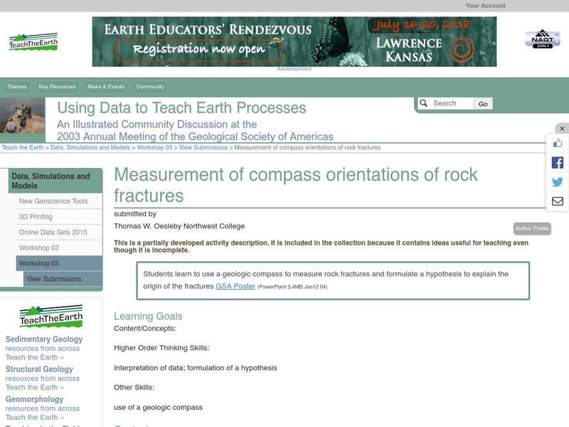
Serc: Measurement of Compass Orientations of Rock Fractures
In this field activity, students measure rock fractures with a geologic compass and formulate a hypothesis to explain the origin of the fractures.
Florida State University
Florida State University: Molecular Expressions: Magnetic Fields and Compass Orientation
Simulate the creation of an induced magnetic field through the use of a simple electric circuit. An interactive demonstration is included.
Other
Learn Orienteering: How to Use a Compass
This site is an easy-to-follow guide on how to use a compass.
Environmental Education for Kids
Eek!: Outdoor Safety: Reading a Compass and Orienteering
Explains how to use a compass to orient yourself outdoors.
TeachEngineering
Teach Engineering: Where Is Your Teacher?
In this activity, students will learn how to take bearing with a compass. They will also learn how to describe a bearing and find an object in their classroom using a bearing.
Other
Geoscience Australia: Map Reading Guide: How to Use Topographic Maps [Pdf]
A topographic map can be challenging to read. This guide explains how to decipher one and how to use a magnetic compass to orient yourself to the landscape. It also explains how to use GPS coordinates.


