Other
Map Zone: Compasses and Directions
Sharpen map skills by exploring these map pages. Learn about the compass rose, different norths, and how to use a compass.
Other
Childu: Compass:over the Edge
Do you know what a 'compass rose' is? Follow this interactive animation to learn how to use a magnetic compass properly. Easy to understand; aimed for younger students.
Online Learning Haven
Finding Your Way: How to Read a Compass
A great explanation on what a compass is and how to read one. After the explanation, a step-by-step guide to drawing your own compass is given.
US Mint
United States Mint: In Mr. Lincoln's Shoes [Pdf]
Using the study of President Abraham Lincoln as a guide, students demonstrate basic map skills including cardinal directions and how to use a compass rose.
ClassFlow
Class Flow: Map Sense
[Free Registration/Login Required] This flipchart reviews the basic components of maps: legend, scale, Compass rose and labels. Clips from United Streaming video are included to illustrate these concepts. Student assessment and a student...
ClassFlow
Class Flow: Maps Globe Skills
[Free Registration/Login Required] This flipchart discusses landforms, mapping and the Compass Rose. Students can practice using Cardinal Directions and use Activotes.
ClassFlow
Class Flow: Gateway to the West
[Free Registration/Login Required] In this flipchart students coordinate locations using a compass rose.
ClassFlow
Class Flow: Introduction to Maps
[Free Registration/Login Required] Students are expected to: explain the purpose of a map; identify and use a compass rose; use a grid to locate objects on maps; and use a map key. Activities are hands-on with students manipulating...
Mariners' Museum and Park
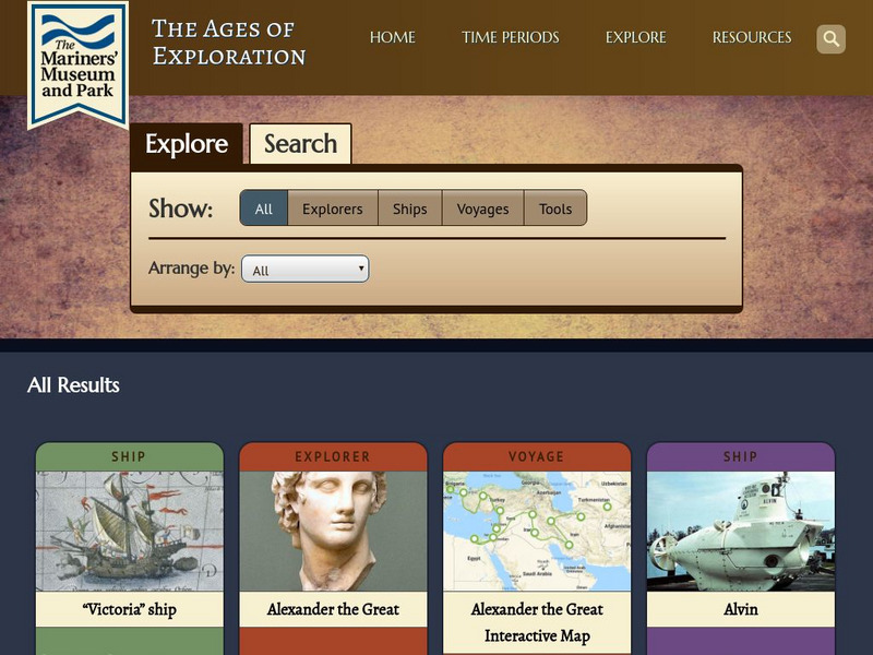
Mariners' Museum: Age of Exploration: Tools of Navigation
Sailors improved on many of the tools used in navigation to help them in their long journeys across an ocean. On this site from the Mariners' Museum, find many of these tools, perhaps in use already in the 15th century, but made even...
PBS
Pbs Learning Media: Let's Learn
This collection of resources for children ages 3-8 are drawn from the public television series Let's Learn, a partnership between the WNET Group and the New York City Department of Education. Let's Learn aims to provide our young...
Pamela Seed
The Art and Science of Fifteenth Century Navigation: Latitude
Chronicle of the changes that occurred in various areas when latitude was identified in 1516. Site includes links to the changes in maps, compass roses, and the science of sailing.
SMART Technologies
Smart: Geography Unit: Maps
This geography unit is designed to follow the 1st Grade geography skills required in Virginia. Students are expected to use cardinal directions, read map keys and understand map symbols, as well as identify our city and capital.
ClassFlow
Class Flow: Parts of a Map
[Free Registration/Login Required] This flipchart explores the basic parts of a map including the map title, compass rose and map legend.
SMART Technologies
Smart: Final Project Map Skills
This lessons explores the different ways we can view our world along with the different parts of a map or globe.
PurposeGames
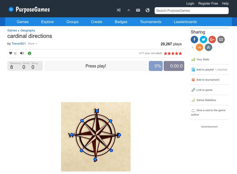
Purpose Games: Cardinal Directions
Play this game to test your knowledge on cardinal and intermediate directions.
ClassFlow
Class Flow: Maps and Globes
[Free Registration/Login Required] This flipchart reviews map and globe features. The seven continents, four oceans, and city-county-state-country relationships are also explained. Student assessment on directions is included.
Curated OER
A View on Cities: Lisbon: Monument to the Discoveries
Giant compass rose at the Monument to the Discoveries (Lisbon)
Curated OER
Wikipedia: National Historic Landmarks in California: Rogers Dry Lake
Centerpiece of Edwards Air Force Base, this endorheic desert salt pan in the Mojave Desert has the worlds largest Compass Rose and the worlds largest runway at 7.2 miles. It is one of the alternate Space Shuttle landing sites.
Other
Boat Safe Kids
This is a delightful site about boats and boating. Lots of games plus a terrific overview of the history of navigation. Includes a visit to a reproduction of Columbus' Nina.
Other popular searches
- Compass Rose Worksheet
- Compass Rose Art Lessons
- Compass Rose Lesson Plans
- Using a Compass Rose
- Creating a Compass Rose
- Making a Compass Rose
- History of Compass Rose
- Using the Compass Rose
- Compass Rose Lesson
- Using Compass Rose
- Compass Rose for Directions
- Making Compass Rose


