Curated OER
Discovering Conic Sections in the Motion of Heavenly Bodies
Math scholars study conics and how they are used today. For this mathematical lesson, pupils construct and slice cones after viewing a demonstration.
Curated OER
Maps Reinforcement
In this map worksheet, middle schoolers complete 6 multiple choice questions and 5 short answer questions about 3 different map figures.
Curated OER
Map Projections
Learners view examples of various map projections using a website. Students record differences between the map projections. Learners discuss uses for the various map projections and the differences between the maps they viewed. ...
Curated OER
Where in the Latitude Are You? A Longitude Here.
Students distinguish between latitude and longitude on the map. In this mapping lesson, students participate in mapping skills to recognize spatial relationships, and where to find natural resources on the map. Students create...
CK-12 Foundation
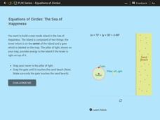
Equations of Circles: The Sea of Happiness
Map this! Help your young mathematicians draw a circular island on a map. Given specifics of the location and size of an island on a map, pupils transform a circle to meet the given requirements. They then determine the location of the...
Rice University
Algebra and Trigonometry
Move on into trigonometry. An informative eBook takes the content of a College Algebra course and adds more relating to trigonometry and trigonometric functions. The content organization allows pupils to build upon their learning by...
Curated OER
Mountains
An informative and well-designed presentation on mountains awaits your geographers. Excellent photographs from mountain ranges around the world are includedin this terrific PowerPoint. The last slide effectively sums up what pupils have...
Mathematics Assessment Project
Sorting Equations of Circles 1
Round and round we go. Learners first complete a task on writing equations of circles. They then take part in a collaborative activity categorizing a set of equations for circles based on the radius and center.
Curated OER
The Earth is an Orange
Students examine and identify the various types of maps. Using two types of maps, they compare the data that can be gathered from each one. They also identify and locate the continents and the oceans. They review the purposes of each...
EngageNY
Are All Parabolas Congruent?
Augment a unit on parabolas with an instructive math activity. Pupils graph parabolas by examining the relationship between the focus and directrix.
Curated OER
Making Sense Of A Round World On A Flat Surface
Students engage in a lesson that is concerned with the development of geography skills. They take part in a number of activities that center around finding and traveling to different locations. The lesson has resource links that can be...
Curated OER
Common Themes
Tenth graders test usefulness of a model Earth by comparing its predictions to observations in the real world. In this landforms lesson students construct an island from a contour map using model clay then analyze the landscape...
Curated OER
Adaptations-What a Concept
Students study the pink river dolphin and how it has adapted to its environment. In this adaptations instructional activity students construct a map that represents certain relationships.
Mathematics Assessment Project
Sorting Equations of Circles 2
How much can you tell about a circle from its equation? This detailed lesson plan focuses on connecting equations and graphs of circles. Learners use equations to identify x- and y-intercepts, centers, and radii of circles. They also...
Curated OER
Gridding a Site
Students make observations of effigy mounds and record them in a notebook. In groups, they must determine the scale of measurement and create their own grid to scale part of the Effigy Mounds National Monument. They also practice using...
Enchanted Learning
Enchanted Learning: Types of Maps
Enchanted Learning provides an easy-to-understand explanation of projections. Site also provides a graph of related terms such as conic projection, cylindrical projection, Mercator projection, and more.
Other
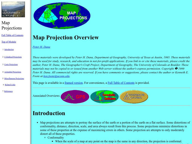
University of Connecticut: The Geographer's Craft: Map Projection Overview
An advanced overview of map projections with illustrative graphics. Created by Peter H. Dana, Department of Geography, University of Texas at Austin in 1995.
City University of New York
Choosing a Map Projection: In Search of a Good Map Projection
College-level geography tipsheet for developing an appropriate map projection.
Curated OER
Etc: Maps Etc: Europe on a Conic Projection, 1915
A map of Europe on a simple conic projection showing straight meridians or lines of longitude, and concentric circular parallels or lines of latitude.


