Hi, what do you want to do?
Curated OER
Wikipedia: Natl Historic Landmarks in Connecticut: Portland Brownstone Quarries
These quarries, active since 1690, were the source of vast quantities of brownstone for New York City, Philadelphia, Boston, other urban areas' buildings.
Other
New York Public Library: Small Town America
This site provides pictures to help you understand the way of life during the turn of the twentieth century. Enter the collection and click on "Browse" for a drop down menu of collections of photographs of "street scenes in cities,...
Curated OER
Connecticut State Flag
Provides extensive information regarding Connecticut's history, famous people, cities, geography, state parks, tourism, and historic sites. A fact sheet of information and a quiz are also available.
Hartford Web Publishing
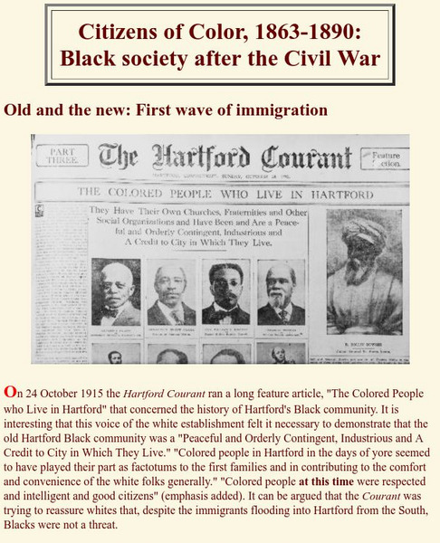
Hartford Black History Project: Citizens of Color: Black Society After Civil War
Discusses the history of the African American community in Hartford, Connecticut, in terms of the migration of former slaves to the city right after the end of the Civil War. Also discusses a second wave of migration as African Americans...
Curated OER
Educational Technology Clearinghouse: Maps Etc: New Haven, 1872
A map from 1872 of the city and harbor of New Haven, Connecticut on Long Island Sound, about seventy-five miles northeast from New York City, and thirty-four southwest from Hartford.
Curated OER
Educational Technology Clearinghouse: Maps Etc: New Haven, 1919
A street map of the business district of New Haven Connecticut, from the Official Automobile Blue Book (1919), showing the college campus and city hall, the suggested Blue Book routes in the city, and the streetcar lines and railroads.
Curated OER
Educational Technology Clearinghouse: Maps Etc: Hartford Business District, 1919
A street map of the business district of Hartford Connecticut, from the Official Automobile Blue Book (1919), showing the Park River, Capitol building, the suggested Blue Book routes in the city, and the direction of travel on one-way...
A&E Television
History.com: The States
Learn unique facts about each American state. You can also read a more in-depth history of each state, watch videos and play a game about all the states.
Curated OER
Educational Technology Clearinghouse: Maps Etc: New Hampshire, 1903
A map from 1903 of New Hampshire showing the capital of Concord, counties and county seats, principal cities and towns, railroads, rivers, and mountain ranges. "New Hampshire, one of the New England States of the American Union, lies...
Curated OER
Etc: The Revolution in New England States, 1774 1783
A map of America's New England states during the time of the American Revolution, including Maine, New Hampshire (with Vermont), Massachusetts, Rhode Island, Connecticut, and Long Island. The map shows major cities, towns, forts, battle...
Curated OER
Educational Technology Clearinghouse: Maps Etc: Hawaiian Islands, 1906
A map from 1906 of the Hawaiian Islands showing the main islands of Hawaii, Maui, Kahoolawe, Lanai, Molokai, Oahu, Kauai and Niihau, cities, towns, ports, volcanoes, terrain, and coastal features. The inset map shows the western islands...
Curated OER
Educational Technology Clearinghouse: Maps Etc: West Indies, 1906
A map from 1906 of the Greater Antilles and Bahama Island group of the West Indies. The map shows capitals, major cities, and ports, terrain and coastal features, submerged banks or reefs, and smaller islands. The water depths are...
Curated OER
Educational Technology Clearinghouse: Clip Art Etc: General Daniel Tyler
General Tyler, born in Brooklyn, Windham County, Conn., January 7th, 1797, died in New York city, November 30th, 1882, was graduated from the United States Military Academy in 1819. He served as a lieutenant of artillery, was adjutant of...


