Hi, what do you want to do?
Curated OER
Story Quilt Project
Students investigate how quilt making was a family and community activity. They read and discuss books, complete various handouts, and create a paper quilt celebrating philanthropic activities.
Curated OER
Vermont History True / False
In this Vermont history worksheet, students read two and a half pages of information about Vermont history. After reading, students complete 10 true or false questions about what they read.
Curated OER
Puerto Rican Migration Historical Fiction Story
High schoolers investigate the experience of Puerto Rican immigrants to America. In this immigration instructional activity, students research the challenges that Puerto Rican immigrants faced and then write historical fiction selections...
Curated OER
The Ozone Between Us
Students investigate how ground level ozone occurs in many areas of the country. They study the ozone problems that are associated with population centers.
Curated OER
Car Wash
Students determine the most appropriate site for a car wash, based on each site's soil characteristics (chemical, physical) and topographic features. They perform an experiment to determine the changes to three different soil types when...
Curated OER
Stately Names
In this algebra worksheet, students complete a word puzzle with clues that links the name to that of a State. There are 26 word problems with an answer key.
Curated OER
Family History
Eighth graders examine immigration patterns. In this family history lesson, 8th graders investigate their own family histories and then compare and contrast immigration patterns of their class to national immigration patterns between...
Curated OER
Propaganda During World War I
Eighth graders consider how propaganda was used during World War I. In this World War I lesson, 8th graders analyze posters that were used to garner support for World War I. Students use the provided worksheet to...
Curated OER
Lincoln Home National Historic Site: A Place of Growth and Memory
Eighth graders study the history of Lincoln's home. In this American History lesson plan, 8th graders examine artifacts from his home to learn about his beliefs. Students participate in a webquest on Lincoln's home.
Curated OER
States in the USA Quiz
In this online interactive geography quiz worksheet, students respond to 50 identification questions about the states in the United States of America. Students have 4 minutes to complete the quiz.
Curated OER
State Report
Students create a state report/ presentation. They research U.S. state information using the Internet and retrieve information about specific topics (Individual States in the USA) using technology resources.
Curated OER
The Boundary Dispute between New Hampshire and Massachusetts, 1677-1741
Young scholars research primary and secondary source documents to examine the separation of New Hampshire from the larger colony of Massachusetts.
Curated OER
Start with a Chart
Students use a given chart and the 50 state quarters to synthesize information about the 50 states and the dates that they were admitted into the union. Students complete a math worksheet while referring to the chart.
Curated OER
Siege and Battle of Corinth
Students complete a variety of activities that go along with the study of and possible fieldtrip to thesite of the Siege and Battle of Corinth in Mississippi. They examine the role transportation routes played in the formation of their...
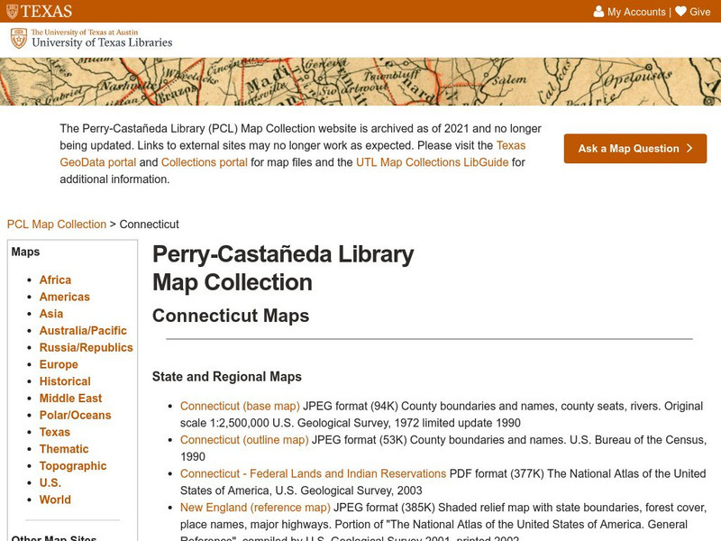
University of Texas at Austin
Ut Library: Perry Castaneda Maps of Connecticut
Includes two maps of the state as well as several topographic maps of cities in Connecticut and one historic map of New Haven in 1920.
Johns Hopkins University
The Johns Hopkins University: Connecticut State Maps
Connecticut maps can be found at this site from The Johns Hopkins University Applied Physics Laboratory. Don't miss out on the opportunity to find out more about the geography of Connecticut.
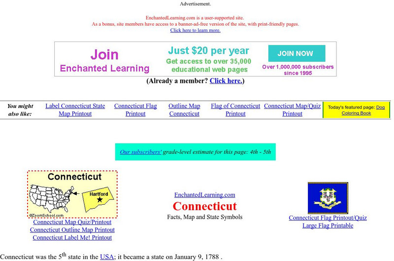
Enchanted Learning
Enchanted Learning: Connecticut
This site has a colorful display of information about Connecticut. It contains a map, pictures, and a list of state symbols for Connecticut.
Cayuse Canyon
The Us50: Connecticut
Provides extensive information regarding Connecticut's history, famous people, cities, geography, state parks, tourism, and historic sites. A fact sheet of information and a quiz are also available.
Other
University of Connecticut: The Geographer's Craft: Map Projection Overview
An advanced overview of map projections with illustrative graphics. Created by Peter H. Dana, Department of Geography, University of Texas at Austin in 1995.
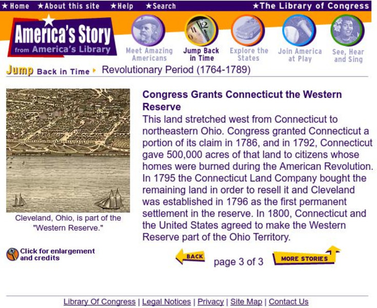
Library of Congress
Loc: The Western Reserve Is Granted to Conn.
A brief explanation of Connecticut's acquisition of the Western Territory. Provides several historical maps to provide a view of The United States as it appeared after the Revolutionary War.
CRW Flags
Flags of the World: Clickable Map of the United States
Includes both printable images and fascinating trivia behind the flag of each state. It includes alternate flags used in the past.
Encyclopedia of Life
Encyclopedia of Life: Connecticut Warbler
The Encyclopedia of Life presents this in-depth overview of Connecticut Warblers (Oporornis agilis), including their habitats, size, conservation status, and much more. Images of this species and maps of its global distribution can also...
Columbia University
The Pequot War
Site includes brief essay on the Pequot War, timeline, maps of the battles and 17th century settlements, as well as link to Pequot Museum and Research Center.


