Hi, what do you want to do?
Other
Space Hopper: Where Is This?
Study the place shown in the photograph. Where is it on the big map? Try interacting with the image or slideshow to look for more information about the location. Find the location on the map and click the red dot to make your choice,...
World Geography Games
World Geography Games: Regions
Identify the world's major regions through this interactive quiz. Regions include the Great Plains, Southeast Asia and Micronesia
United Nations
United Nations: Cartographic Section: The World Today [Pdf]
Here is an up-to-date political map of the world today. Very detailed with a good key.
National Geographic Kids
National Geographic Kids: The Netherlands
Click-through facts-and-photo file about the geography, nature, history, people, culture, and government of the Netherlands. Includes a map of the country that pinpoints its European location on the western coast of the continent.
Other
The True Size
In an effort to illustrate the spatial concepts of maps, this program provides the ability to select countries or continents and move them over others to better visualize the sizes of each of them.
Ducksters
Ducksters: Geography for Kids: Asian Countries and the Continent of Asia
Learn about the geography and the countries of Asia. Facts such as flags, maps, exports, natural resouces, people, languages.
ClassFlow
Class Flow: Maps and Globes
[Free Registration/Login Required] This flipchart reviews map and globe features. The seven continents, four oceans, and city-county-state-country relationships are also explained. Student assessment on directions is included.
Wikimedia
Wikipedia: South America
Offers an overview of the continent of South America, featuring information about politics, geography, and population statistics. Click on the name of a country to discover more details.
National Endowment for the Humanities
Neh: Edsit Ement: Go West: Imagining the Oregon Trail
A 2,000-mile trek across a continent-with no idea what awaits you on the other side. Tell your students to put on their traveling shoes and prepare for the journey of their lives! In this lesson, students compare imagined travel...
Curated OER
Etc: Maps Etc: European Possessions of Africa, 1906
A map of Africa after the Berlin Conference of 1885, which established the European colonial territory claims on the continent. This map shows the Belgian, British, French, German, Italian, Portuguese, and Spanish claims, and the Turkish...
Curated OER
Educational Technology Clearinghouse: Maps Etc: Colonial Africa, 1904
A map of Africa shortly after the Berlin Conference of 1885, which established the European colonial territory claims on the continent. These European and independent boundaries include Algeria and the Saharan Sphere of French Influence,...
Geographyiq
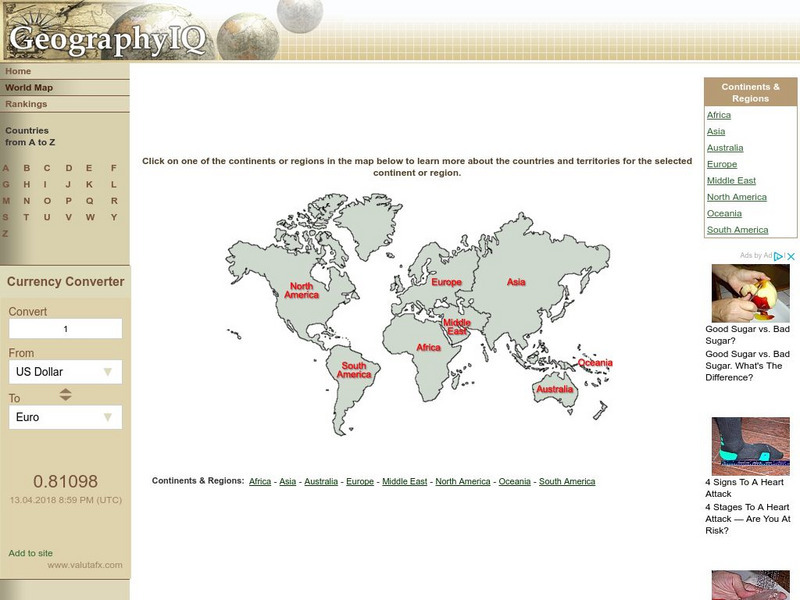
Geography Iq: World Map
Online world atlas allows you to click on one of the continents or regions in the map to learn more about the countries and territories for the selected continent or region.
Other
Just Maps: World Maps
An index of maps and flags of countries throughout the world. Also provides political maps, time zones, population, and religious maps of every region of the world.
Enchanted Learning
Enchanted Learning: Zoom School: Africa
What continent is bordered by the Atlantic Ocean, Indian Ocean, Red Sea, and the Mediterranean Sea? Click here and find out. Explore art, animals, flags, crafts, explorers, geography, and more to learn about Africa.
Other
Clari Net: Local Times Around the World
Click on a continent, and then a country to find out the current time. Includes date, time, latitude and longitude, local time zone, and whether or not the country is on standard time or daylight saving time.
Quia
Quia: World Capitals Matching
Use this website to practice matching world capitals and the corresponding country.
Quia
Quia: World Capitals Concentration
Use this website to practice matching world capitals and the corresponding country in a concentration game type format.
Other
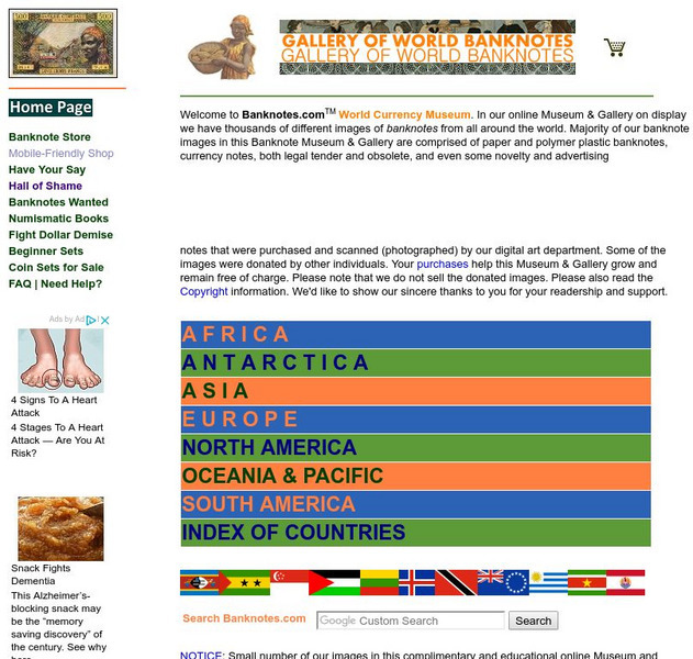
Banknotes.com: World Currency Gallery
Images of bank notes from many countries are available here. Choose a continent, then a country, and display pictures of that country's money.
Other
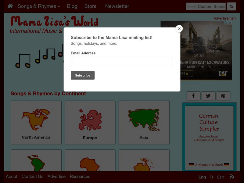
Mama Lisa's World: Songs & Rhymes of All Nations
This resource was organized by a mother who wanted to give people a sense of the nursery rhymes and songs from around the world. Find rhymes and songs from every continent, in many languages--you can even listen to some online.
Other
Mama Lisa's World: Songs & Rhymes of All Nations
This resource was organized by a mother who wanted to give people a sense of the nursery rhymes and songs from around the world. Find rhymes and songs from every continent, in many languages; you can even listen to some online.
Curated OER
Etc: Maps Etc: Physical and Political Map of Africa, 1879
Map of pre-colonial Africa, showing the predominately native countries and territories of the African continent in 1879. The counties include the Barbary States of Morocco, Algeria, Tunis, Tripoli and Fezzan, the Egyptian territories of...
Curated OER
Etc: Maps Etc: Countries, Districts, and Provinces of Africa, 1914
A map of the African continent in 1914 showing the European possessions at the time.
New York Times
New York Times: Crossword Puzzle: World Capitals
Here is an interactive & printable crossword puzzle developed by the New York Times Learning Network. The theme of this puzzle is World Capitals.
ClassFlow
Class Flow: World Geography
[Free Registration/Login Required] This flipchart is designed to quiz students about their general knowledge of World Geography. Use as a review or pre-test prior to instruction or just for fun.


![United Nations: Cartographic Section: The World Today [Pdf] Graphic United Nations: Cartographic Section: The World Today [Pdf] Graphic](https://static.lp.lexp.cloud/images/attachment_defaults/resource/large/FPO-knovation.png)

