Hi, what do you want to do?
CK-12 Foundation
Ck 12: Earth Science: Maps
[Free Registration/Login may be required to access all resource tools.] How to use topographic, bathymetric, and geologic maps.
Goshen College
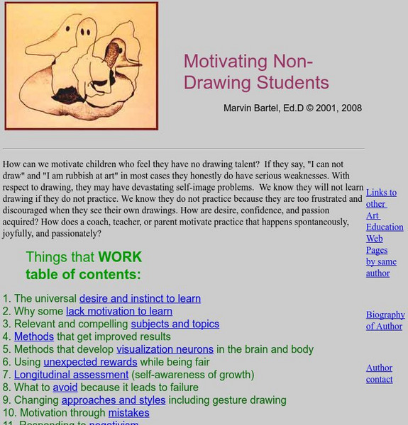
Motivating Non Drawing Students
Marvin Bartel writes this article in hopes of helping you find a way to reach the students who insist "I can't draw."
Goshen College
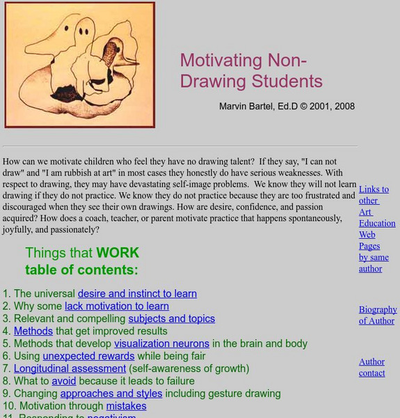
Motivating Non Drawing Students
Marvin Bartel writes this article in hopes of helping you find a way to reach the students who insist "I can't draw."
Other
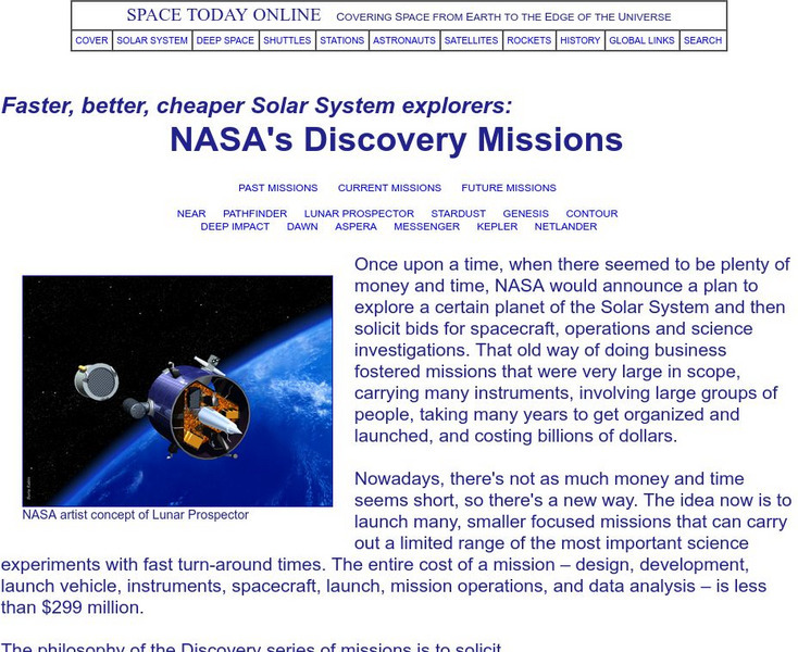
Space Today Online: Nasa's Discovery Missions
Survey of unmanned Discovery spacecraft missions such as the Mars Pathfinder rover and other past, present, and planned missions. Illustrated.
Curated OER
Etc: Maps Etc: Elevations of the Asian Continent, 1912
An orographic map of Asia from 1912 showing average elevations and land features of the region. The map uses color-contouring to show land elevations from depressions below sea level to above 12,000 feet. Offshore fathom contour lines...
Curated OER
Etc: Maps Etc: Orographical Map of North America, 1911
A map from 1911 of North America, Central America, Greenland, and the Caribbean showing mountain systems (orographical), highlands, plains, and major rivers of the region. The map uses colot-contouring to show general land elevations...
Curated OER
Educational Technology Clearinghouse: Maps Etc: Arizona Highlands, 1911
A map from the U.S.Geological Survey Camelback quadrangle (1911) showing the waste-bordered mountains of the Arizona Highlands. The text notes the lack of a permanent stream, the large number of intermittent streams as shown by the...
Curated OER
Educational Technology Clearinghouse: Maps Etc: River Basins of Asia, 1912
A map from 1912 showing the various drainage basins across the Asian region. This map is color-coded to show watersheds draining to the Pacific Ocean in pink, to the Indian Ocean in green, to the Arctic Ocean in purple and inland basins...
Curated OER
Educational Technology Clearinghouse: Clip Art Etc: Jefferson Nickel
Contour line drawing the Jefferson nickel.
Curated OER
Educational Technology Clearinghouse: Maps Etc: Bear Valley Region, 1911
A map of a portion of the San Bernardino Mountains near Big Bear Lake in 1911. The map is based on the USGS San Gorgonio quadrangle, with contour intervals of 500 feet. "Bear Valley and the adjacent country exhibit the subdued relief...
Curated OER
Educational Technology Clearinghouse: Maps Etc: Georgetown District, 1906
A contour map from a portion of the USGS Georgetown quadrangle (1906) showing the present topography of the Georgetown district of Colorado. Contour intervals are 500 feet.
Curated OER
Etc: Maps Etc: Georgetown District Upland Restored, 1906
A contour map from a portion of the USGS Georgetown quadrangle (1906) showing the assumed older topography of the Georgetown district of Colorado with older montainous upland features restored. Contour intervals are 500 feet.
Curated OER
Educational Technology Clearinghouse: Maps Etc: Dublin, 1920
A map of Dublin, Ireland, in 1920, showing major streets and roads, canals, railways, city boundary, and neighboring towns. The map shows historical landmarks, contour-colored detail of water depth in Dublin Bay, the harbor walls...
Curated OER
Educational Technology Clearinghouse: Maps Etc: King's County, 1908
A detailed travel map of Ireland in 1908, showing all or portions of counties Westmeath, King's, Galway, and Queen's. The map shows first class and secondary roads, railways, cities, towns, ports, rivers, lakes, terrain, and coastal...
Curated OER
Educational Technology Clearinghouse: Maps Etc: Cork and Youghal, 1908
A detailed travel map of Ireland in 1908, showing portions of counties Cork and Waterford. The map shows first class and secondary roads, railways, cities, towns, ports, rivers, lakes, terrain, and coastal features of the area. This map...
Curated OER
Educational Technology Clearinghouse: Maps Etc: Tralee and Kilkee, 1908
A detailed travel map of Ireland in 1908, showing portions of counties Clare and Kerry. The map shows first class and secondary roads, railways, cities, towns, ports, rivers, lakes, terrain and coastal features of the area. This map uses...
Curated OER
Educational Technology Clearinghouse: Maps Etc: Cavan and Monaghan, 1908
A detailed travel map of Ireland in 1908, showing all or portions of counties Tyrone, Armagh, Fermanagh, Monaghan, Cavan, Leitrim, Longford, and Meath. The map shows first class and secondary roads, railways, cities, towns, ports,...
Curated OER
Educational Technology Clearinghouse: Maps Etc: Dublin and Wicklow, 1908
A detailed travel map of Ireland in 1908, showing all or portions of counties Meath, Dublin, Kildare, and Wicklow. The map shows first class and secondary roads, railways, cities, towns, ports, rivers, lakes, terrain, and coastal...
Curated OER
Educational Technology Clearinghouse: Maps Etc: Galway and Connemara, 1908
A detailed travel map of Ireland in 1908, showing portions of counties Galway and Clare, with the western section of Connemara labeled "Joyces Country." The map shows first class and secondary roads, railways, cities, towns, ports,...
Curated OER
Educational Technology Clearinghouse: Maps Etc: Limerick and Tipperary, 1908
A detailed travel map of Ireland in 1908, showing all or portions of counties Clare, Limerick, Tipperary, and Waterford. The map shows first class and secondary roads, railways, cities, towns, ports, rivers, lakes, and terrain features...
Curated OER
Educational Technology Clearinghouse: Maps Etc: Antrim and Londonderry, 1908
A detailed travel map of Ireland in 1908, showing portions of counties Londonderry, Antrim, and Tyrone. The map shows first class and secondary roads, railways, cities, towns, ports, rivers, terrain, and coastal features of the area....
Curated OER
Educational Technology Clearinghouse: Maps Etc: Highwood Mountains, 1911
A contour map showing the topography of the Highwood Mountains, Montana. The contour intervals are 200 feet.
Curated OER
Educational Technology Clearinghouse: Maps Etc: Cornwall, 1908
A detailed travel map of the southwestern tip of England from 1908, showing portions of Cornwall County. The map shows first class and secondary roads, railways, cities, towns, ports, rivers, terrain and coastal features of the area....
Curated OER
Educational Technology Clearinghouse: Maps Etc: East Kent, 1908
A detailed travel map of southeastern England from 1908, showing portions of Kent County. The map shows first class and secondary roads, railways, cities, towns, ferry routes across the Strait of Dover with distance in miles, rivers,...
Other popular searches
- Contour Maps
- Blind Contour
- Geography Contour Lines
- Contour Maps and Elevation
- Contour Drawings
- Blind Contour Drawing
- Contour Planting
- Contour Line Drawing
- Geography Contour Lines
- Contour Intervals
- Teaching Contour Lines
- Contour Maps Topography


