Hi, what do you want to do?
ABCya
Ab Cya: World Bingo
World Bingo is a great way for children and adults to test their knowledge on the different countries of the world! With questions ranging from things like capitals, flags, and landmarks, you're bound to learn something new!
Smithsonian Institution
National Museum of Natural History: African Voices
This site is the web presence of "African Voices," a permanent exhibition at the National Museum of Natural History. It explores the "diversity, dynamism, and global influence of Africa's peoples and cultures." Includes art, texts, and...
Nations Online Project
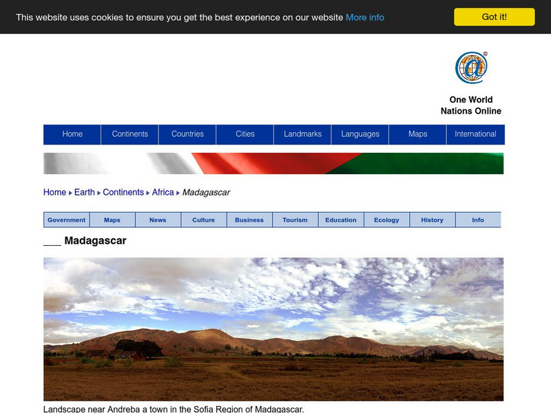
Nations Online: Madagascar
Offers an excellent online resource and country profile of the Southern African island of Madagascar, background overview, and numerous links to comprehensive information on the island's culture, history, geography, economy, environment,...
PBS
Wnet: Thirteen: Africa Teacher Tools: Lesson Plans
Explore this comprehensive site featuring links to lesson plans for Africa. These teacher tools range in content and grade level. Use this site to discover more about the culture and history of Africa.
Houghton Mifflin Harcourt
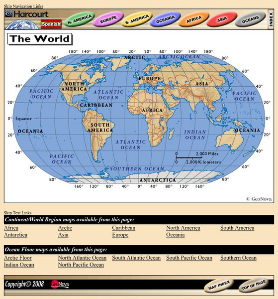
Harcourt: School Publishers: World Atlas: The World
Provides continent, country, and ocean floor maps from all over the world. Click on a continent's name to access the detailed maps which also include statistical facts on each available country.
Other
Reach the World: Geogames Build Planet Earth
Practice your mapping skills with Build Planet Earth! This animated 3D globe challenges players to locate the Poles, continents, countries, and cities. Colorful graphics and sound effects as well as a teacher's lesson plan are included.
Enchanted Learning
Enchanted Learning: Explorers
Do you know who Afonso de Albuquerque was? Do you know where Robert de LaSalle was from or where Jacques Cartier sailed? Enchanted Learning's A-to-Z list of explorers lets you browse through a large collection of biographical notes on...
Other
Banknotes.com: World Currency Gallery
Images of bank notes from many countries are available here. Choose a continent, then a country, and display pictures of that country's money.
University of Texas at Austin
Perry Castaneda Library Map Collection
Maps from all over the world can be printed from this site. Find historical maps of the world; thematic maps; and world, continent, country, state, and county maps for your use.
Other
Nation Master
A vast quantity of data has been collected here for comparing countries on, as the site says, 'just about anything.' There are over 300 countries, as well as over 40 groupings of countries based on their commonalities. There are...
Colorado State University
Colorado State University Libraries: Garst Collection: Animal Geography
Interactive map for discovering which animals live on which continent.
National Geographic
National Geographic: My Wonderful World: World Wall Maps (Pdf)
Make your own full color or black and white mosaic wall map on your own printer. World maps, continents, Asian regions, and oceans are available for downloading, printing, and assembling.
Other
Asia Society: Policy
A comprehensive storehouse of all types of information on Asia, both current and past: maps and statistics, Asian food, travel guides, photographs, articles, timelines, and more. Asia Source is the work of the Asia Society, a national...
Enchanted Learning
Enchanted Learning: World Flags
Enchanted Learning features this website devoted to the study of the world's flags. There are fact sheets, illustrations, current and historical flags, and related links.
National Geographic
National Geographic: European Borders Through History
Lesson in which students use maps to explore how European political borders have changed over time. Maps after WWI, WWII and European Union provided for comparison.
National Geographic
National Geographic: Looking Back, Looking Forward
Lesson reviews what young scholars have learned in the unit on European cultural and physical landscape. Students compare maps, questions and ideas from the beginning of the unit and identify new questions for research.
University of Texas at Austin
Francais Interactif Me Voici
Discussing families, pastimes, nationalities - telling time all presented with extensive vocabulary lists and utilized in context through audio, video and interview clips - excellent for listening comprehension and cultural exposure. Has...
Columbia University
Columbia University: Asia for Educators: East Asia in Geographic Perspective
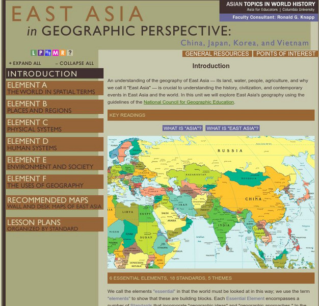
This teacher resource is devoted to teaching about the geographic history of East Asia. Includes standards information and links to related lesson plans. Also features a downloadable world map (PDF, requires Adobe Reader).
National Geographic
National Geographic: Political Borders
Lesson in which students explore the concept of borders and regions by examining culture and physical location and determine how and where borders should be placed. Lesson contains two activities with maps.
National Geographic
National Geographic: Conflict on the Danube
Lesson in which students use maps and text to explore physical and cultural boundaries and the disputes over control of them. Includes two activities with comprehensive and adaptable materials.
Georgia Department of Education
Ga Virtual Learning: Government & Politics: Comparative Citizens, Society, State
AP Government and Politics learning module explores political patterns and how they are influenced by the interactions between state and society. Comprehensive, multi-media resources.
SMART Technologies
Smart: World Map
This lesson features a world map with labeled countries, a global map, and an interactive map of the seven continents.
ClassFlow
Class Flow: Continental Regions
[Free Registration/Login Required] A flipchart showing the different regions of the world: hot deserts, tundra, equatorial rainforest, Mediterranean, and also Irish landscapes. Some activities are included to present the vocabulary...
Curated OER
Etc: Maps Etc: Physical and Political Map of Africa, 1879
Map of pre-colonial Africa, showing the predominately native countries and territories of the African continent in 1879. The counties include the Barbary States of Morocco, Algeria, Tunis, Tripoli and Fezzan, the Egyptian territories of...


